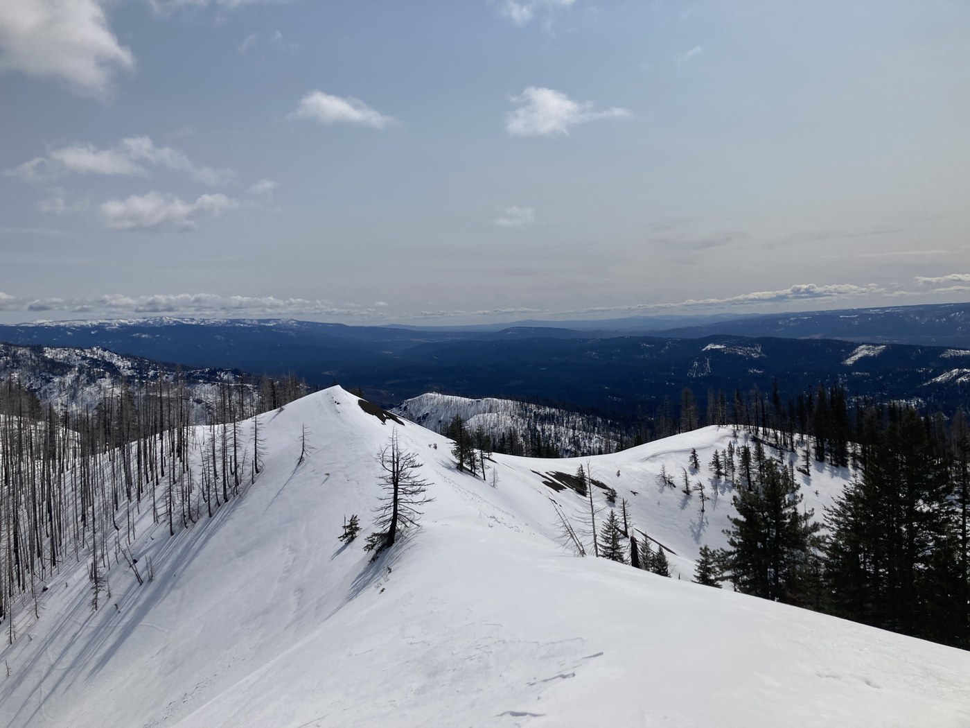
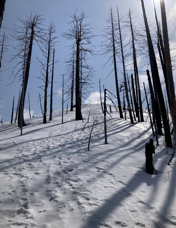
I hiked up Hex Mountain on a Thursday, starting at 9am. I parked across from the fire station at the designated spot, and walked the quarter mile or so to the start of the trail. The parking strip was fairly clear of snow and there’s room for a few cars. The first part of the hike along the forest road is dirt with patchy snow. It was easy to walk through with boots. Once you turn up the marked Hex Mountain trail sign, the trail gets more snowy and more rugged, there are a lot of downed trees and it’s a little sloppy. I put microspikes on about a half mile after the Hex Mountain sign, as it was still cold and the snow was compact and a bit slippery when it got steeper. A bit of navigation was needed today as there isn’t always an obvious trail. I’ve hiked here before and knew that you basically just follow the ridge up up up, but I did appreciate having a GPS map for reassurance. As others have mentioned, don’t hike too close to the edge on the ridge as there are cornices. It took me 2 hours, 15 min to reach the summit (and 1hr 50min descent). The views were gorgeous today! I didn’t use my snowshoes, but it was warming up as I finished the hike around 115pm and it was getting more slushy towards the afternoon. I only had some mini post-holing toward the end of the hike. If I had started later in the day I may have found snowshoes helpful. I did wish I had poles for that last big hill to the summit. It is steep!
My GPS watch tracked 7.7 miles roundtrip (from car to summit to car). And 3,326’ elevation.
Trip Report
Hex Mountain, Hex Mountain Snowshoe — Thursday, Apr. 13, 2023
 Snoqualmie Region > Salmon La Sac/Teanaway


Comments