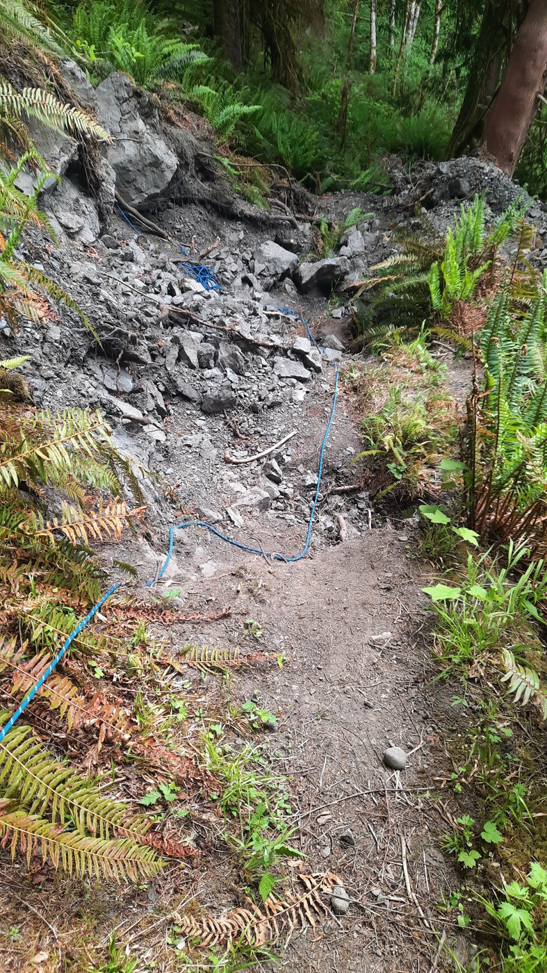
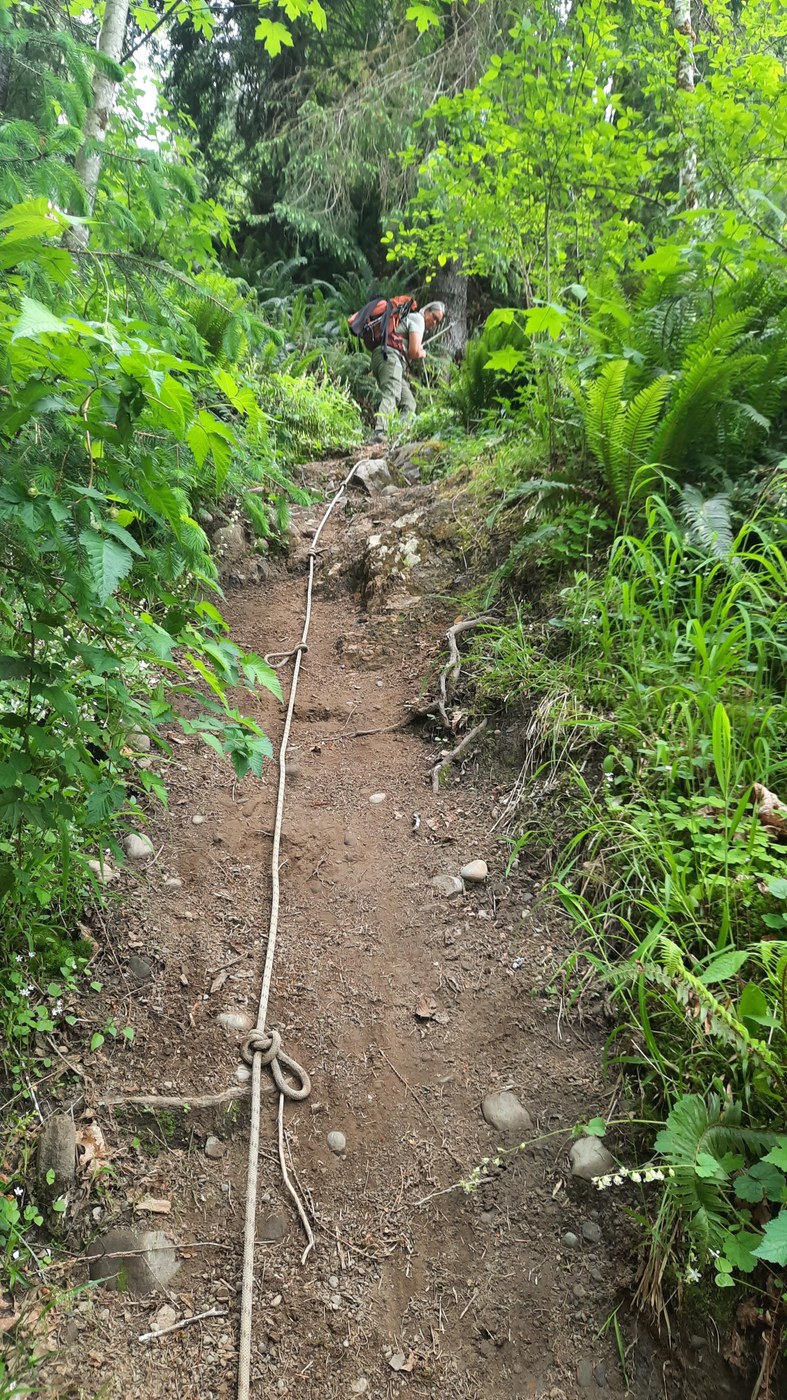
Other than the couple hundred yard quick decent from the trail head to the valley floor, the trail is flat for 3 miles. At that point the trail swings right next to the river and a great lunch spot. For the next half mile we went, it gains elevation to get above the eroded river bank. You are greeted by two rope assist climbs and a couple thin sections with the edge almost straight down to the river. At 3.5 miles we stopped at a large hole in the trail left by two large tipped over tree root balls. A new blue rope has been installed to assist passage the four or so feet into the hole with a rock scramble across to the other side. The picture doesn't accurately show the drop into the hole. Enlarge the picture and you will see the blue rope disappear over the edge and then continue. Since we were day hiking, we turned back. Others have obviously continued on. Recent reviews on All Trails don't mention this section other than to say parts of the trail are primitive. We're in the mountains and primitive sections have to be expected. The great WTA trail crews can't repair all the damage all the time.
With our folding saw, we cleared numerous branches and limbs crossing the trail. Two overhead trees remain but with cleared limbs are easy to walk under. One large rotted trunk can be stepped over. The steep section above the river has a couple trees to be straddled and would have to be removed by WTA. There is a poorly marked 4 way intersection on the flat section. Follow the arrow pointing to the right, .5 miles to the National Park boundary. When taking the right turn, you can cross the creek with the rope assist to the log bridge or a little further to a low water rock crossing.
To borrow from a previous report, past mile 3 was "a little spicy" but we still enjoyed the hike. Only a few other hikers on the trail and any mud had pretty much dried up.


Comments