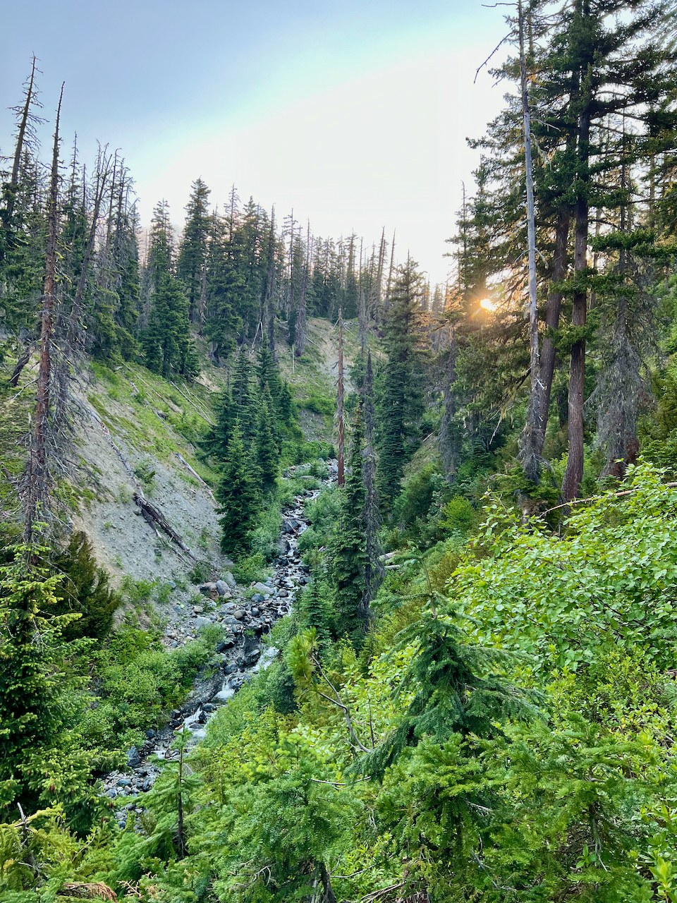
Scatter Creek up to Fish Eagle Pass is exactly what others have written...a trail apparently no longer maintained by the Forest Service. Still, that is what makes it more of an adventure and a good way to exercise your route-finding skills. Once you cross the creek at 4700 ft is where the trail often disappears for long stretches with nary a blaze, cairn or trace of human footprint to be found. Still, occassionally there are signs of the direction and stretches of trodden trail. Definitely take a GPS device with several tracks of others to help find the way. Just note that almost everyone, including me, lost the trail at some point so our tracks are not always spot on (but does it matter? haha). Following the trail coming back down is definitely easier, as you're looking down on its silhouette, and so it's not so completely lost in the avalanche debris, dense meadow or tree-fallen forest. If you're not up for scrambling to the top of Solomon or around on the Scatter Peaks, the pass is a worthy destination in itself, as the unique end-on view of Mt Stuart is eye-catching. Enjoy the chance to feel like you're off-trail while being completely alone doing it!


Comments