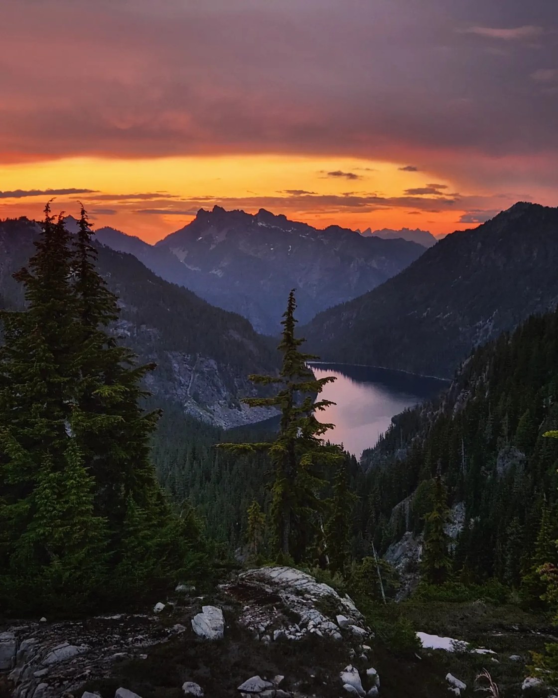
We did a 3 day 2 night loop up the West Fork Foss, traversed Iron Cap, and out past Tank Lakes and the Necklace Valley from June 24-26th.
ROAD: The road was in good condition to either trailhead, with some avoidable potholes.
WEST FORK FOSS TO BIG HEART: There have been a couple of good reports for the West Fork from this weekend so I won't say much about this section, but the trail was in good shape with inconsequential snow to Big Heart Lake.
BIG HEART TO CHETWOOT: The trail past Big Heart had an abrupt change of pace as it got a lot steeper, more rugged, scrambly in spots, and less defined. There were slightly larger snow patches in places, but nothing difficult to get through. On the way up Atrium there was a small split in the path at one point and we accidentally went left instead of right, but corrected quickly.
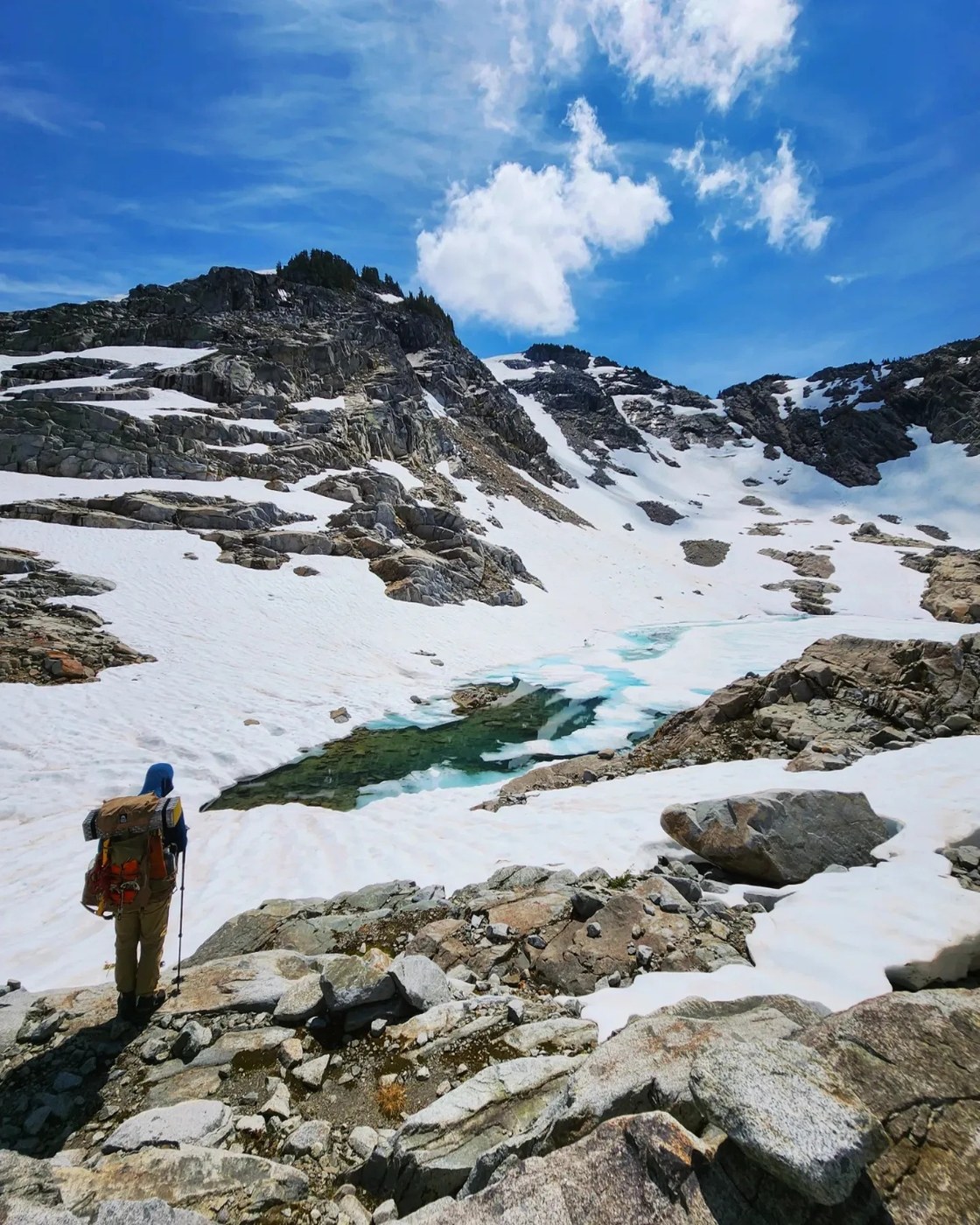
Once we dropped down into the saddle on the ridge after Atrium, we had significantly more snow, but we didn't use traction this day and made it to camp near the small mostly frozen tarn just above Chetwoot Lake. We met a pair who had done the traverse the opposite direction (and climbed a bunch of the surrounding peaks to boot), which boosted our confidence that conditions were passable!
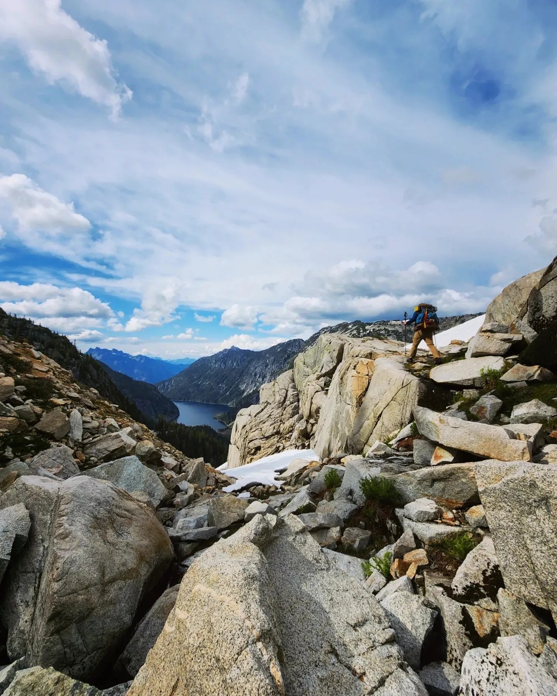
CHETWOOT TO IRON CAP GAP: This day's adventure was almost entirely off-trail, involving navigation through lots of boulders and snowfields. It was a very rugged day, with lots of route-finding through difficult terrain. Don't underestimate this section of the route!
We left camp and descended to the edge of Little Chetwoot (melted out). We scrambled along the bouldery edge and briefly to the shore of Chetwoot (mostly melted), before climbing back up and heading to the lake below Iron Cap (still frozen for the most part).
We decided to try and head up Iron Cap with hopes of a summit instead of following where the summer trail traverses around the mountain. The route we ended going involved some scrambling, along with a short snow slope traverse that we used crampons and ice axe for. Sadly, by the time we worked our way up to the summit ridge it was fairly late in the afternoon. We saw how much boulder hopping was still involved to attain the summit, and we decided to forego the summit and just drop down in interest of getting to camp at a sane hour.
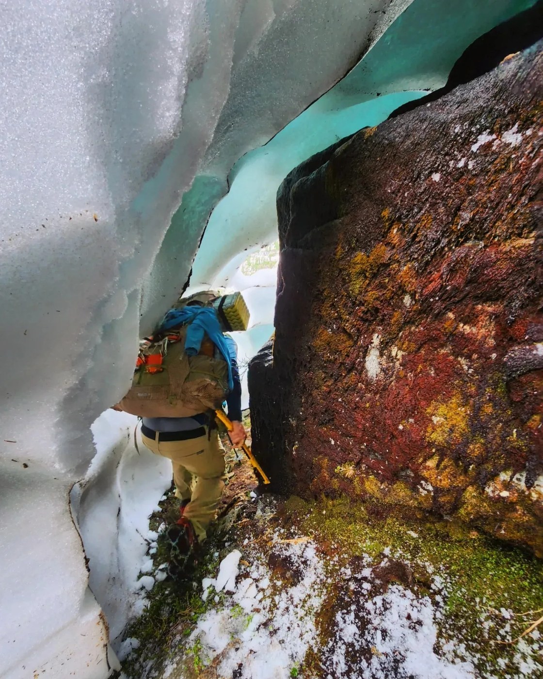
The descent off the Iron Cap summit ridge started out with some straightforward class two boulders but quickly devolved into some steep, brushy, scrambly trees, and we even crawled under a snow bridge to get into a moat between snow and rock at some point. We eventually popped out into yet another boulder field and made our way along and around another basin before climbing up to Iron Cap Gap where we found a flat spot to call home for the night.
EXIT VIA TANK LAKES/NECKLACE VALLEY: The terrain was significantly more mellow from Iron Cap Gap to Tank Lakes, with mixed easy snow, melted out rock and even patches of trail, which were exciting! More of the same on the descent down the moraine. The section at the base of the moraine through the trees was confusing and we lost it a couple of times.
The rest of the hike out was fairly straightforward although it felt a little less maintained than the West Fork Foss. There were more trees down with one particularly large area of blowdowns that we worked around, and other "normal" trail obstacles with areas of overgrown brush (the previous trip report before mine goes into a bit more detail about this section, if you need more info).
GPX: Linked below, but my phone died on the exit so I don't have the full loop. We relied pretty heavily on GPS for this route.
BUGS: Were pretty annoying, they weren't the worst I've ever had considering I didn't use any repellent or bug net, but I definitely got a whole bunch of bites.
WATER: Lots of water sources on route.
GEAR USED: Microspikes, crampons, ice axe, poles.
Follow along on instagram for more photos/videos/adventures! @thenomadicartist


Comments
Lunapeople on East Fork Foss - Necklace Valley, West Fork Foss River and Lakes, Iron Cap Mountain, Tank Lakes
sounds like an amazing adventure! Thanks for the report!
Posted by:
Lunapeople on Jun 27, 2023 09:03 PM
Palex on East Fork Foss - Necklace Valley, West Fork Foss River and Lakes, Iron Cap Mountain, Tank Lakes
Thank you for info. I am planning to go in the beginning of August.
Posted by:
Palex on Jul 03, 2023 11:28 PM