This was a 2 night- 3 day trip with my son. We left his car at the Deception Creek trailhead. (That road could use some help just before the parking lot! High clearance or experience with washouts recommended to make the final climb, otherwise park by the train trestle.) I drove my car to the Tunnel Creek TH. This road was in great shape with only a few larger potholes.
Tunnel Creek trail is narrow, but in generally good condition as it climbs steadily to Hope Lake at the junction with the PCT. It was wet after the heavy rains on Monday. The PCT feels like a dream compared to the side trails-- just generally easier to see and navigate the trail. There is a pit toilet at Hope Lake.
Heading south from Hope Lake, there are some water sources approaching Trap Lake and a couple camp site options that aren't on the map. There is no view of Trap Lake north of the spur trail down to it. There are multiple options for campsites at Trap Lake. The pit toilet there is on the knob south of the stream outlet.
The climb up to Trap Pass is lovely with great views of the lake below and the peaks in all directions. There is a burn that hit the top of the ridge (and the west side of the slope) last fall (2022). The trail brings you in and out of a small portion of it just before reaching the Pass. Lovely flat campsite at the top as long as you don't need water.
From the pass, the trail zig zags steadily down the slope until the intersection with Trail 1060.1. From there the PCT cuts south across the slope towards Glacier Lake with gentle ups and downs. We saw more day use people in this area, some with dogs.
The spur trail down to Glacier Lake needs some love. This might have been the most difficult section in the whole hike. The pit toilet is brand new and located up by the PCT. The campsites are down near the lake. There are more campsites further south on the PCT near streams, but no lake or pit toilet access.
The junction with the Surprise mountain trail is not clear. The PCT is clearly marked by rocks and I could see the Surprise mountain trail a bit up the slope, but not specifically where it came in to the PCT. The climb for the next half mile or so is fully exposed switchbacks up the granite rock field. Thankful for the temps in the high 60s and not hotter! The middle section is a nice reprieve before the final set of switchbacks to Pieper Pass.
From Pieper Pass, it's a steady drop to Daisy and Deception Lakes. Daisy Lake was the only spot where we had heavy mosquitos. It was about 6pm and there were a lot of people either already at camp or heading NOBO. We continued on, looking for the next campsite.
Trail 1059.2 is clearly marked at the PCT junction. Downed trees have been cleared from the trail, but it gets little use and is hard to see in many places. Trail 1059 is wider, more gentle, and in better shape. We were hoping to camp at the site north of the junction with 1059.2, but a Forest Service work party was there. They directed us 2 miles further down trail. We were not in any condition to go another 2 miles, so we did our best to leave no trace of our camp for the night a little further down the trail.
The work party is steadily clearing down trees heading north. There were a lot of trees still down before the ford across Deception Creek, and a few more on the remainder of Deception Creek trail.
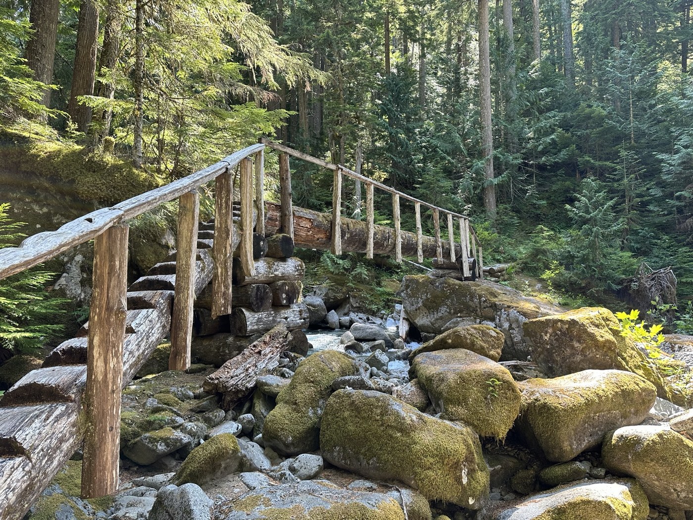
The bridge over Sawyer Creek needs some help-- the railing is partially gone and part of the remainder leans heavily over the bridge, forcing side to side movement. The 1.5 miles north of Sawyer Creek is brutal for its natural steps. It's slow work to navigate the safest way down for tired knees at this point (climbing up would have not been an issue). The last 1.5 miles is lovely and the bridge over Deception Creek is amazing!


Comments