
We arrived at the trailhead around 8:45 am and most of the parking spots were taken at the trailhead and below on the road. There were more on the road above.
The trail starts out with a moderately steep switchback section in full sunlight, but quickly goes into the forest and the grade moderates a bit. The first mile gains about 700' and that's the steepest section until the last push to the summit.
We stopped a few times in the shade in the forested section since there isn't any shade later on the hike. In the morning hours the bugs were manageable and Picardin kept them at bay.
Once reaching the split for the lake trail, there is no more shade for the entire hike. You might find a tree or two that provide shade for about 5 feet, but that's it. Bring lots of sunscreen!
The last half mile up to the first summit is steep but the trail is in good shape and there are lots of tiny switchbacks to help keep it manageable. On top of the first summit there is a colony of flying ants. Hike up, take a photo, and hike off immediately. They are absolutely swarming and you will not be able to stop here.
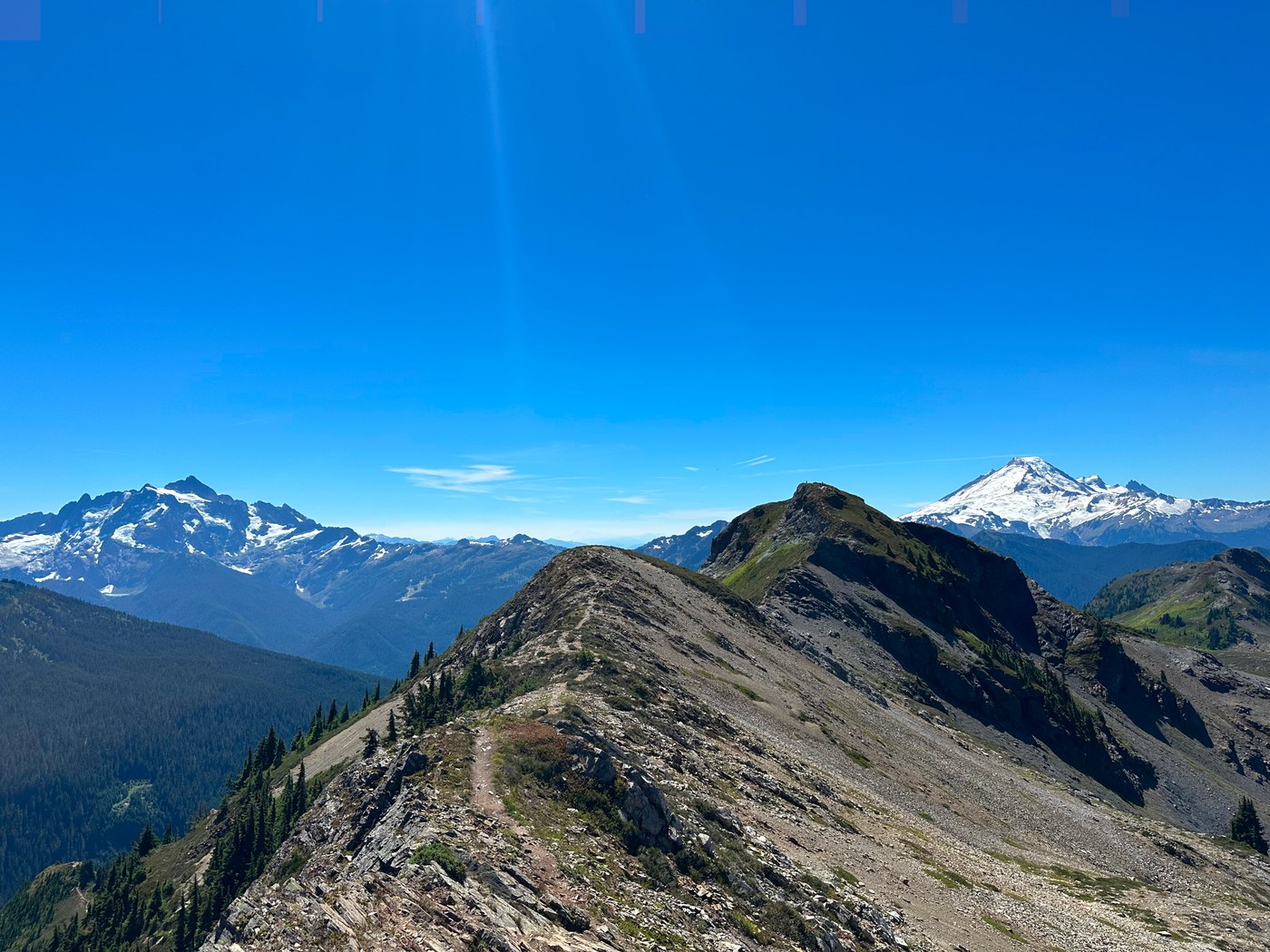
If you do continue on to the true summit the ridge hike is beautiful and not difficult. There are a couple low end class 2 moves on the final hike up to the true summit, but it is never exposed and never challenging. However, the summit is even more covered in flies than the first one. We walked to it, touched it, and got off immediately. They are very localized to the summit so we came down to the area just below the summit block and had our lunch.
On the way back down, the sunny section got HOT. We decided just to push all the way back to the forest before we took a break, but that turned out to be a mistake. The forest was so full of bugs we couldn't stop for more than 10 seconds at a time. They didn't seem to be biting, but they were swarming you enough to drive you mad. Picardin didn't seem to bother them in the slightest, either.
We got back down to the trailhead around 3 pm and there was plenty of parking. Lots of people were heading up to camp but lots of spaces were still open.
Garmin stats: 8.74 miles, 3,050 ft elevation gain
Comments