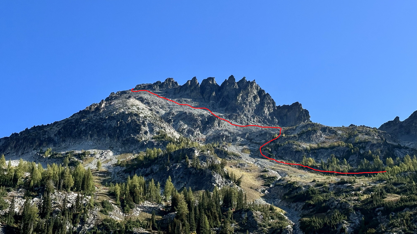
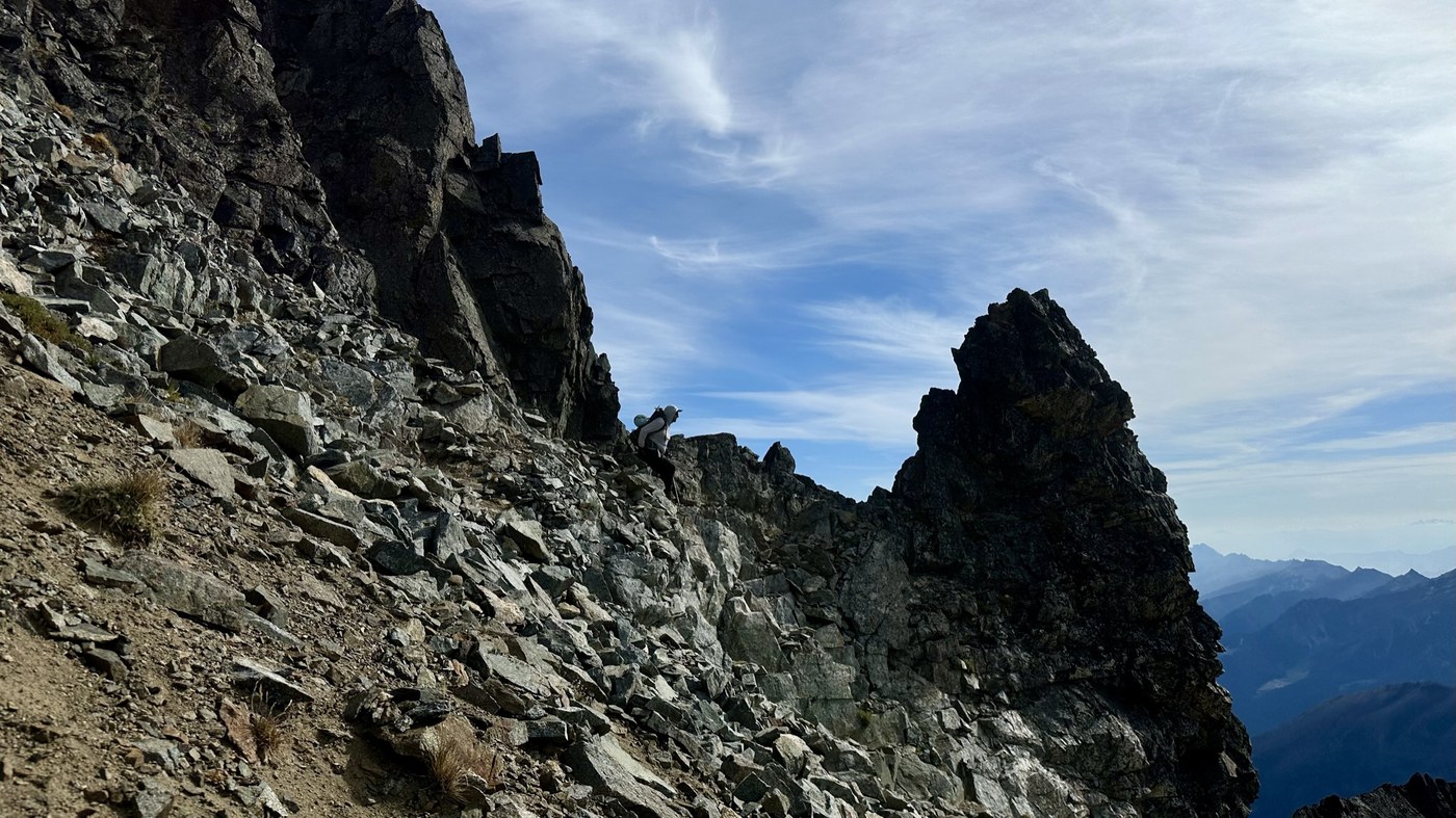
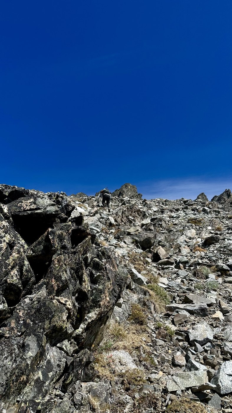
Note that this is a scramble and there is no established trail above 8000 feet. The road into the Phelps Trailhead is long and very rough - only high clearance 4-wheel drive vehicles should make the trip. I ti will take about an hour from US2. We saw a Subaru in the parking lot with a flat. The trail to Leroy basin is steep and has loose dirt and a few blowdowns. There are many great campsites and flowing water as of 9-15-2023 at the south end of the campsites - good filter spot at 48.13999,-120.82735. We camped overnight and headed up for 7FJ late AM. The trail cuts off up towards a basin at 0.3 miles. At 0.5 miles, you will hit a stream and make your way up a gully to a broad basin at close to 8000 feet. There is a faint climbers trail, occasional cairns, and many tracks to download from peakbagger.com - the rock is very chossy and loose. From there, you make your way up to 7FJ. There are a couple of options - we kept more left and crested the ridge far left of the gendarme to avoid the steeper scrambling. If you make your way for the gap between the gendarme, and base of the fingers, it is a bit steeper and may require using your hands. Both routes intersect to the final push to the summit. There is little exposure on the route as you will have plenty of space from the cliffs you skirt around. Poles are recommended due to the loose rock and dirt.
Trip Report
Seven Fingered Jack — Wednesday, Sep. 13, 2023
 Central Cascades > Entiat Mountains/Lake Chelan


Comments