We did a two-night loop of the Upper Foss valleys, starting from the Necklace Valley trailhead and ending up at West Fork Foss Lakes trailhead. We were lucky enough to get a ride to the start, so we could leave a car at our endpoint and avoid the 2.5-mile walk along the road between trailheads.
Day 1:
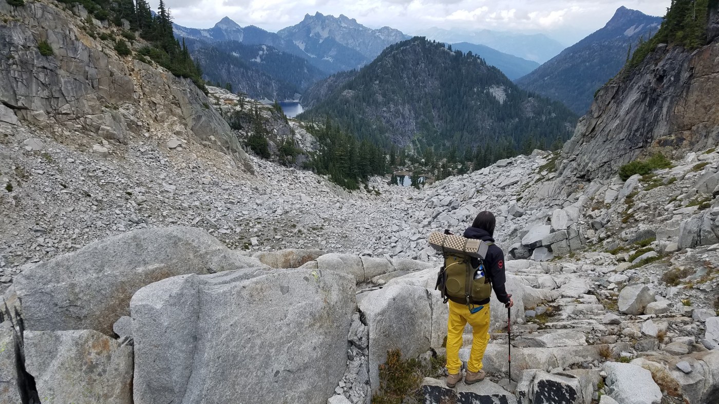
We started Friday morning at quarter-past nine. The sky was overcast and cool and there were few cars in the parking lot. The trail is excellently maintained up through the Necklace Valley and water is plentiful along its length. The first several miles are easy and meandering, but the steepness ramps up with the turn east up Necklace Creek. The sky began to clear as we climbed out of the forest, leaving the clearly marked trail behind and following cairns across boulder fields toward Tank Lakes.
We reached Tank Lake South at 4:45 and set up camp on the south side of the lake. This area is pure alpine bliss, and the view south across the Middle Snoqualmie Valley of Summit Chief Mountain and the Chimney Rocks is stunning. We shared the lake with two other parties, but campsites are plentiful. Used the final slivers of daylight to attempt to trace our route across the east flank of Iron Cap Mountain the following day.
Day 2:
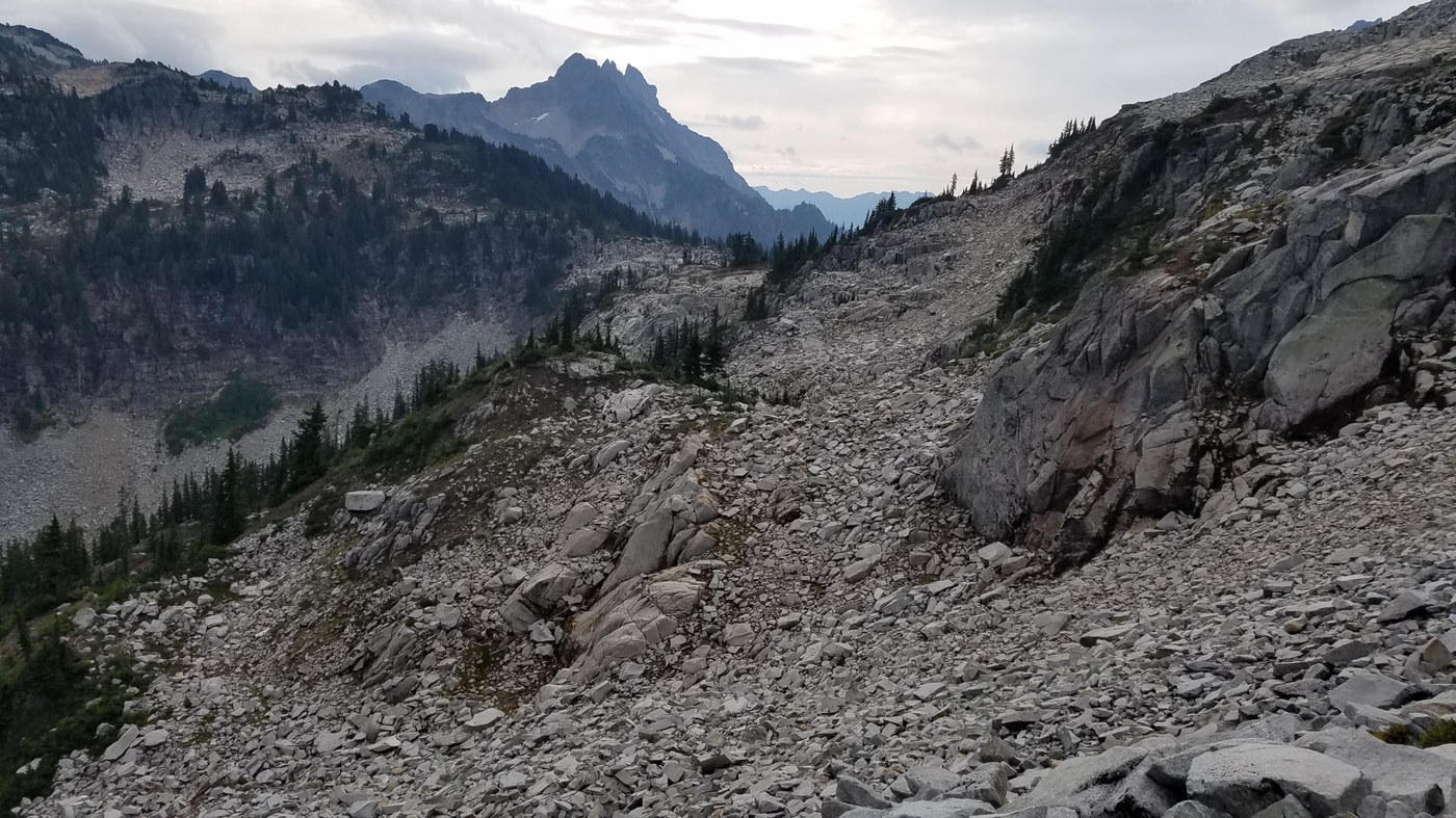
We'd been told by a couple backpackers coming in the opposite direction that the stretch between Chetwoot and Tank Lakes had taken them around seven hours, given the scrambling, gradient, and pathfinding difficulties. With rain forecasted for the afternoon, we made sure to get up and go in the morning as soon as it was light, hitting the trail just after 8 o'clock. From the valley below Iron Cap Gap to approximately halfway across the east face of Iron Cap Mountain, we saw no trail nor cairns. The CalTopo app proved to be invaluable on this day. We referred to it constantly to keep us on the optimal path as we zigzagged up and down around the mountain, avoiding cliffs and subsequent backtracking. The scrambling itself was very manageable, though we were frequently using all four limbs to clamber up and down rocks and ledges. We got to Iron Cap Lake around 11 am and had lunch. This was the only water source we came across until we got to Chetwoot Lake, so we were happy to have filled up our bottles fully at Tank Lake before we left.
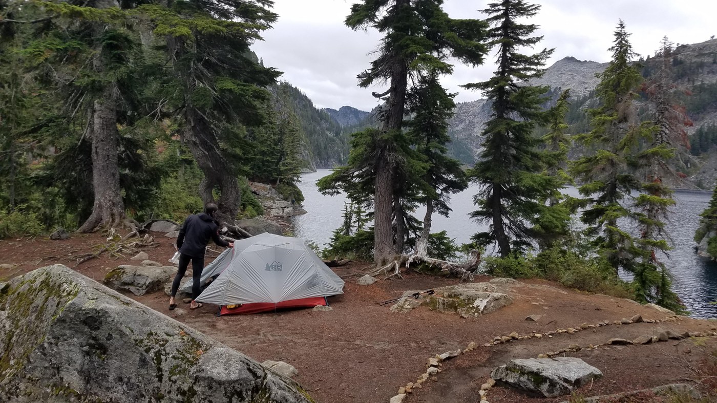
The section between Iron Cap Lake and Chetwoot was easier, and we arrived there sometime between 1 and 2 pm. This was where we had planned to camp, but we had so much daylight left that after an hour rest along the lakeshore, we decided to continue on and spend the night at Big Heart Lake instead. Just as we began hiking again, the rain started. The trudge up and down the deceptively challenging ridgeline between Big Heart and Angeline Lakes was somewhat miserable, but fortune was on our side again when the rain decided to stop just as we arrived at the Big Heart Lake campsites around 4:45. There were a couple other camping parties already set up around the lake. We were luckily able to set up our tent under a rain-free sky, but the rain returned soon enough, and there wasn't much more to do other than eat and sleep.
Day 3:
We had a relaxed morning, as we had gone further than we planned on Day 2. The hike from Big Heart out is 90% downhill and in excellent condition. We were grateful for the switchbacks after the near-vertical straight ups and downs of the prior day's route. Lots of lakes, lots of accessible water, and we were back at the trailhead before 2.
This is a great route, and I'd strongly recommend it to anyone with some backpacking experience and a decent GPS/pathfinding app.


Comments