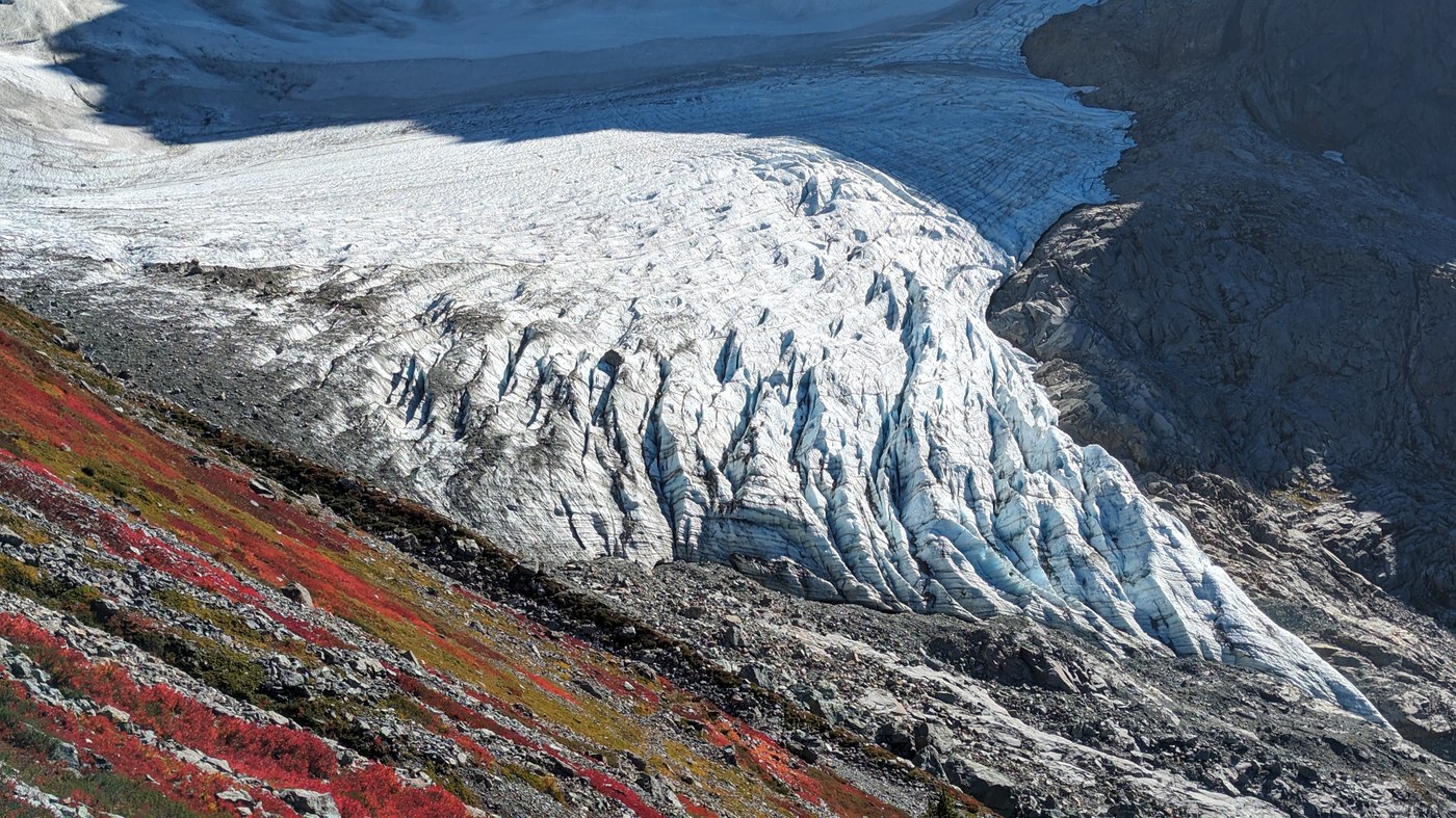
We hiked to the Lower Curtis Glacier via the Lake Ann trail. Beautiful sunny day with vibrant fall foliage!
We arrived around 9am and the main parking area was full; we parked with several other cars off the shoulder just up the road. WTA directions for Lake Ann aren't entirely accurate; the parking area is on the left if you are heading toward Artist Point, and slightly after the GPS coordinates linked in the description. There is a brown sign indicating that the trailhead is coming up, but no signage at the entrance to the parking area, nor at the trailhead to indicate which trail you're on (there is a signboard farther down the trail, out of sight from the trailhead).
The down-and-up nature of the Lake Ann trail is well documented, and that continues onward to the Curtis Glacier: spurring off from the lake area, you drop ~100ft, then begin climbing again. The trail toward the glacier starts out in comparable condition to the Lake Ann trail (i.e. pretty great), but gets rougher, getting narrower and steeper, with more tree-clambering and talus. There are great views of the lower glacier from the trail, but our goal was the terminus itself. There is a fork in the talus area (easy to miss); the right branch heads toward the lower glacier's terminus but quickly peters out. From there it's off-trail with some light scrambling and a few cairns. Be aware of potential hazards near the glacier, for example we noticed a boulder perched on the ice that looked ready to tumble down with just a bit more melting. Great views can be had from the rocks just above the terminus!
A friend sent me photos of this area from ~September 30 showing some new snow, but that was entirely melted away on our hike, except maybe a bit on the rock above the upper glacier. The berry bushes were blazing red!
Rough estimate stats - 11.25mi, 3055' total elevation gain. We did not drop into the Lake Ann basin; we had to backtrack slightly to find the spur route to the lower glacier; we wandered around by the glacier a bit.


Comments