Trip Report
East Fork Foss - Necklace Valley, Tank Lakes — Friday, Sep. 1, 2006
 Central Cascades > Stevens Pass - West

I never know if you are supposed to put trip date as the first day you start a trip, or the day you return. Oh well.
I got on the trail late, at about 12:20pm on Friday. This is one of the best trails I have been on lately. It starts in flat, deep forest. The trail bobs up and down 500 feet or so, but stays flat for about 5 miles. During this time you are in lush forest, cross small creeks, some thickly overgrown areas and some arid forest floor. A wonderful site along this trail are some of the old growth trees you can find, one that toppeled over was hollow inside and so large I could stand inside with room to spare! The trail along here is mainly in great shape, with some age starting to show in the rotting boardwalks in the marshy areas.
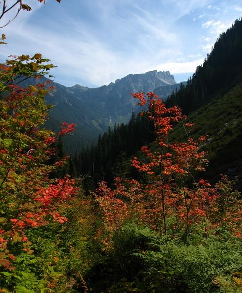
At about 5 miles you come to a river crossing over a long and stable log bridge. It is flattened on top and easy to cross. Follow the trail to another log bridge, much older, which leads to an old slide slope. Look for the cairns, but if none are found, head up to your right and you will run into the existing trail. Here you start to climb, and steep. I believe the books say about 2k feet in about 2 miles. It feels like it, but again, the beauty makes it bareable. Also, some of the scrub oak are changing color already, so you get a few short patches of beautiful color. By hitting this trail in the afternoon you also miss some of the sun, which helps to keep it cool.
Upon reaching the top, you will happen upon Jade Lake first. The trail is nice and skirts the narrow edge to another short climb into the Emerald Lake area. here you find quite a few campsites and blueberries. Continue on for Opal Lake. When the trail comes to a largeish junction, continue on for the trail towards Tank Lakes. If you are not up to the last climb, there are plenty of good spots here.
The trip up to Tank Lakes can be frustrating if the sun is setting and you are tired. Follow the water up into the canyon, staying to the right. Scramble through some boulders until you come to the top of the washout where it has cut through the sediment. To your right is a large boulder ridge. There are large cairns on top, get to the top and follow it up to a saddle that leads to the Tank Lakes, about 1000 feet above Opal Lake I believe.
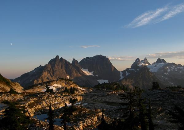
Once over that saddle, I was AMAZED at the views. Fabulous peaks, smoothed and creviced granite on a massive scale. Beautiful and empty! Seems not nearly as many people come up there. It has a different feel to it and there are endless opportunties for day hikes, scrambles, peaks or just exploring. It can get windy up there though, so bring the fly or a decent sleeping bag.
On hte whole, the trails have a few muddy spots, but not enough for me to flag it. Also, very few bugs on the entire trip. When there are (morn & even) they are mainly mosquitos that are repelled easily with DEET. If there is a breeze they stay away. There are some snow patches up top, but nothing posing an issue on any trails. Enjoyable and perfect for a 3 day, 2 night trip with a whole day in the middle for exploring.
More photos at: http://picasaweb.google.com/noel.hastings


Comments