Trip Report
Middle Fork Snoqualmie River — Friday, Aug. 17, 2007
 Snoqualmie Region > North Bend Area

I returned to Red Pass with the intent of further reconnaissance of the old Cascade Crest trail. The snow that was blocking safe access to this trail three weeks ago was completely melted out. Descending from Red Pass was straightforward, although I was briefly alarmed to hear rocks spontaneously falling from Lundin Peak above. They were small and none hit me...this time. Heading down, I was well aware of the “Grand Canyon syndrome” – aspiring to a destination downhill without due consideration of the return. In this case I was hoping to find exactly where the old Crest trail came out on the Middle Fork Trail, some 3500 feet below.
The downhill leg went easily but without much view owing to the low cloud cover. At the bottom I came up to Burntboot Creek and turned left (downstream) thinking I had yet to come upon the Middle Fork Trail. After a half mile I realized that was what I was walking on! I had given some consideration to making a loop down the Middle Fork to Rock Creek, then up and over Snow Lake and out to Alpental and back to the PCT. This seemed just too long and would not have saved much elevation gain, so I turned around and headed back.
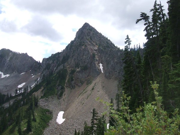
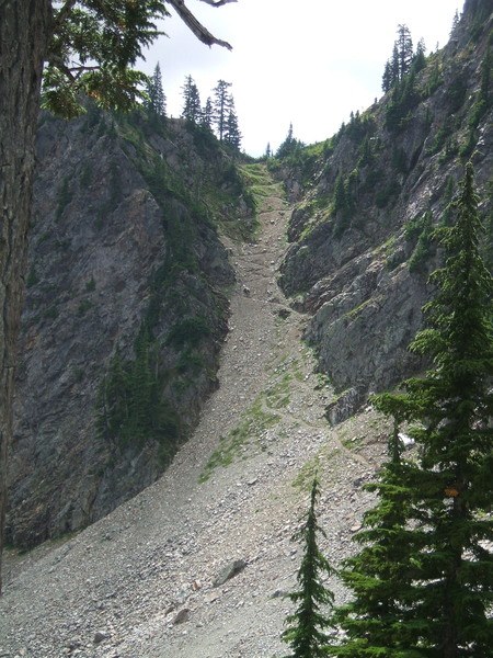
Finding the old Crest trail from the Middle Fork might be tricky. Where the Middle Fork Trail crosses Burntboot Creek (to get to Goldmeyer Hot Springs), don’t cross the creek. Stay on the south bank and follow an ambiguous tread upstream through a jumble of downed logs and brush. Within 50-100 yards the path turns away from the stream and immediately becomes clearly defined. For an abandoned trail the old trail is in great shape and delightful to walk on. It obviously gets little use, and there are sections where the tread is returning gently to the hillside, but it’s always easy to follow and someone has been cutting out blowdowns and keeping the trail clear. For a long while it switchbacks up a forested slope with some huge old-growth trees. There is a view of a nice waterfall on Goat Creek. Eventually the trail comes to a more defined ridgetop and there are views that get better as you get higher and into more alpine territory. The trail climbs at a steady uphill pace most of the way.
I must say that the return up to Red Pass was grueling, and I stopped often to pick berries and get a breather. At least the weather had cleared some so I could appreciate the views. I don’t plan to hike all the way down to the bottom again, but hiking part way down the ridge and back would be fine. Or one could just hike up from the Middle Fork, but now it would be a walk of almost 6 miles from Dingford Creek just to get to the start - and from there I’d estimate it’s 4 miles up to Red Pass.
Estimated 17 miles, 5800’ elevation gain (ouch). Lots of berries, just a slightly on the tart side of ripe.


Comments