Trip Report
Tahoma Creek, Pyramid Pk (MRNP) — Sunday, Sep. 2, 2007

Pyramid Peak had been on my hit list for a while. Its prominence on the ridgeline as viewable from Paradise practically demands that it be ascended.
I went in via the Tahoma Creek trail. The extra distance from road closure to trail start is minimal. This extra distance should not deter anyone; reports I saw of it being an extra 20min seemed about right. IMO not worth mountain bike for this distance, a lot of it is too sandy or rocky to ride anyways.
The sketchy parts at the beginning where the ""trail"" is briefly directly on the Tahoma Creek floodplain are currently well marked with survey tape (but before that there is also some tape out amidst the channels so don't just blindly head towards any tape you see; I think that's there for science or true surveying reasons). The devastation on the forest road and trail wreaked by the Tahoma here is just stunning. It is far more spectacular than what happened to the Glacier Basin trail on the White River side.
You are on far edge of floodplain for maybe 1/4 mile and then tape marks a way into the forest. 90% of the Tahoma trail is in perfectly fine shape. The 10% that isn't is clustered around washouts that are about 1.5 miles in. One bypass here involves a steep 100' up then down at the very crown of a steep washout that might give some the willies but the tread seemed to be holding well enough so far.
The suspension bridge is way cool and lived up to its advance billing. You are WAY above the creek. Acrophobes: you might want to take one of the other trails to Indian Henry's. What would they have to do to get the Wonderland around without this bridge?
Next part of trail pleasant cool and fascinating in first part climbing the not so old moraines. Emerges onto the slowly rounding top of Indian Henry's in classic fashion. Made it to Mirror Lake trail junct. in 2 hours and change. The end of officialness of the trail as it continues past Mirror Lake is nearly imperceptible, the krummholz is crowding a little but tread mostly fine for a long ways. Over a small saddle and through excellent rolling meadow and rising granite you go. Eventually things get more scramble trail like on a push up a grassy draw and then the final ridgeline is just a little airy but with decently established steps. Time to top 3:40 from car. Really quite direct access to a prominent summit, considering washed out road and ostensibly unofficial trails are majority of the route.
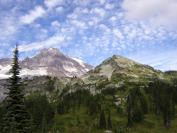
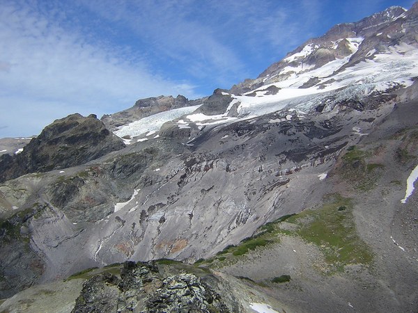
The summit view from Pyramid is superb. Up front view of Point Success and the Tahoma Glacier. Much rockier (well chossier actually) than a typical Rainier view from this side. Also nice views to Saint Andrews; now THAT is amazing territory. Even higher and meadows and pinnacles for miles. That'll be my next trip ... will take a lot more doing to get up there. And good view of the park below Pyramid Glacier and in Fishers Hornpipe headwaters, pretty waterfalls.
On the way down I dawdled mightily on the way back to Indian Henrys, and why not? No rush to be getting into the inevitable traffic jam. Explored some small tarns visible from Pyramid summit and checked out various bits of interesting geology. Lacked motivation to tack on Iron. During whole day I only saw two other parties and 2-3 solo hikers. The glare of sunlight off car hoods as seen in the Paradise lot from Pyramid summit told me that the masses were where they always are.


Comments