Trip Report
Middle Fork Snoqualmie River — Tuesday, Dec. 11, 2007
 Snoqualmie Region > North Bend Area

The Middle Fork trailhead is reached from I90 exit 34, some 12 miles along FS Road #56. This pot-holy road is currently not too bad, however suggest take it easy.
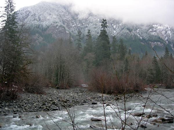
Trail begins at the bridge crossing; turning right will take you to Pratt River trail, our group turned left with great views of the craggy Garfield Mountain, currently flecked with snow.
Aside from a couple of downed young trees, this trail is in very good shape and showing signs of extensive recent maintenance. We ambled along this beautiful river for about 4 miles in misty, cloudy and rather chilly weather. With patchy snow/mud underfoot (gaiters are good),we turned around after a quick hot drink with lunch.
While returning to the trailhead, we heard rapid gunfire coming from a location across the river. The unexpected noise continued for probably a very uneasy 30 minutes.
Stats; around 8 miles RT with minimal gain. Maps, GT 174 and 175
Northwest forest Pass required


Comments