 Washington Trails
Association
Trails for everyone, forever
The benefits of our state's Department of Natural Resources lands go beyond what you can see on the surface | by Christina Hickman and Jessi Loerch
Oyster Dome. Tiger Mountain. Capitol State Forest. Mount Si. Mailbox Peak. Gothic Basin. Yacolt Burn. These very different places have one thing in common — they are all on land managed by the Washington State Department of Natural Resources (DNR), which manages millions of acres of state land for many uses, including recreation.
DNR land plays a vital role in our state for outdoor recreationists, all while funding public services that Washingtonians rely upon.
**Before heading out, check with DNR's website for the most up-to-date openings and closures.**

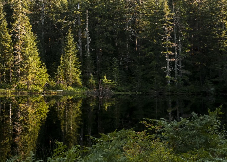
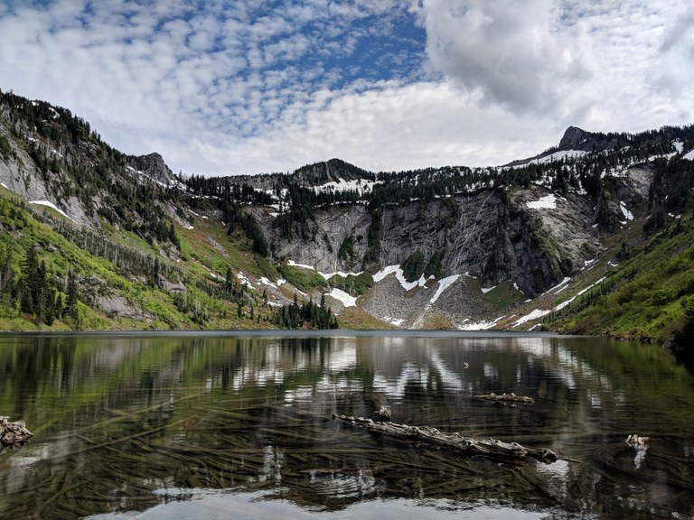
Ashland Lakes. Photo by Paul Woland.
The Department of Natural Resources is a state agency led by the commissioner of public lands, which is an elected position. Hilary Franz has been the commissioner since 2016.
DNR was created by the state legislature in 1957 to manage land that had been given to the state by the federal government. When those lands were transferred to the state from the federal government, in the late 19th century, the state was mandated to use them to provide profit to build public schools, among other public benefits. Today, the state manages 3 million acres of these lands, known as state trust lands, also known as working forests. The lands are harvested for timber or other products and sometimes leased out for uses such as agriculture or wind farms. Collectively, those lands bring in more than $200 million for schools and other public services.
Over time, DNR has also acquired different land from a variety of sources. Some of that land must be managed for profit, while other land is managed to protect ecosystems or provide for recreation. The agency manages a total of 5.6 million acres of land.

On trail, it’s hard to see the bigger picture of the benefits that DNR provides to hikers, the state and the environment. But they’re there, and if you know what to look for, you’ll start to see them.
DNR oversees 5.6 million acres of land across the state, from marine areas to mountains. Even with the millions of acres it takes care of, DNR is perhaps best known for its work to prevent and fight wildfires across the state. Just as important is the agency’s work to manage working forests and Natural Resource Conservation Areas. Working forests are areas that have been set aside for harvesting timber or other products. DNR is mandated to manage those lands to provide funding for public schools and other public services. Natural Resource Conservation Areas (NRCA), on the other hand, are managed to protect natural ecosystems. NRCAs preserve some of the most beautiful areas of our state — if you’ve hiked Mount Si or Gothic Basin, you’ve been in a NRCA.
DNR lands — including some that will be harvested — provide places for hikers to explore across the state. Though logging can be divisive and an eye sore, the revenue helps fund schools as well as keep roads to trailheads open, among other benefits.
Land managed as a working forest is protected from development — it can’t be turned into something like a subdivision that would make the land inaccessible for recreation forever.

Vibrant hues from Oyster Dome. Photo by Myroslava Prykhodko.
“We manage lands in perpetuity,” said Tim Stapleton, DNR’s acting northwest region manager and former statewide recreation manager. “Our mission ... doesn’t have an end date. It protects these lands from development and other things that can encroach upon these natural habitats into the future.”
Working forests also provide access to areas that might otherwise be hard to get to.
“What’s great about the nexus between working forests and recreation is that the forest roads that access the most iconic locations on DNR land are built and maintained by working forests,” Stapleton said. “So not only do these working forests generate revenue for the trust beneficiaries for things like schools and hospitals but they also provide access to these amazing backcountry experiences on DNR land that otherwise there’s not a funding mechanism to support and access.”
This includes roads to some popular hikes. The trailhead for Tiger Summit (off of Highway 18 near Issaquah), provides access to trails for hikers, equestrians and mountain bikers. It is on a road that was built to provide access to a working forest. Another example is the 110,000-acre Capitol State Forest, one of DNR’s highest timberproducing areas and also a popular spot for recreation. Roads that provide logging access there do double duty to get hikers to trailheads.

DNR manages Natural Resource Conservation Areas to protect native ecosystems, such as rare white-oak woodlands and old-growth forests, and preserve habitat for sensitive plants and animals, such as marbled murrelets and spotted owls. Like working forests, the lands are managed forever by DNR, and won’t be developed. Unlike working forests, they don’t have to provide direct income to the state; they are providing something else, a legacy of unique natural treasures. More than 118,700 acres are conserved in 36 Washington state NRCAs. Hikers today — and in the future — can enjoy spending time in NRCAs that are home to some of the most iconic hikes in the state.
“NRCAs offer the public a glimpse into — and a chance to learn about — many of the unique ecosystems that exist in Washington, whether that means learning about bats at Woodard Bay NRCA, hiking wilderness trails for amazing vistas at Morning Star NRCA, or spotting a mountain goat on the cliffs in the Mount Si NRCA,” said Laurie Benson, South Puget Sound assistant region manager for DNR.
Because DNR manages so much land across the state, it is well positioned to help build connections across ecosystems.
Hilary Franz, the commissioner of public lands, has led the agency since she was elected in 2016. Franz is excited about the potential DNR has to connect the state.
“A lot of our DNR land abuts and is adjacent to federal land and in some cases also state parks. Where I’m really wanting us to go as a state is really thinking at that larger scale,” she said.
Echoing WTA’s goals of connecting hikers to the lands they love, she asks, “How do we create true connectivity — north to south, east to west, across the diverse landowners and landscapes. … Baker to Bellingham is a perfect example of this.”

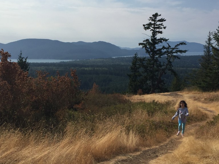
Big sky views near Loomis. Photo by Sydney Leorna.
The Baker to Bellingham Non-Motorized Recreation Plan guides sustainable recreation experiences in Whatcom County. It provides landscape connections from Mount Baker all the way to the population center in Bellingham. Thousands of hikers, equestrians, mountain bikers and other outdoor enthusiasts enjoy the trails in Whatcom County each year.
Arlen Bogaards, WTA’s northwest regional manager, served on the public advisory committee. The plan, which WTA helped develop, and encouraged DNR to support, envisions a trails system providing ample new trail mileage for hiking, biking and horseback riding while preventing user conflict.
“That kind of planning and vision and implementation is something I think will be transformative to Washington state,” Franz said. “I’m not sure if there’s another state that has truly created the connectivity of landscapes in all directions. I think that’s something our state can lead on.”
WTA agrees, and we’re excited by DNR’s approach to collaboration and recreation. Our own Trails Forever initiative is all about building abundant networks of trails across the state, from backyards to the backcountry. When land managers, partner organizations and the community come together and look at the big picture, we will be able to create a diverse system of trails that connect communities and ensure trails for everyone, forever.

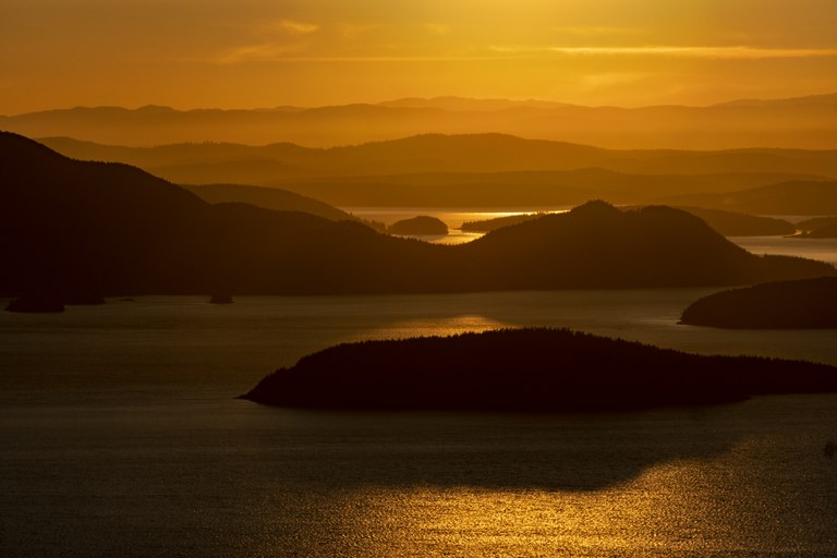
The peaceful Puget Sound backdrop at Guemes Island. Photo by Julia Duin.
Different public lands are managed for different purposes. State trust lands — or “working forests” — are intended to raise money for public facilities and structures. Sometimes, however, trust lands are so important for recreation, wildlife habitat protection or conservation that the lands are not well-suited to activities, such as logging. In cases such as these, the Trust Land Transfer program allows for the designation of the area to be changed. The land can also be transferred to another public agency that will manage and protect it for public use and enjoyment.
To ensure that DNR continues to have land to manage for revenue, the trust land can be sold — in which case the profits are used to purchase additional income-producing lands — or exchanged. The state legislature can provide funding as well. A recent example of a Trust Land Transfer is the Blanchard State Forest — recently renamed the Harriet Spanel Forest — near Bellingham. Many groups came together to support the effort to protect a portion of the forest near some well-traveled trails in the forest. Conservation Northwest and Skagit Land Trust, among others including WTA, asked the state legislature to allocate money to preserve the 1,600 acres in the core of the forest. The 2018 Capital Budget included full funding to preserve the Blanchard core as a new conservation area, forever protecting the iconic trails, forests and habitat around Oyster Dome, Lily Lake and Samish Overlook.

Hilary Franz, current Washington State Commissioner of Public Lands. Photo by Britt Lê.
Favorite DNR hikes: Mount Si. Probably because I’ve gone there so many times. When I first moved here, I did that hike. I was young, 20-something, I was afraid of heights and I have a photo of me just barely on the edge. I’ve done it with my kids. It’s so familiar but it’s also convenient. Oyster Dome on Blanchard Mountain. So many people from different backgrounds came together to protect this area and find a solution while making sure that schools still had their funding and resources. We need to value, support and appreciate (that sort of teamwork) way more when it happens so we can encourage even more people to do the same.
Favorite trail snack: It has to have chocolate in it. I’m a huge fan of granola bars. And apples. No oranges or bananas because peels are complicated.
Raisins in trail mix? Yay? Nay?:The golden ones are better. I will take them because they give you a little bit of juiciness with the saltiness and the sugar.
Her 11th essential: Less is better — that’s why a granola bar is more my friend than a bag of trail mix. I hate hiking with things that weigh me down.