

This is a connector trail that goes from the west side of the 25-mile Tarbell Trail Loop to the east side and one of the latest of the Department of National Resources (DNR) trail projects in the historic Yacolt Burn State Forest of southwest Washington. As a connector trail, Appaloosa can also be used to make intermediate-length day hikes.
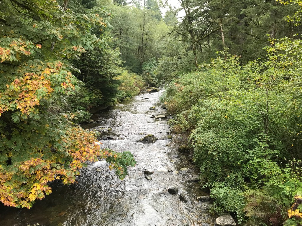
The trail begins by crossing Rock Creek on the first of three bridges. A mile further is the confluence of Rock Creek and Coyote Creek and a second creek crossing. From here the trail generally follows the south side of Coyote Creek through a forest, a half mile along a flat, old logging road, then bridges the stream a third time and follows the stream bank.
1.7 miles from the trailhead, the trail surfaces on another logging road. It's steep, but it's just 160 paces before the trail returns to a more forgiving grade through newly planted forest and then into an intermediate growth forest.
One more mile of hiking uphill through increasingly mature forest and you're at a junction with the Tarbell trail. Along the way the forest changes from deciduous riparian to a mature coniferous one interspersed with tree plantations in various stages of growth.
You could call it a day at the Tarbell junction, but it's just 0.3 miles down a gentle grade to the creek’s origin at Hidden Falls, a lovely spot to stop for a rest on a bench and enjoy the tall, plunging cascade and lush green understory before heading back the way you came.
History
The first Appaloosa Trail was created by a riding club and informally developed sometime in the last century. Now a new and well-constructed route, the 3-mile revised Appaloosa Trail originates at Rock Creek Campground and wends its way to Hidden Falls. This trail was constructed by the Department of Natural Resources with participation by Backcountry Horsemen, Washington Trails Association, and The Washington Conservation Corps.

 Trailhead


