How to Research Lesser-Traveled Trails
It’s a frustrating feeling. After hours of enthusiastic searching on the WTA Hiking Guide, you land on the perfect weekend hike. But … the most recent trip report is from a year ago.
Do you risk it and take a 3-hour drive into unseen conditions? Or call it off and opt for a more familiar trail instead?
It may feel daunting to take your first foray onto the path less traveled, but we have some tips for how to sleuth out trail conditions in situations like this.

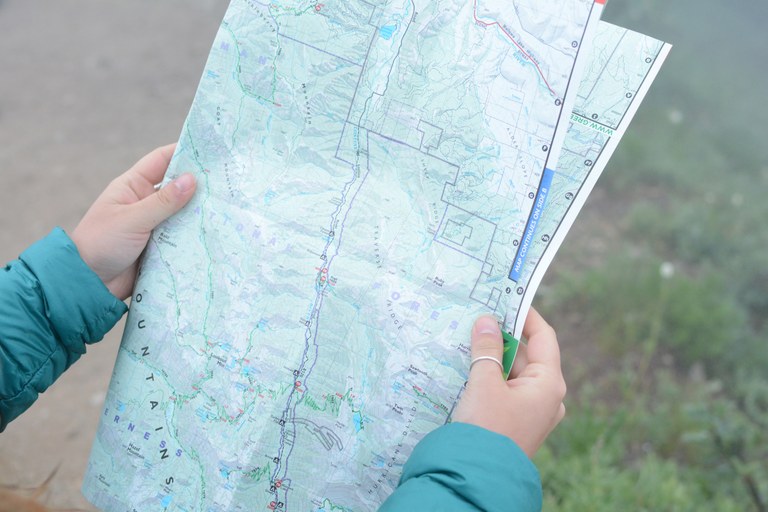
Detailed trail maps are key to effective hike planning. Maps show the elevation of the trail and if slopes are north facing, where snow and ice are more likely to linger. Details like this can help you predict what conditions to expect. Photo by Erika Haugen-Goodman.
Dig into trailhead access
Trailheads can become closed or inaccessible for a huge number of reasons — washouts, downed trees, wildfires, seasonal wildlife closures. If you notice a drop-off in recent trip reports, a bad road may be to blame. (Read: How to drive on forest roads.) Generally, the U.S. Forest Service and National Park Service maintain an updated list of the current status of roads on their land, as well as the date of recent maintenance.
Check the land manager’s website or call them if you’re unsure. WTA also updates the Hiking Guide with seasonal fire closures and provides information about fire damage from previous years.
Research historic trip reports
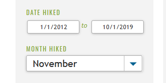
Many trails in the WTA Hiking Guide have trip reports dating back to the early 2000s — making for an unbeatable planning tool. If you notice your hike is lacking current reports, try searching trip reports from a certain month or date range in years past. Previous years’ conditions can be indicative of what you might experience at the same time of year.
Consult snow maps
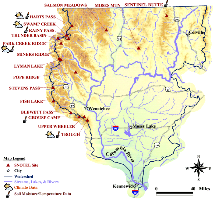
The age-old question of high-elevation hikes in Washington: Will there be snow? Without the help of firsthand accounts, it can be hard to know the current state of a trail. Thankfully, you can find vital information like snow depth maps, daily snowfall, forecasted snow melt and more online.

An example of the snow monitoring sites found in one region of the state. Compare the information nearest your trail with the elevation data found on each hiking guide entry.
By comparing maps with WTA hiking guide information such as trailhead coordinates and highest elevation, hikers can get a more accurate feel for what may lie ahead.
Share back with your own report
If and when you decide to take the plunge and head to a less-reported trail, share it with the community! Did you find an impassable washout and thick overgrowth? Or did you have the time of your life in a new area? Whether or not you completed your hike (or even made it to the trailhead), a trip report with current conditions can help future hikers make informed decisions about where to adventure.
Read: Better data, better trails. How trip reports do more than just help hikers.

