
Cutthroat Pass is a stunner no matter which way you access it. This way, you'll enjoy a wider, more well-maintained trail, and you're more likely to share it with Pacific Crest Trail thru-hikers.
From the trailhead just off Highway 20, set out on wide, moderately steep trail. At first, you're hiking through a dark, deep forest, hopping creeks and listening to waterfalls. The first mile and a half is crossed by a handful of small creeks, but even in late fall these can run high. It's a good idea to have hiking poles with you.
It's not until 1.5 miles in that you cross your biggest creek -- Porcupine Creek. Look for the safest way across and then continue on, now beginning to head more directly towards the pass. As you climb, the forest thins, and you can see across the valley to craggy mountain spires. At the first open point, turn around and gaze across the highway. Those big, blocky peaks are Black and Fisher, as well as several others.
Continue on after gazing at the stunning scenery. Cross the valley to it's south side, and begin climbing switchbacks. After a handful of these, the trail traverses back across the valley to the north and resumes switchbacking, though the grade has lessened.
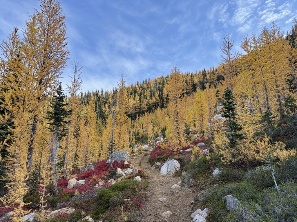
You're approaching the pass, but it'll take a final push through some of the most scenic land the state has to offer. The wide open valley is dotted with granite boulders, spots of huckleberry bushes, and the dark green heather indicative of this high alpine environment.
In the pass itself, you're spoiled for choices of lunch spot. Everywhere you turn offers up gorgeous views, including down: that little blue pool in the valley below is Cutthroat Lake, another way to access this grandiose area. Pick a granite slab, plop down, and relish what you worked so hard to enjoy.
Cutthroat Pass via the Pacific Crest Trail

-
 Length
- 10.0 miles, roundtrip
-
 Elevation Gain
- 2,000 feet
-
 Highest Point
- 6,800 feet
Highway 20 is closed between the Ross Dam trailhead (milepost 134) and Silver Star gate (milepost 171) for the winter season.
Cutthroat Pass is a stunner no matter which way you access it. This way, you'll enjoy a wider, more well-maintained trail, and you're more likely to share it with Pacific Crest Trail thru-hikers.
Continue reading
Hiking Cutthroat Pass via the Pacific Crest Trail

WTA worked here in 2004 and 2003!
Map & Directions
 Trailhead
Before You Go
Highway 20 is closed between the Ross Dam trailhead (milepost 134) and Silver Star gate (milepost 171) for the winter season.
Parking Pass/Entry Fee
Northwest Forest PassWTA Pro Tip: Save a copy of our directions before you leave! App-based driving directions aren't always accurate and data connections may be unreliable as you drive to the trailhead.


