
A nice creekside hike within the Olympics with an option to check out Marymere Falls. This hike has all types of old growth and lush vegetation.
Most hikers follow Barnes Creek towards Lake Crescent Lodge, but at the junction you will turn left to follow the creek. Soon enough you will come to another junction where you have the option to check out the heavily visited Marymere Falls. This is a popular portion of the trail where most people will be heading. Take a right to stop and check it out if you are interested, otherwise continue onward for Barnes Creek.
Continuing onward, the trail has a much different feeling, as it quickly becomes less crowded.
The trail rolls mostly up and rarely down over the next 5.5 miles. Despite being unmaintained, it is in relatively good condition.
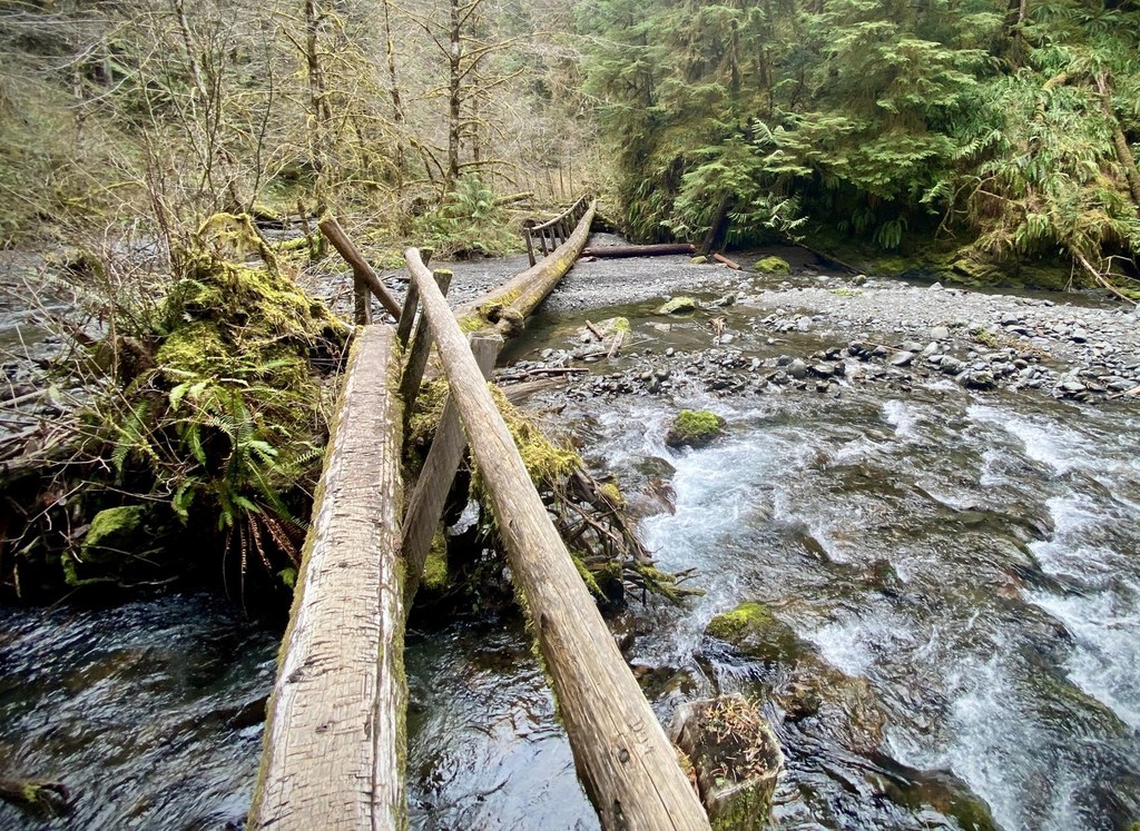
The trail fords four creeks and numerous seeps. While the first is unnamed, the following three creeks are Lizard Head Creek, Happy Lake Creek, and Barnes Creek. The mossy trail winds its way through old growth Douglas fir and western hemlock forests. Younger stands show evidence of the valley's fire history.
In spring, watch out for bunchberry blooms and starflowers peppering the mossy forest floor. In summer, pipsissewa bloom profusely next to wild huckleberries and blueberries. In the fall, creekside vine maples paint ochre hues into the verdant landscape.
For those wishing to camp, potential sites are just below the start of this trail at Dismal Draw, 3.5 miles up lower Barnes Creek and next to Happy Lake Creek, 2.9 miles past the Aurora Divide intersection.
After 5.2 miles and 3300 feet of climbing, the trail peters out in a dark stand of stunted western hemlock on the ridge top. Just before reaching this terminus, the trail forks, leading steeply up to the left. Take this trail another half mile up to the top of Lookout Dome.
The trail winds around the backside and up to the top of the dome, where the intrepid hiker can enjoy cliffside views of the Hughes Creek valley sprawling below. Baldy Ridge extends rocky and cliff-faced to the North, the Elwha River meanders far below, and behind, to the West, one can see the Barnes Creek watershed draining down toward a glimpse of Lake Crescent through the trees.
It's possible to day hike this trail from Storm King Ranger station to the top and back but, at around 20 miles round trip, this trail is much more doable as an overnight backpacking trip.
Barnes Creek

-
 Length
- 10.0 miles, roundtrip
-
 Elevation Gain
- 3,300 feet
-
 Highest Point
- 5,090 feet
A nice creekside hike within the Olympics with the option to check out Marymere Falls on the hike. This hike has all types of old growth and lush vegetation.
Continue reading
Hiking Barnes Creek

WTA worked here in 2020, 2018, 2017 and 2008!
Map & Directions
 Trailhead
Before You Go
Parking Pass/Entry Fee
National Park PassWTA Pro Tip: Save a copy of our directions before you leave! App-based driving directions aren't always accurate and data connections may be unreliable as you drive to the trailhead.
Getting There
From Port Angeles continue west on US 101 for 20 miles at to Barnes Point at milepost 228 turn right at a sign titled "Lake Crescent Lodge and Marymere Falls." You will shortly come on a stop sign where you will turn right and continue to parking area. The trail begins on the Marymere Falls Nature Trail.


