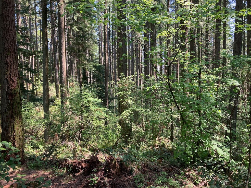
You are here: Home Find a Hike Hiking Guide Clay Pit Road

Clay Pit Road

Improve or add to this guidebook entry

Recent Trip Reports

Hiked here recently? Submit a trip report!
There are 10 trip reports for this hike. See all trip reports for this hike.
Old Man Trail, Clay Pit Road, By Pass Trial, Nike Horse Trail, Fred's Railroad — Jun 02, 2010 — Alpine Art
Day hike
Features: Wildflowers blooming
Issues: Water on trail
Expand report text Hide report text
Wet, Rainy and Sunny but no significant wind disruptions on this short walk (about 1.5 miles by my e...
Wet, Rainy and Sunny but no significant wind disruptions on this short walk (about 1.5 miles by my estimation). The trails were quite waterlogged but not overly muddy, several spots had 6 inch water "holes" or puddles that covered the trails, these will likely drain as weather improves to more normal levels.

Flowers such as phlox were out and the whole park is in the midst of spring with green trees and shrubs everywhere. Other than the rain and water holes a nice walk.
Read full report
Old Man Trail, Cave Hole, Clay Pit Road, Klondike Swamp, Cougar Pass, Tibbett's Marsh, Mine Shaft Trail, East Fork, Fred's Railroad, By Pass Trial, Coyote — May 02, 2010 — Alpine Art
Day hike
Issues: Mudholes
Expand report text Hide report text
A lot of trails for a 4 mile loop (approximate mileage) in Cougar Mt. Park, three of us, Alpine Art,...
A lot of trails for a 4 mile loop (approximate mileage) in Cougar Mt. Park, three of us, Alpine Art, Loren and Joani started from Sky Country Trail Head on a pleasant walk on trails and the Clay Pit Road. In general the trails are a bit muddy after recent rains but for most of our hike we had only drizzle if with mud holes. The East Fork trail was quite muddy at times but this is not unusual for this trail. My only misdirection on the hike was a short trip up Coyote Creek Trail rather than hiking Clay Pit Road to Klondike Swamp Trail.

Other than the mud the walk was great. Lots of dogs, runners and others out prior to the predicted arrival of rain in the afternoon.
Read full report
Anti-Aircraft Peak, Clay Pit Road, Klondike Swamp, Lost Beagle, Anti-Aircraft Ridge, Cougar Pass — Mar 06, 2010 — mhodson87
Day hike
Expand report text Hide report text
Took the directions from this page and did the hike. I was expecting it to be tougher than it actual...
Took the directions from this page and did the hike. I was expecting it to be tougher than it actually was. The most difficult part was the ascent of Lost Beagle Trail, I took one break and a sip of water (and I'm relatively out of shape). If nothing else its a great nature hike, good for inexperienced hikers. Most of the other people on the trail were joggers.

I think the "million dollar view" is an ironic name. I did not find any such view, even when I crossed into Radar Park (there is an entrance at the top of lost beagle trail) and walked to a bench. Maybe I just wasn't looking hard enough.

In all it took me about 1.5 hours to cover the whole thing. Fun hike and great forest scenery.
Read full report
Old Man Trail, By Pass Trial, Klondike Swamp, Cougar Pass, Tibbett's Marsh, Anti-Aircraft Ridge, Clay Pit Road — Oct 06, 2009 — Alpine Art
Day hike
Expand report text Hide report text
A short walk with moderate elevation gain on a beautiful fall day. The trails were all in good shap...
A short walk with moderate elevation gain on a beautiful fall day. The trails were all in good shape and the 4 miles of trail took about 1.5 hours to cover. I saw several folks on the walk and one black bear near junction with the By Pass Trail on my return. A man with a dog pointed out the young bear and I avoided the area the bear retreated into.

The man said he had seen other bears in the area over the past few weeks so some caution is advised.
Read full report with photos
Old Man Trail, Cougar Pass, East Fork, Fred's Railroad, Clay Pit Road, By Pass Trial, Nike Horse Trail, Mine Shaft Trail — Jan 13, 2009 — Alpine Art
Day hike
Issues: Mudholes | Water on trail
Expand report text Hide report text
This was a short loop and reconnaissance hike to see the condition of trails after a week of warmer ...
This was a short loop and reconnaissance hike to see the condition of trails after a week of warmer weather a melting.

In early January all of the trails in the area had snow, ice and slush present. Snow was hard to find on this date but mud, water and general muck were on most of the trails. A WTA party was working on the Mine Shaft Trail raising the bed in places and adding water drainage. The East Fork Trail is in need of work including better drainage - water was running down about 1/3 of the trail bed.

The other trails were in better shape but muddy due to the recent snow. Saw deer and bear tracks in the mud.
Read full report
Location
Clay Pit Road (#COUGAR-C1)
Issaquah Alps -- Cougar Mountain

Improve or add to this guidebook entry

Map it
Red MarkerClay Pit Road
47.5301166 -122.1029636
(47.5301, -122.1030) Open in new window
Document Actions
  • Email this page
  • Print this
  • Share

Mountaineers three booksSelect content from The Mountaineers Books' guidebooks is featured in this Hiking Guide. Sales of the books from this website help protect and maintain trails.

> Shop Now

More hikes » Hike of the Week
Ingalls Creek

Ingalls Creek

Central Cascades

This trail is a true springtime gem for hikers and backpackers. Walk beside a raging whitewater creek swollen with snowmelt, enjoy the blooms of wildflowers and gaze up at the Stuart range.

Get Trail News

Subscribe to our free email newsletter for hiking news, events, gear reviews and more.

What's Happening
Hike the State Jun 06, 2012 It's like speed dating, for trails. 7 Regions, 7 Experts, 7 Minutes....Go!
More »