

Humpback Mountain is easily visible from I-90, but rarely visited due to the lack of a maintained trail. Nonetheless, it's a worthy destination to stay out of the sun or rain. The trail starts at a gated road FS road 5510-120. (There are often cars parked outside the gate, but they are usually gem hunters. There are multiple claims in this area, so don't dig unless you have permission.)
The trail follows the abandoned road, gaining 250 feet in 0.6 of a mile to the shoulder of the mountain. Along the way, pass by an old quarry and consider bringing a garbage bag to clean up after others.
Just past the shoulder, find the trail that climbs 500 feet in a quarter mile to intersect with FS road 5510-110. The trail continues on the other side of the road and enters new growth forest. The way here is easy to follow, but dark even on sunny days. In a quarter mile, the forest abruptly changes to second growth, but the slope doesn't ease.
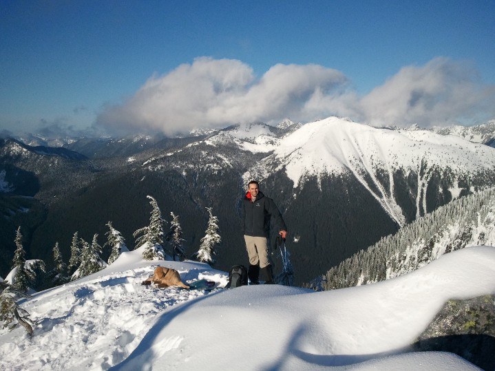
The trail continues its steady climb through the trees until 1.6 miles where the southwest slope becomes a huge rock field. The trail only skirts the rocks until gaining the summit ridge. The last tenth of a mile is a scramble over huge boulders with stunning views south to Mount Rainier, north to the Alpine Lakes, and east to Annette Lake and Silver Peak.
 Trailhead


