

The flat terrain of this wide valley east of Snoqualmie Pass is the perfect place to practice snowshoeing with kids or first-timers. This is an area popular with cross-country skiers, and you may spot beaver dams and other winter wildlife. From Mardee Lake to looming Kendall Peak before you, this is premiere terrain for winter enthusiasts.
For a shorter outing, take a turn around Gold Creek Pond. A one-mile, paved trail in the summer, this one is great for part of a day or with a hiking group that may not want to venture deep into the surrounding forest. Plus, it features stunning views of the Central Cascades, and a lovely flat pond (but don't venture out on it!)
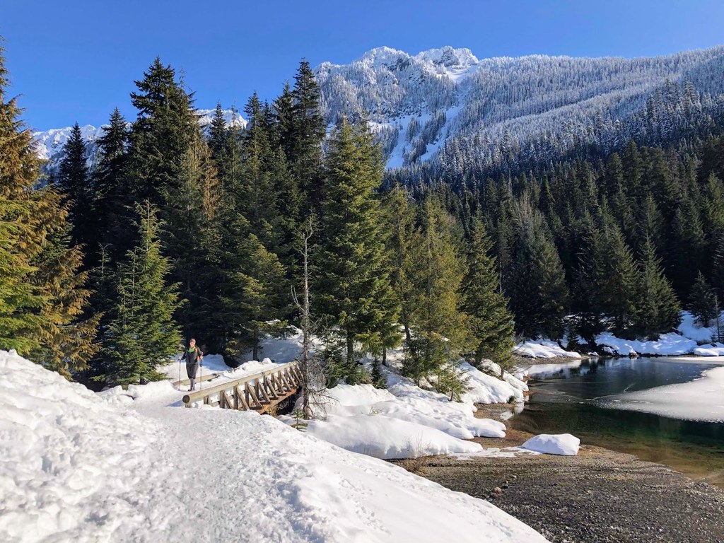
If you're looking for a little further exploration, head back into the forest on the east side of the lake, accessed via a small trail that branches off the Gold Creek Pond loop. This road is also used by locals for access to homes, so please stay on the road and respect private property signage. Hike as far back as you are comfortable (2 miles from the trailhead is a good turnaround point, and a nice view of the valley). The Lower Gold Creek Basin narrows to a tight valley where avalanches are prone, so be confident in your risk evaluation before heading too far back.
Outside of the winter season, the Gold Creek Pond trailhead requires Northwest Forest passes instead of Sno-Park permits, and is a great short loop day hike around the pond or a much longer hike to Alaska Lake.
WTA Pro Tip: For another trip to consider if you've never put on snowshoes, try the ranger-led walks from Snoqualmie Pass. The Forest Service guides trips for a $10 suggested donation, including snowshoes. Call the Snoqualmie Pass Visitor Center for more information.
 Trailhead


