

The Craters trail encompasses several different craters, and in spring, flora blooms clear skies make the whole area delightful. If you embark on a counter-clockwise route, there's a short uphill jaunt, but either direction offers hikers a nice hour-long walk if stopping to take photos.
The trail is less than two miles but can take a long time owing to the uniqueness of the area. It isn't often one can get so close to something as dramatic as this.
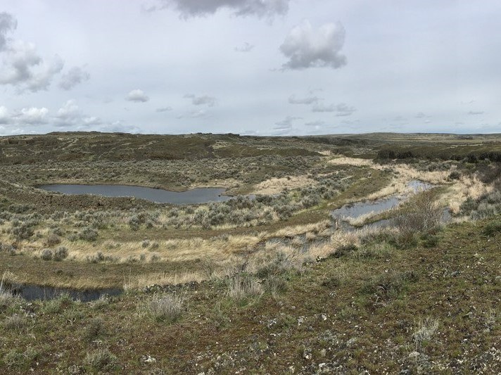
The highlight of the area is Amphitheatre Crater. Dropping down into a basin, you'll encounter a small lake with concentric fins of rock ringing around the pool. Impressive for adults and children alike.
There are no water sources, so bring your own. Better yet, finish the trip with lunch back in town at the Odessa Drive-In.
WTA Pro Tip: Check out the Cache Crater Overlook across the road from Odessa Craters for even more cool geological marvels.
 Trailhead


