

The Packwood Lake Trail offers a perfect start to the spring hiking season — deep forests, a calm lake, high peaks and spring wildflowers. And with popular camping and fishing spots, and leashed dogs allowed, you have some of the best hiking elements the Pacific Northwest has to offer.
From the trailhead on Forest Road 1260, start on the Packwood Lake trail (#78) and follow the gentle path as it winds 4 miles through lush old-growth forest within the Goat Rocks Wilderness. Views are limited until the trail begins to approach the lake. Shift your gaze upward to catch glimpses of the jagged Goat Rocks, Mount Rainier and Johnson Peak.
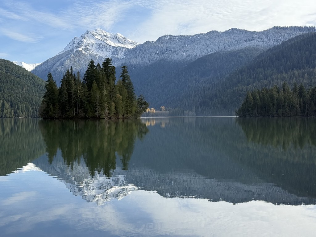
The trail leaves the tranquil forest and heads around the lake, passing an old ranger station at about 4.6 miles. There’s plenty to look at once you reach the lake, including a small island in the middle of the water, wildlife and the historic guard station (circa 1910). Cross the wooden bridge over Lake Creek to the winding trail connecting several campgrounds along the north side of the lake. The backcountry permit box is about a mile from the bridge along this trail. From this point, make sure to enjoy the view before turning back.
Backpackers and strong hikers can continue on to connect with trails to Mosquito Lake and Lost Lake. As is the case with most hikes in our area, the best views are seen on clear days when the mountains reflect off the water. But don’t let spring’s overcast weather hold you back! Starting in May, the forest floor showcases a colorful display of wildflowers. The blooming varieties change as the season progresses, offering bright splashes of color amongst the lush green foliage.
WTA Pro Tip: Commonly seen wildflowers include bear grass, candyflower, flowering currant, pinedrops, salmonberry, vanilla-leaf and white anemone.

 Trailhead


