

Enter a world of lush green under a towering rainforest canopy of Sitka spruce and western hemlocks. This mossy loop meanders through a boardwalked bog, past crashing creeks and the shore of Lake Quinault, returning via the shorter interpretive loop. This system of interconnecting trails provides you with options to lengthen or shorten your hike.
Begin on the Quinault Rainforest Nature Loop Trail from the parking lot for less than a quarter-mile and continue left onto Quinault Loop Trail 854. From here, gradually ascend and cross Willaby Creek, passing the junction for the Willaby Creek Trail on your right. At 1.5 miles, hike past skunk cabbages and ferns in the Cedar Bog. Benches dot the sides of the trail, where you can pause to take in the sounds of birds and other critters here, though be aware that bugs are plentiful in early summer.
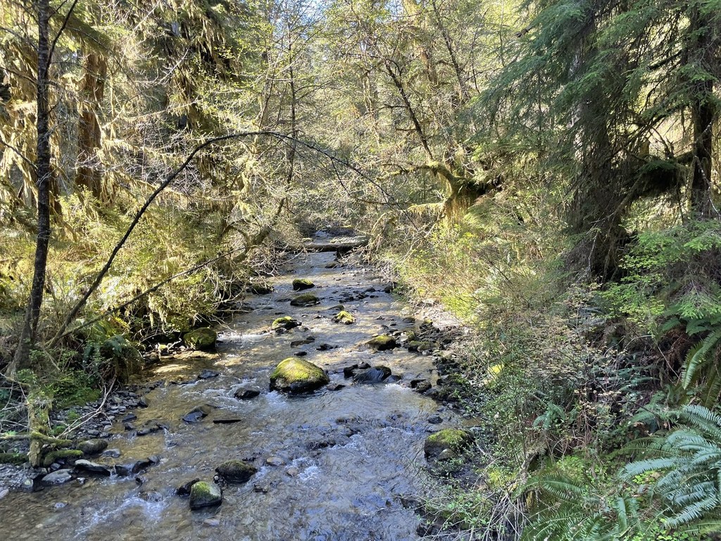
Hiking onward, cross the bridge over Falls Creek and continue past the Lodge Trail junction on your left. The route ascends as you begin to see more creeks on the way to Cascade Falls at 2.2 miles. After the falls, at the next junction with the Gatton Creek Falls Trail, you’ll go left to stay on the Quinault Loop Trail. After rolling up-and-down slightly, you’ll eventually descend making your way down towards South Shore Road.
Cross South Shore Road and in the direction of the Falls Creek Campground, where you will skirt campsites along the creek (this is to the northeast of the parking area for the Quinault Ranger Station). As you emerge from the trees near the campground, the trail parallels the shoreline of Lake Quinault and passes the historic Quinault Lodge. In the early evening, the beach makes for a beautiful spot to take in the sunset.
For the last mile, the trail hugs the edge of the lake past private docks towards Willaby Campground. Pass through the campground, where the trail resumes after 0.2 miles. Hiking under South Shore Road, you’ll pass a couple of small waterfalls and rejoin the Rainforest Nature Loop Trail which leads back to the trailhead.

 Trailhead


