
The Indian Island trail is divided into three segments which are given the names Portage, Lagoon, and Isthmus. The Portage Trail connects the two main trailheads and parallels the man-made canal which severed Indian Island from the Olympic Peninsula in 1913. The Lagoon Trail connects the suggested starting point to the Isthmus portion, and parallels a lagoon either on bluff or spit. The Isthmus Trail makes the eastern section and offers the widest views, including the Olympics.
Unless you prefer to walk the bluff, start your hike by crossing the outlet stream to the tip of the spit on the other side. Once across the channel, enjoy carefree beach walking along the spit, with Mount Rainier as a constant beacon on clear days. Imagine the Olympic logs floating on Hood Canal during the early timber industry, the tall sail ships of early European explorers, and the impressive speed of great cedar canoes for centuries before that.
As you near the bluff, watch for bald eagles, which commonly soar above the tree tops. Great blue herons stalk the shadows of the marsh's amphibious vegetation in stillness, only to croak anti-socially before sudden takeoff. A constant chatter of seagulls accompanies low tide, which is the best time to enjoy this beach.
After 0.7 miles of beach walking, a short staircase appears on the left. This is the first chance to loop back to your vehicle, although the first quarter mile is along the highway. The barbed wire fence along the north side of the road marks US Navy property, the only entity on the island aside from the county park.
Continuing on, the next section is worth hiking on the bluff. Follow the trail marked "Isthmus" just east of the stairs. The views over the water are wonderful, but the real show is the hall of madronas that twist and curl like snakes shedding their scaly skin, reaching ever for the sun. Mind the trail's edge along this section, as it is constantly crumbling. The trail itself however, is in great condition, which is true for the entire park.
At 1.2 miles is a trailhead that could be used as an alternate starting point. A set of stairs leads down to the grassy beach area. Here are the best views of the Olympics. Mount Rainier is only 92 miles south and east. The public land ends at 1.5 miles, and is marked by a sign. Anywhere along the beach makes a great spot for a rest or a pleasant lunch. Return by retracing your steps or switching options.
To hike a full 4.0 miles, follow the Portage Trail section, which starts along the Lagoon Beach N entrance road. A small beach and park with picnic shelter mark the western end. Head for Oyster Shell Beach to use this trailhead as an alternate starting point. Ample parking and a toilet are found here, but the best views are further east.
Indian Island County Park

-
 Length
- 3.0 miles, roundtrip
-
 Elevation Gain
- 70 feet
-
 Highest Point
- 50 feet
Indian Island County Park offers two glorious miles of shoreline that can be hiked on the beach, on the bluffs, or a combination of the two. Leisurely beach ramblers, trail runners, and everyone in between will enjoy easy access to nature and the breath-taking scenery of Oak Bay.
Continue reading
Hiking Indian Island County Park
Map & Directions
 Trailhead
Before You Go
Parking Pass/Entry Fee
NoneWTA Pro Tip: Save a copy of our directions before you leave! App-based driving directions aren't always accurate and data connections may be unreliable as you drive to the trailhead.
Getting There
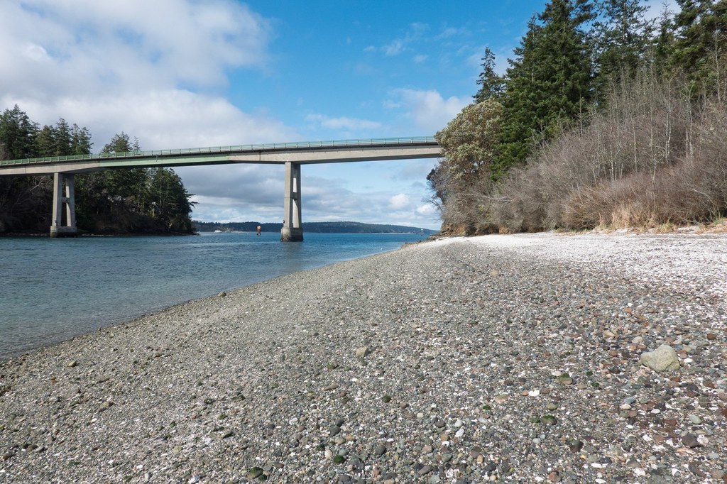
From Port Hadlock, at the intersection of State Highway 116 and Chimacum Road, Head east on SR 116 (named Oak Bay Road) for 0.8 miles. Turn left at the sign "Indian Island" and proceed over the bridge spanning Portage Canal, passing the first trailhead on the right. (This right-hand turn is where you'd go to access Oyster Shell Beach).
Continue on 116E and turn right at the sign "County Park / Lagoon Beach N" and pass the trail before dropping down to the beach. This is the preferred trailhead due to its easy beach access and central location along the trail. A picnic table and pit toilet are the only amenities.


