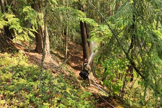

After gaining 200 feet in short order to get around a cliffband, the trail maintains a steep, yet steady grade to the lookout site — there are no wild ups and downs.
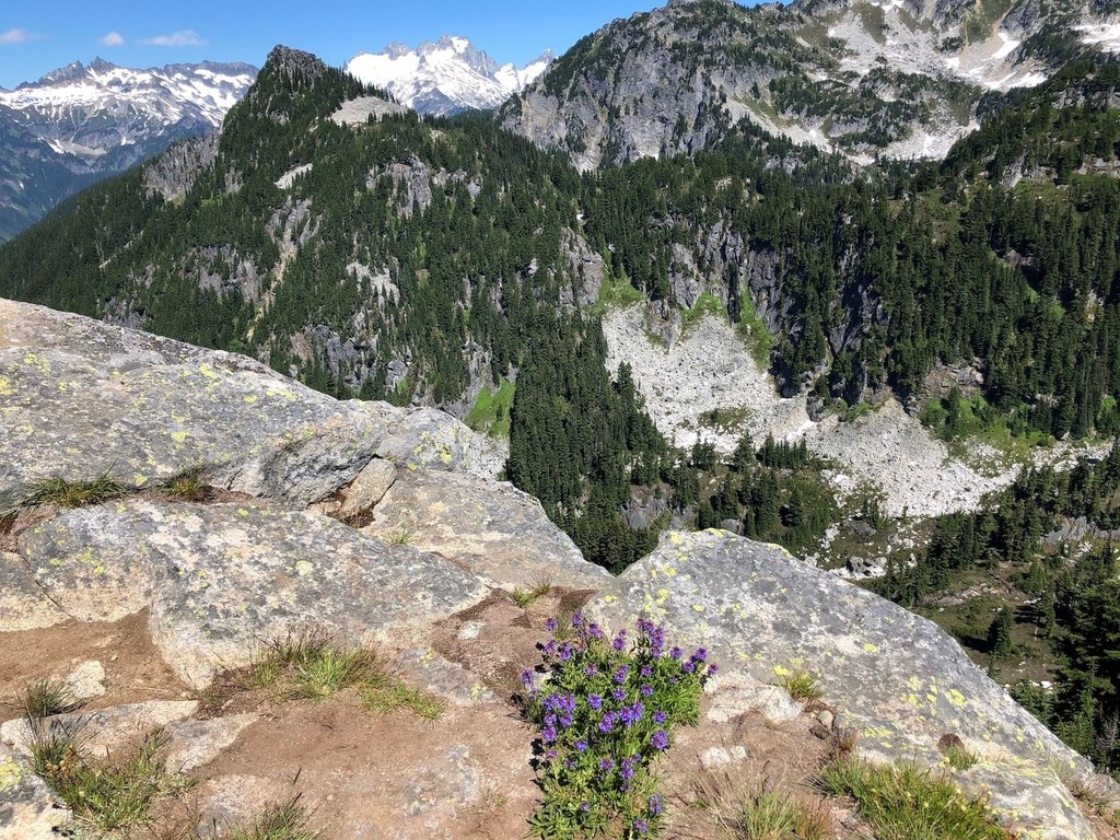
With the exception of a water source a mere quarter-mile from the trailhead, there is no water anywhere along this route. Start out well-hydrated, and carry plenty of water. Because there are no streams, there are no trail washouts, and typically there are not many trees across this trail. The terrain is relatively monotonous, but keep plodding — you will be rewarded. Peek-a-boo views begin on a rocky slope near the high point, and give way to full-on views of Glacier Peak.
Head east on the summit ridge for views, and wander as far as you like in the high mountain meadow. Though the destination is an old lookout site, there never was a structure there; rather, the hardy souls who landed a lookout gig here built their own “rag house” (tent). The trail becomes faint as it transitions into a boot-path used by those traversing the Bath Lake High Route. Glacier Peak is so close!
With your eyes, follow the canyon of aptly-named Dusty Creek, and its ashy whirlwinds, as it winds down to the Suiattle River. Mountain views include Green and Downey mountains to the west, Dome Peak to the north, White Chuck Mountain across the Suiattle valley, and to the east, the true summit of Sulphur Mountain. Sulphur Lake is far below — the fire lookout’s water source. Gazing at Sulphur Lake, imagine a lone lookout in the 1920s and 30s having to go all the way down to the lake for water. You’ll be glad you started out hydrated and brought plenty of your own.
 Trailhead