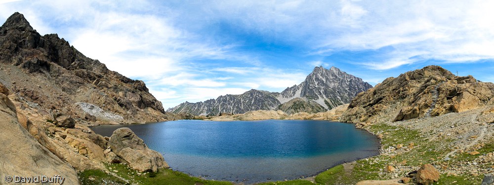
Lake Ingalls had a lot to live up to based on the pictures on wta.org, and it didn’t disappoint.
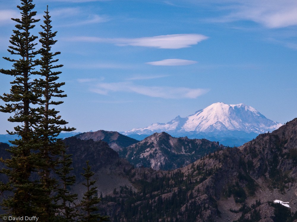
We left Seattle at 8:00am and arrived in the parking lot a little over two and a half hours later. At the trailhead, there is a small eating area that overlooks a small multi-tiered falls; we dawdled a moment but were soon on our way. The trail climbs steadily and reaches the first junction at which you take the trail to the left and continue upwards. It’s clear that the path to Engalls Pass is heavily travelled, both from the number of cars in the lot and the dusty, pounded condition of the trail. After staying left at the junction with Longs Pass trail, we climbed another hour or so and reached the top of Engalls Pass. To the Southwest, through a conveniently located saddle on the next ridge, Mt. Rainier is impossible to miss. On a clear day, you can see Mt. Adams as well.
From Engalls Pass, there are two routes to choose from. The first, and longest, continues around the basin to the East - this is the only trail marked on Green Trails Map 209. However, a shorter route exists – simply find the trail that leads directly North from the pass, down into the Headlight Creek Basin. This route accesses some of the only campsites not “closed for restoration.”
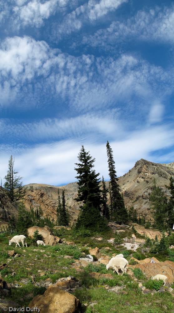
No matter which route you take, you end up at the junction on the North side of the Headlight Creek Basin. Follow the trail to the Northeast that climbs over the ridge and finally arrives at Lake Engalls. No camping is allowed at the lake, although the comings and goings of other hikers would probably be enough to discourage most backpackers. Honestly, this area is not ideal for anyone seeking solitude, but the panoramic views of Engalls Peak and Mt. Stuart are spectacular. Experienced hikers can scramble up the South Ingalls Peak, and also up the unnamed ridge directly east of Lake Engalls. (The route up is the goat path on the East side.)
There were mosquitoes at dawn and dusk, and some large biting flies during the day. A very cold breeze blew through the valley and at the lake the entire time we were there, and at night the mercury almost touches freezing, so be prepared.
The trail to and from Lake Engalls is indeed heavily used, and may soon see the implementation of the permit system much like The Enchantments area directly NE, so go see it soon.


Comments
Posted by:
DC on Jun 30, 2010 07:30 PM
Aside from the lake, how were the water sources along the route, in particular in Headlight Basin?
Posted by:
Aaron Drake on Sep 02, 2020 11:28 AM