Beginner to Backcountry: Where to Go Snowshoeing This Winter
Don't let snow stop you from getting outdoors. Whether you've snowshoed for years, or are just starting out, you'll find some ideas of where to go listed below.
Want more suggestions? Make an account with WTA! It unlocks a recommender you can personalize by saving hikes and writing trip reports.
Be Prepared
Before any winter outing, be sure to check conditions and stay within your skill level. Snow conditions on all of these routes change month-to-month and year-to-year over the winter, so check trip reports, weather and snow and avalanche conditions before you head out.
Remember, stay off of frozen lakes no matter how solid they seem!
Beat the crowds
Sno-parks are popular and parking lots fill up fast on weekends (especially along I-90). Pack your patience and a backup plan, and consider planning a weekday visit if you can.
Hike like a pro. Snowshoe next to — never on top of — cross-country ski tracks when you see them.
Central Cascades
Wenatchee Crest
Location: Blewett Pass
Length: 6.0 miles, roundtrip
Elevation Gain: 400 feet
Good For: Everyone
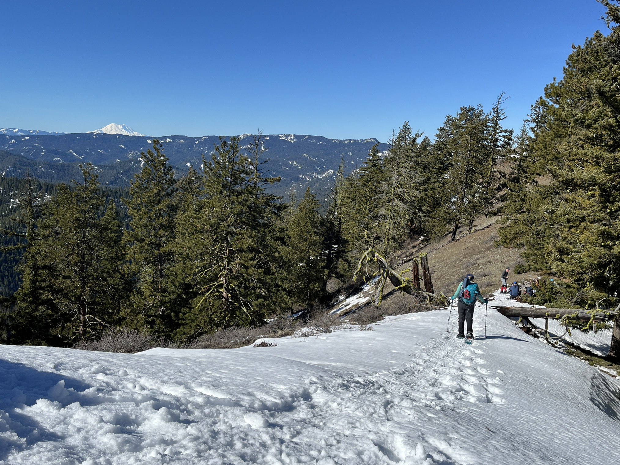 Views from the beginning of the Wenatchee Crest snowshoe. Photo by Redshirt.
Start high and stay high, with views nearly always within view on this snowshoe road walk from the top of Blewett Pass. Starting at the Blewett Pass Sno-Park, this is a great choice for beginners, kids and those who don't want to worry about avalanche risks. Whether you're gazing at Tronsen Ridge spread out before you or at Diamond Head on the other side of the pass, this is a rewarding day trip.
> Plan your visit to Wenatchee Crest using WTA's Hiking Guide
Palouse to Cascades Trail - Lake Keechelus
Location: Snoqualmie Pass
Length: 4.0 miles, roundtrip
Elevation Gain: 200 feet
Good For: Everyone
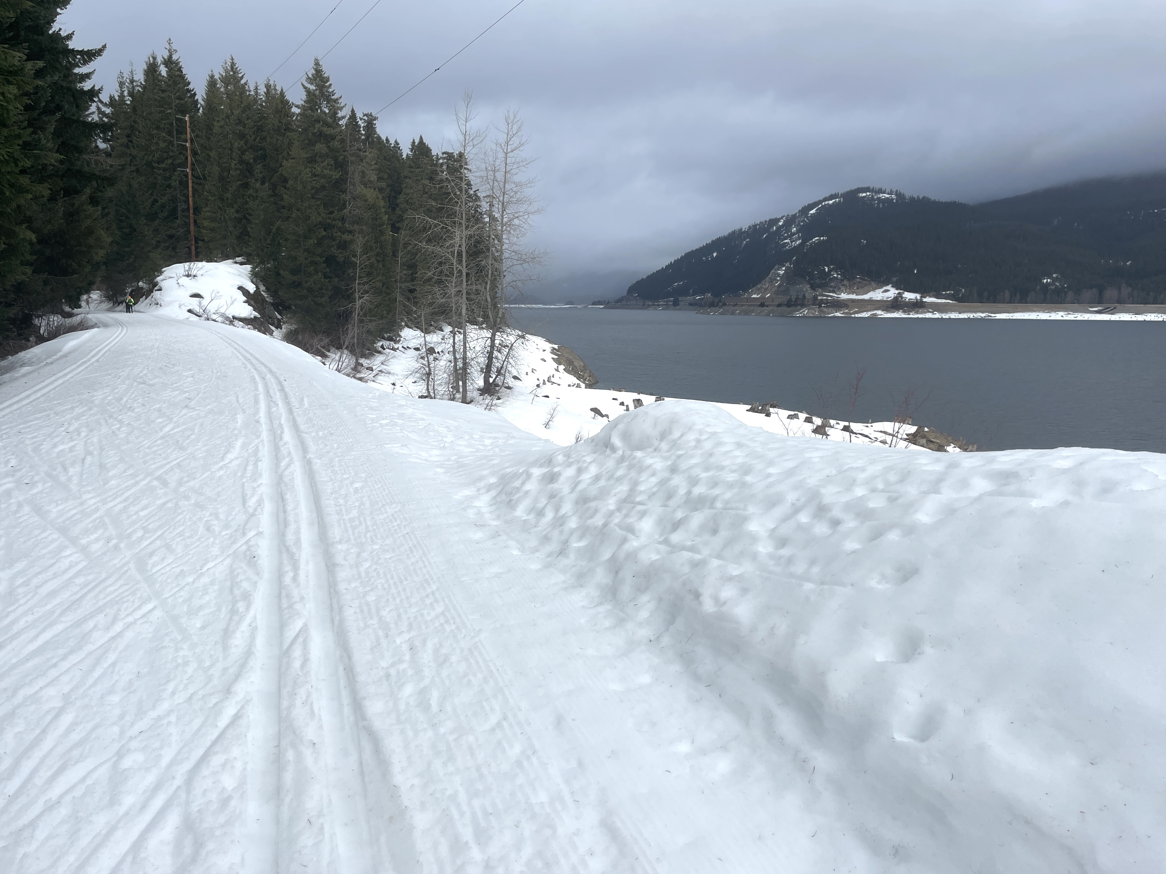
A beautiful snowshoe next to the large Lake Keechelus. Photo by Lisa Elliot.
This segment of the long Palouse to Cascades Trail makes for a great snowshoe in winter. The trail hugs the side of the big lake and the trail's mild grade and wide width make it the perfect snowshoe for beginner and experienced snowshoers alike.
> Plan your visit to Palouse to Cascades Trail - Lake Keechelus using WTA's Hiking Guide
Skyline Lake
Location: Stevens Pass - West
Length: 3.0 miles, roundtrip
Elevation Gain: 1,100 feet
Good For: Experienced snowshoers
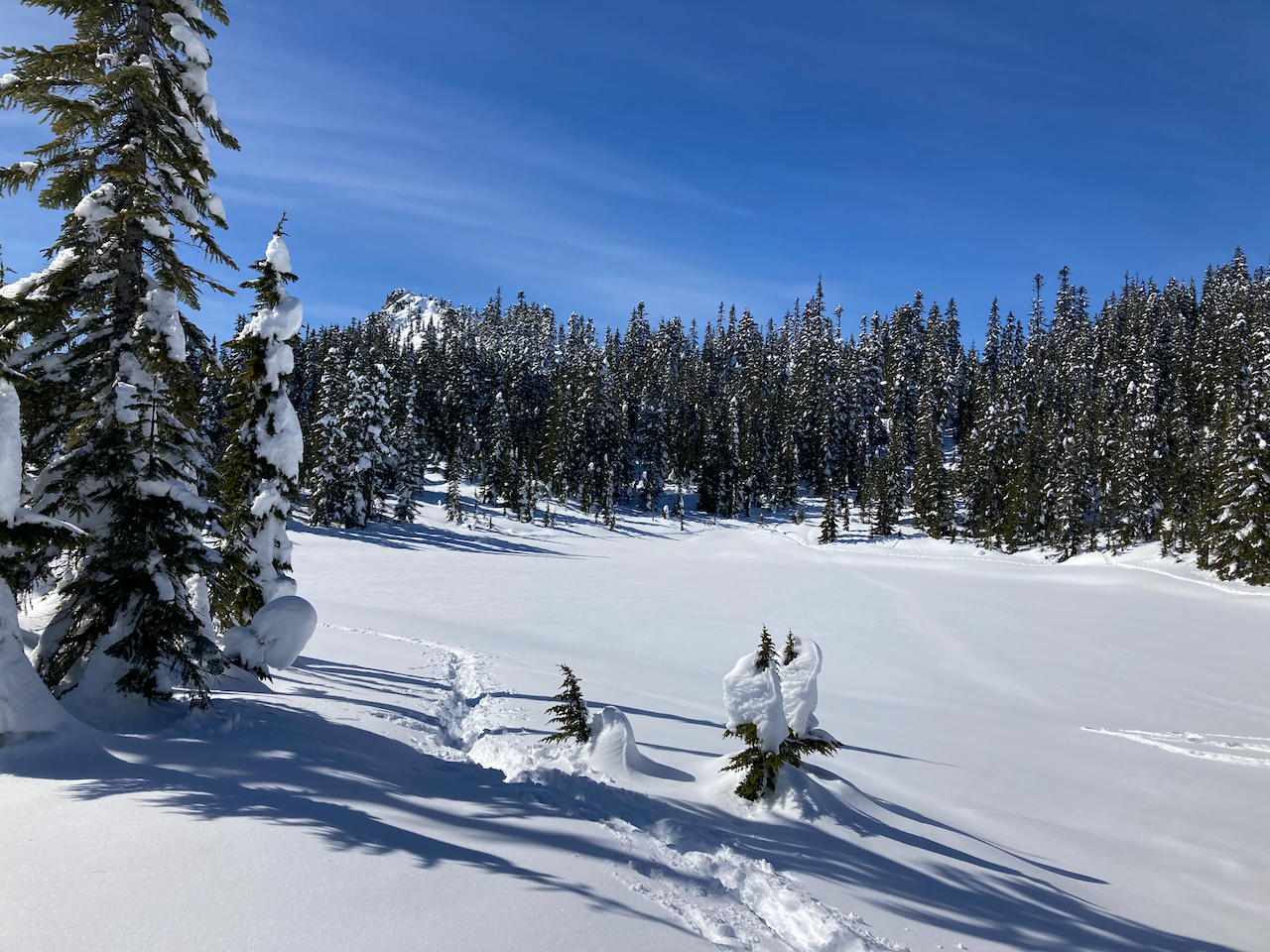 Skyline Lake covered in snow. Photo by Abam.
Dramatic mounds of snow, a frozen lake and sweeping views into the Alpine Lakes and Glacier Peak Wildernesses await snowshoers at Skyline Lake. Easily accessed from Stevens Pass, across from the ski area, this steep but rewarding climb is a classic on a sunny day. What's more, no parking passes are required at the trailhead.
> Plan your visit to Skyline Lake using WTA's Hiking Guide
Surprise Lake Snowshoe
Location: Stevens Pass - West
Length: 8.0 miles, roundtrip
Elevation Gain: 2,300 feet
Good for: Experienced snowshoers with winter backcountry skills
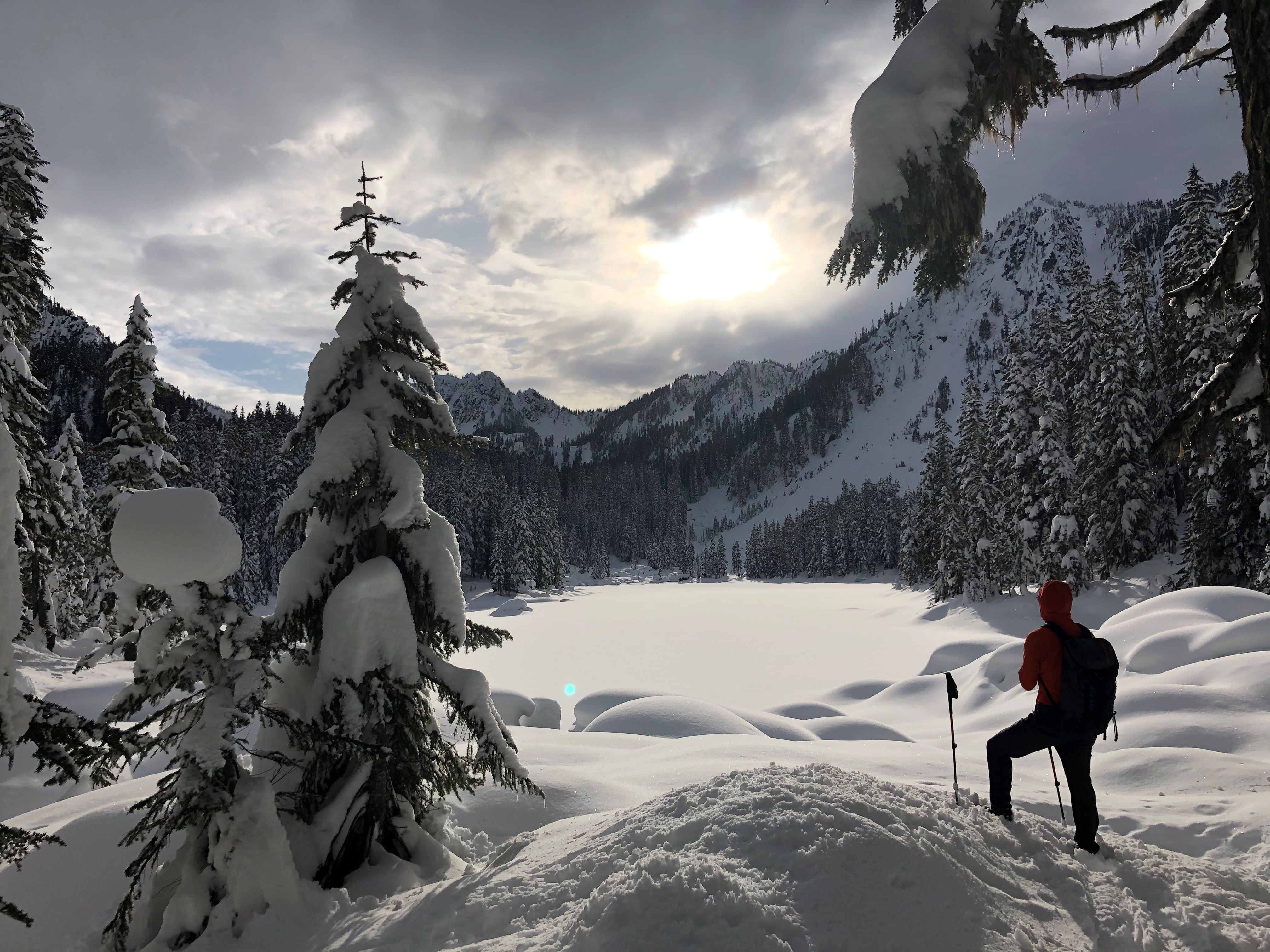
A snowshoer enjoys the view of the lake. Photo by twochewy.
This backcountry route does not follow any road or trail, but winds up the narrow Skykomish River Valley just over 4 miles to the banks of Surprise Lake. You'll get some views on the way to the lake, but the large lake opens up the best views on the trek.
Tip: While you may encounter other tracks, don't rely on them as your route-finding source.
> Plan your visit to Surprise Lake Snowshoe using WTA's Hiking Guide
North Cascades
White Salmon Road
Location: Mount Baker Area
Length: 5.0 miles, roundtrip
Elevation Gain: 485 feet
Good For: Everyone
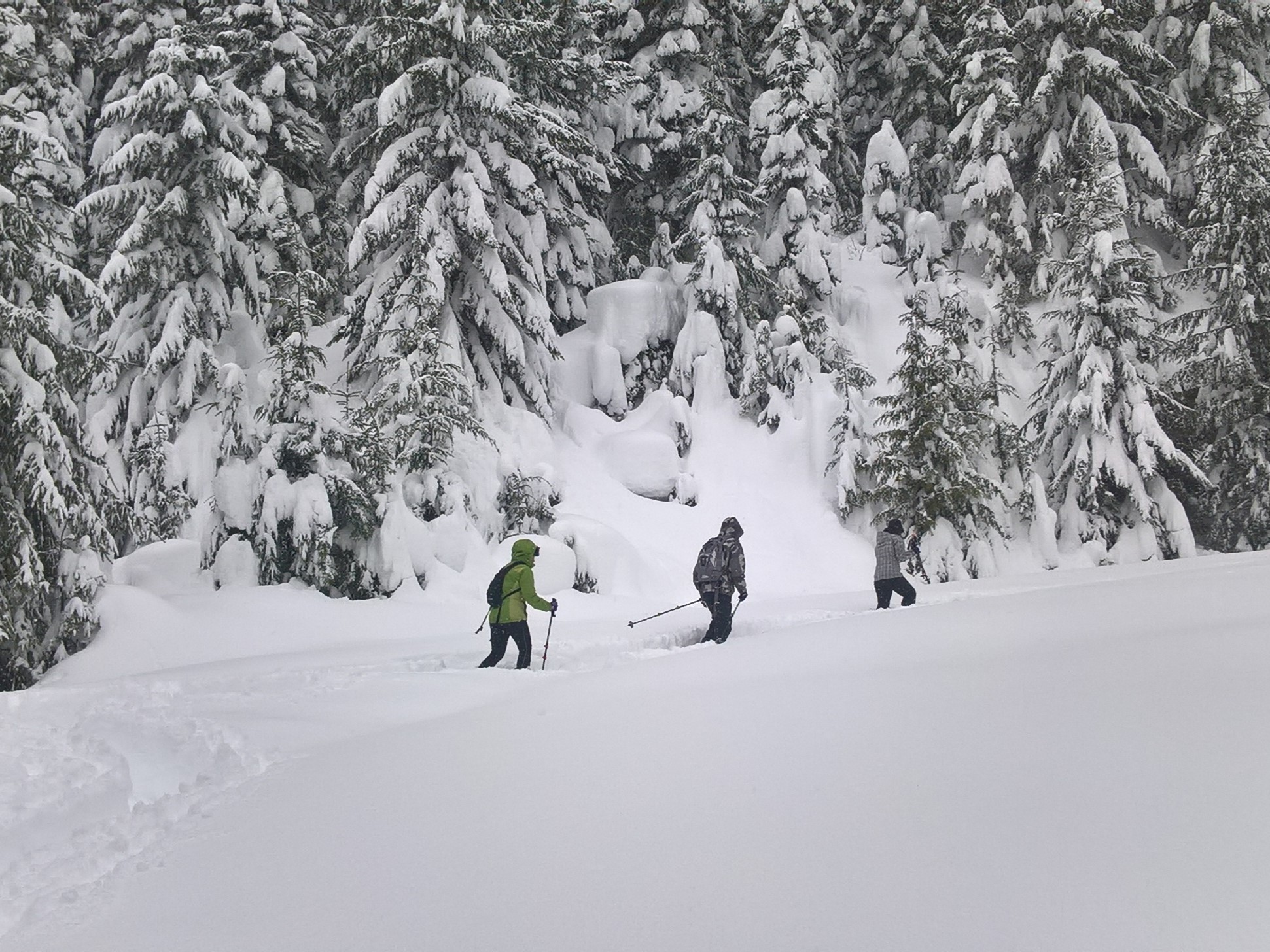 Snowshoers in deep snow. Photo by LakeHiker.
While nearby Artist Point gets all the glory, this snowshoe destination just down the road can make for a wonderful outing as well. Starting at the Salmon Ridge Sno-Park (which requires a permit), you can tromp through the Nooksack River valley for miles with the whole family. If skies are clear, you'll get fantastic views up at the peaks ringing the basin. This area sits at a relatively low elevation, so you may just end up hiking the trail if rain has ruined the snow.
Tip: As in all snowshoe/ski trail systems, stay off the groomed ski tracks here.
> Plan your visit to White Salmon Road using WTA's Hiking Guide
Artist Point
Location: Mount Baker Area
Length: 4.0 miles, roundtrip
Elevation Gain: 1,000 feet
Good For: Experienced snowshoers
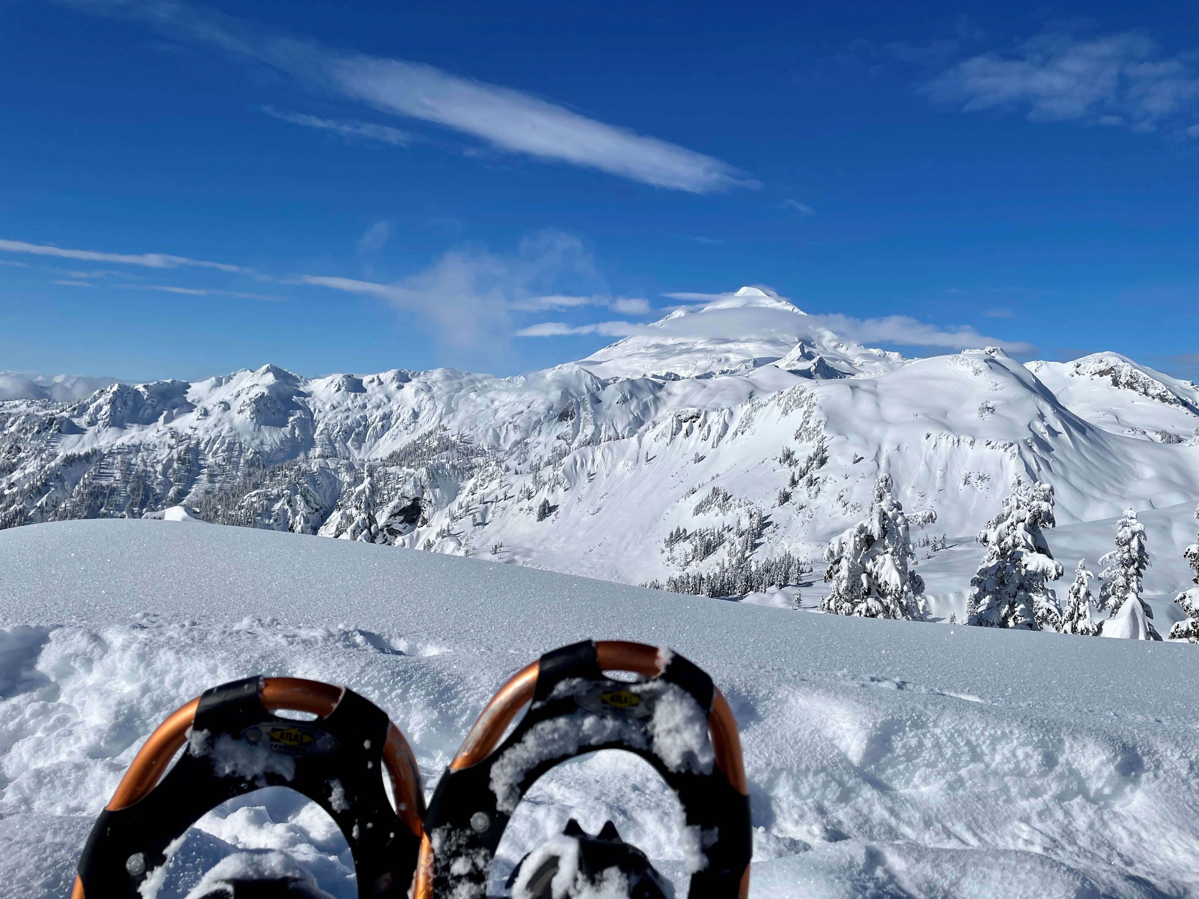 Taking a break on an Artist Point snowshoe trip. Photo by AllOfUs.
Never failing to live up to its name, Artist Point's winter vistas easily match — and some would argue beat — those enjoyed by summer hikers. Though more challenging than some routes on this list, Artist Point offers experienced snowshoers a delightful outing among the North Cascade's most beautiful terrain. Ready to take your snow skills to the next level? This area makes quite an impression as a winter backcountry overnight destination.
> Plan your visit to Artist Point using WTA's Hiking Guide
Mount Rainier
Mazama Ridge
Location: Longmire/Paradise
Length: 6.0 miles, roundtrip
Elevation Gain: 900 feet
Good for: Everyone (except dogs)
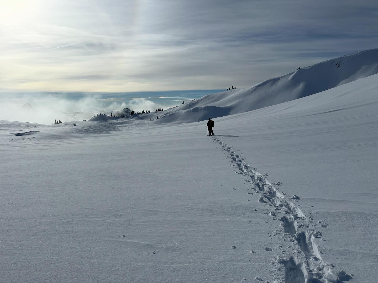
Breaking trail at Mazama Ridge. Photo by cristina.
This trip is incredibly popular with snowshoers and for good reason. It starts at the Paradise Visitor's Center, following the Stevens Canyon Road — if you're lucky enough to have a clear day, the views of the mountain are stupendous. Other areas in the park worth a try are Glacier Vista Showshoe and Reflection and Louise Lakes.
> Plan your visit to Mazama Ridge using WTA's Hiking Guide
Mowich Lake
Location: Carbon River/Mowich
Length: 10 miles, roundtrip
Elevation Gain: 1,400 feet
Good For: Everyone (except dogs)
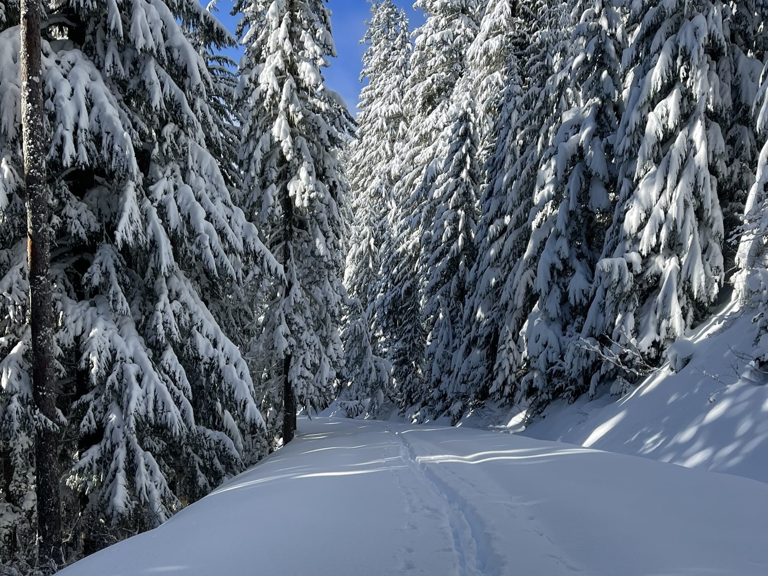
This hike is a great option for snowshoers and cross-country skiers. Photo by NWFlyGuy.
It's an easy snowshoe or cross-country ski, with little to no avalanche danger, up the Mowich Lake Road. You pass beneath towering cedars, Douglas firs and hemlocks, with enough peek-a-boo views on the way up to keep you entertained.
The real treat is Mowich Lake, transformed into a winter paradise by snow and its reprieve from the hordes that drive there during the summer. You'll enjoy views of Tolmie Peak, Paul Peak and Mount Rainier from the lake.
Tips: Depending on conditions and your vehicle, you may want to park along the road or at the park boundary. Conditions on the first stretch of the trail are often poor (you may end up carrying your snowshoes or skis for a bit), but improve as you climb. If you are contemplating a winter camping trip, consider Mowich Lake.
> Plan your visit to Mowich Lake using WTA's Hiking Guide
Olympic Peninsula
Hurricane Hill
Location: Northern Coast
Length: 6.0 miles, roundtrip
Elevation Gain: 800 feet
Good for: Beginner to experienced
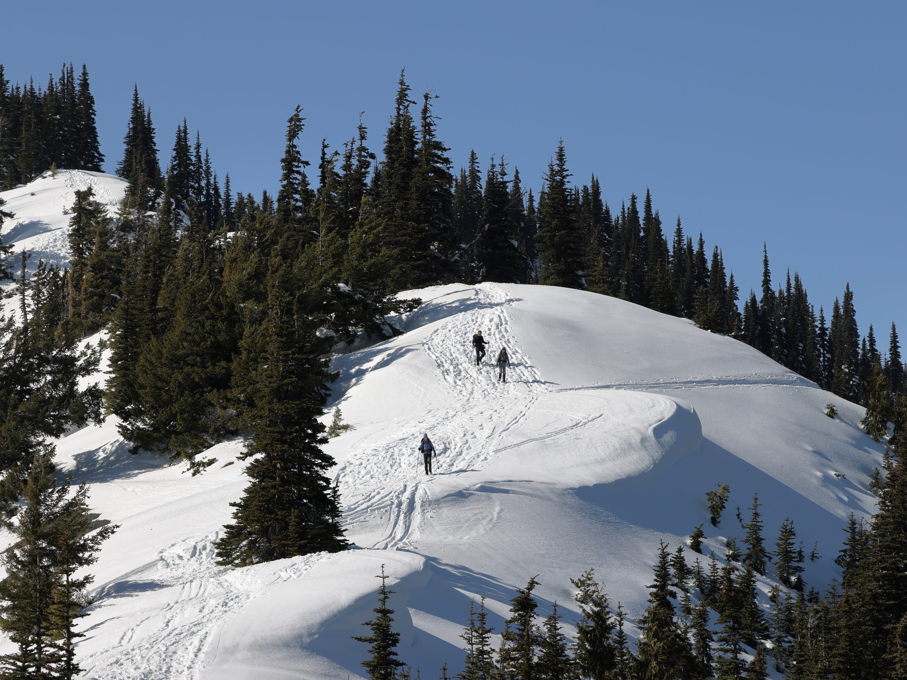
Snowshoers make their way up Hurricane Hill. Photo by JasonGriffx.
One of the park's most popular destinations in summer is much quieter in winter. But the views are even more inspiring shrouded in a blanket of snow. Atop Hurricane Hill, snowshoers will be able to take in the majesty of the Olympic Mountains as well as the serenity of the San Juan Islands.
Tips: The road to Hurricane Ridge is closed Mondays through Thursdays. Check conditions on the National Park Service website.
> Plan your visit to Hurricane Hill using WTA's Hiking Guide
South Cascades
Tieton River Meadows
Location: Goat Rocks
Length: 10.0 miles, roundtrip
Elevation Gain: 350 feet
Good For: Everyone
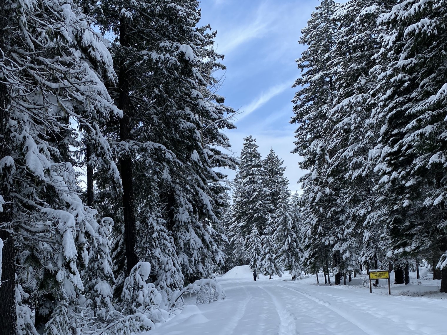
Snowy evergreens surround snowshoes. Photo by motherofadventure.
Follow an unplowed forest road as it meanders up the Tieton River Valley and keep an eye out for elk, fox, martens and other wildlife that thrive in this wilderness area. Along the way, you can enjoy views of Old Snow Mountain or explore the wide meadows that line the trail. Like this area and want to try something else? Try out Sand Lake.
> Plan your visit to Tieton River Meadows using WTA's Hiking Guide
June Lake
Location: Mount St. Helens
Length: 4.8 miles, roundtrip
Elevation Gain: 500 feet
Good For: Everyone
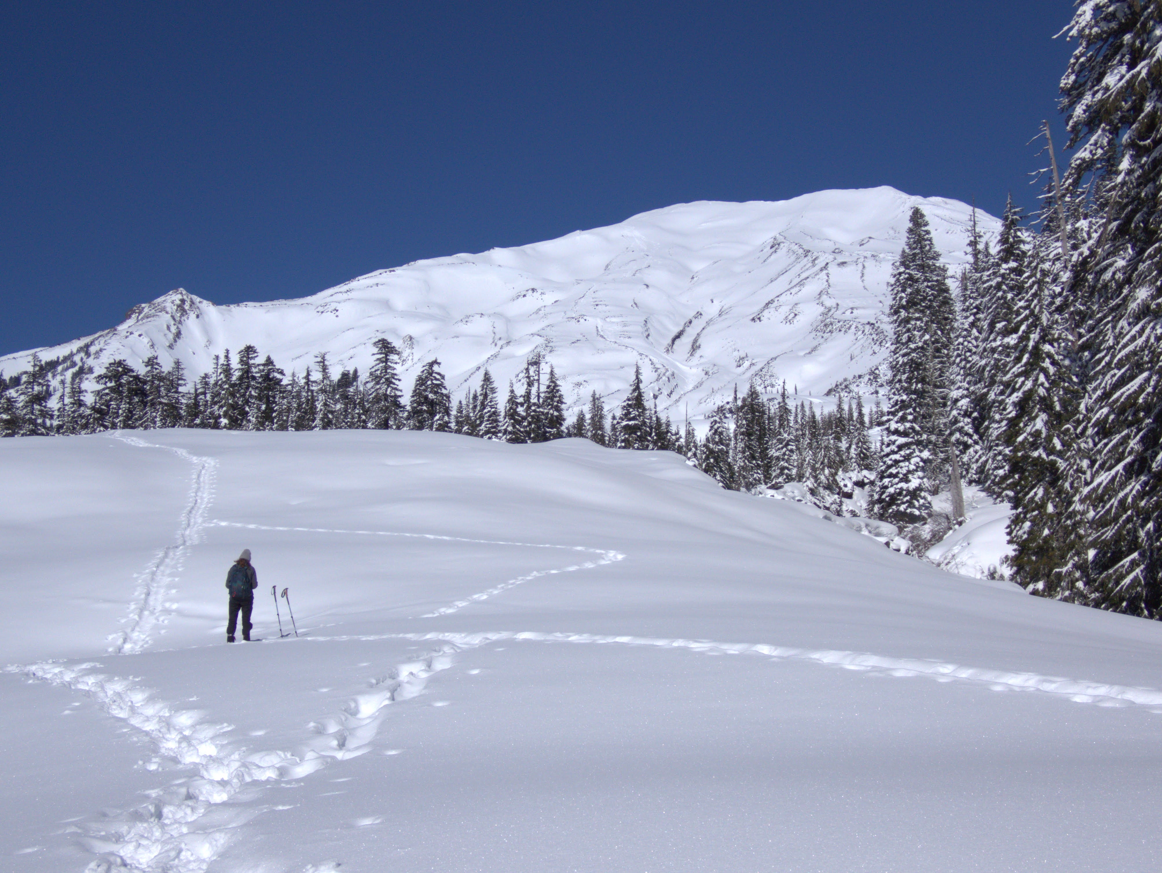
Views of Mount St. Helens from beyond June Lake on the trail. Photo by tacoma245.
Lying just south of Mount St. Helens, the June Lake trail climbs through a serene landscape of meadows, forests, lakes and streams, all left untouched by the devastating 1980 eruption. Once at the lake, take in the spectacular views and continue along the shore to reach the waterfall on the opposite side.
> Plan your visit to June Lake using WTA's Hiking Guide
Eastern Washington
Mount Spokane
Location: Spokane Area
Length: Varies from 1.5 to 13.0 miles, roundtrip
Elevation Gain: Varies from 240 to 1,350 feet gain
Good For: Options for all levels
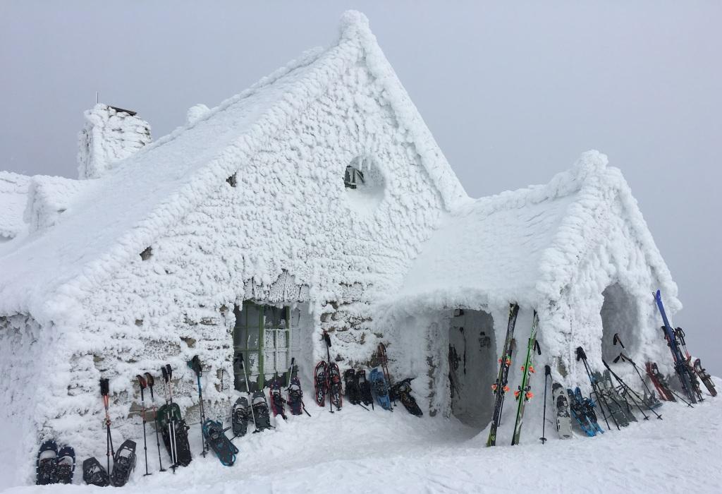
Snowshoes and cross-country skis at Vista House on Mount Spokane. Photo by Holly Weiler.
Though better known as a destination for skiers, Mount Spokane is a great place for Eastern Washington snowshoers to get out and play.
There are many trails to choose from, and two of the best climb to a CCC Cabin (4 miles roundtrip) where you can warm up inside, and to the top of Mount Spokane (3 1/4 miles roundtrip), which is also the top of the ski hill and boasts a cafeteria. It's not exactly a wilderness experience, but lots of fun.
> Plan your visit to Mount Spokane using WTA's Hiking Guide
Mica Peak
Location: Spokane area
Length: 45.0 miles of trails
Elevation Gain: 2,000 feet
Good For: Experienced snowshoers
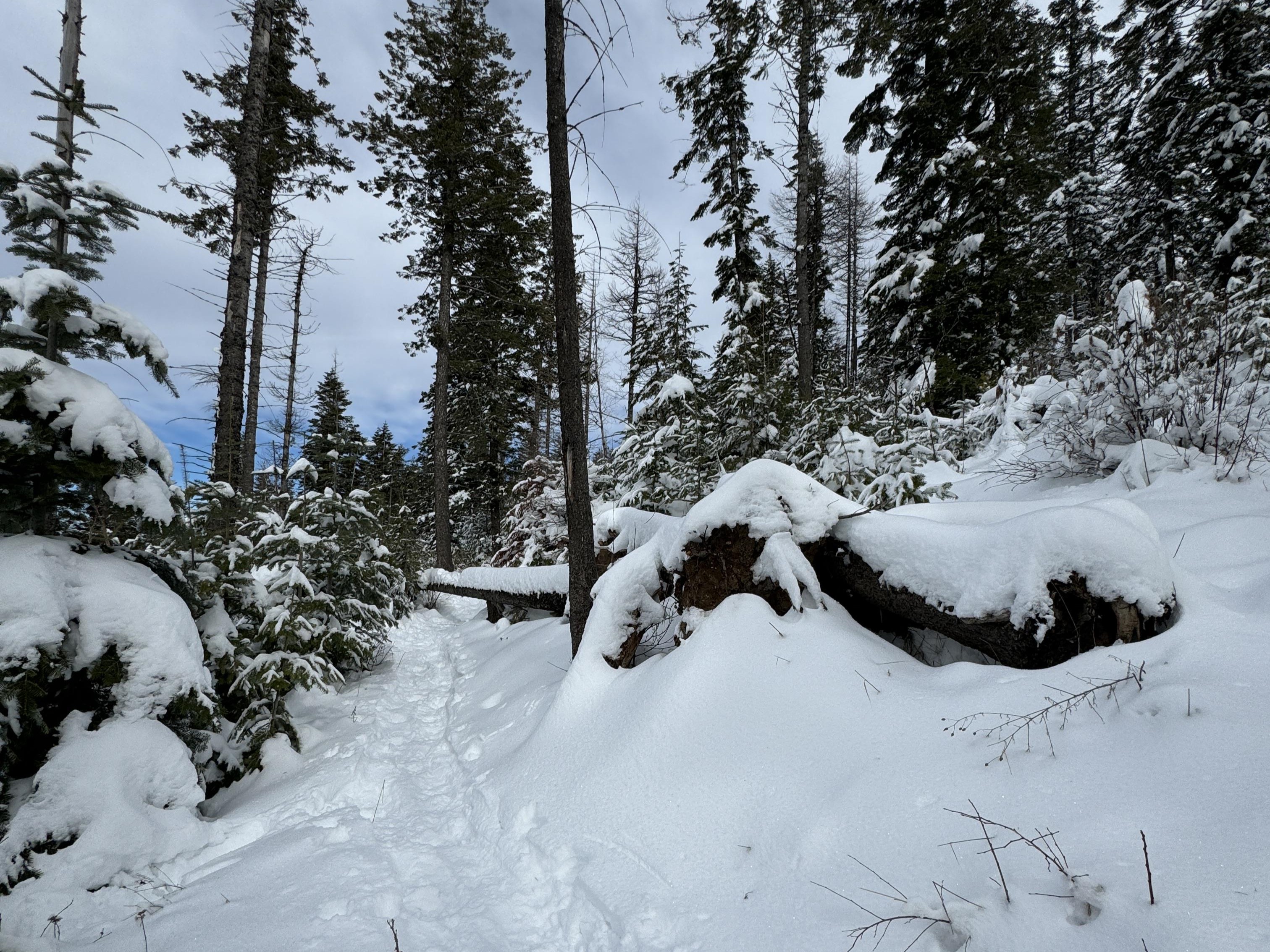
Trek through the snow on a climb to the peak. Photo by areizik@gmail.com.
Mica Peak is a good workout year-round, and will definitely work your calves if you choose to break trail in the wintertime. Although the peak itself is not open to the public, there are dozens of miles of trails here to explore.
> Plan your visit to Mica Peak using WTA's Hiking Guide
Columbia Mountain
Location: Okanogan Highlands/Kettle River Range
Length: 7.5 miles roundtrip
Elevation Gain: Varies
Good For: Experienced snowshoers with winter backcountry skills
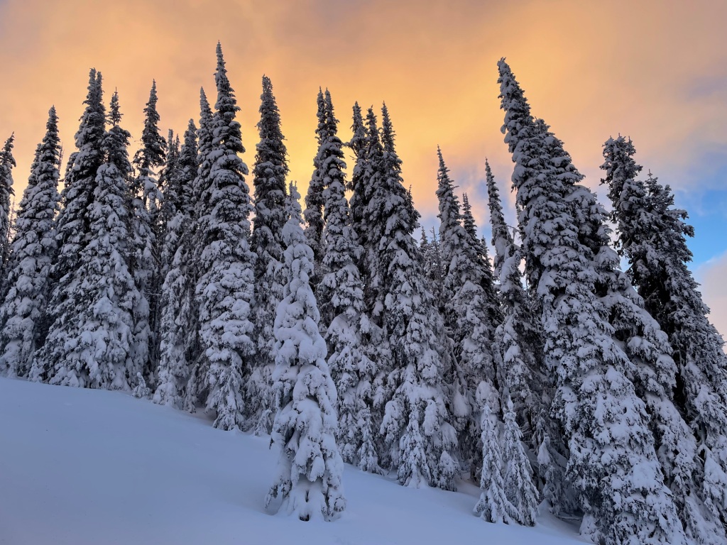
This hike is great for snowshoeing and beautiful sunrises. Photo by Holly Weiler.
An Eastern Washington favorite, this hike in the Columbia Highlands offers hikers the feeling of remoteness, even though it's right off the highway. And if you're up for making the climb to the summit, you can check out an old restored fire lookout cabin.
> Plan your visit to Columbia Mountain using WTA's Hiking Guide
Snow Peak
Location: Okanogan Highlands/Kettle River Range
Length: 10.0 miles roundtrip
Elevation Gain: 875 feet
Good For: Everyone
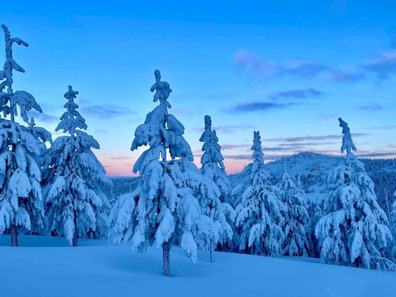
Trees being weighed down by a heavy layer of snow. Photo by Jeneffnh.
You need a reservation to stay at the Snow Peak cabin, but you don't need anything more than some snowshoes and a sno-park permit to hike up there. The trail starts above 5,500 feet, so you'll likely see snow before you've even started and some great views as you continue up the mountain.


