Bottom Line:
Hike ascends a canyon wall, looping around the edge of a peninsula jutting out into Lake Billy Chinook, with dramatic canyon walls, a breathtaking deep-blue lake, and desert scenery. Located in The Cove-Palisades State Park.
Stats
- Distance: 7 miles
- Duration: 2-1/2 hours
- Vertical: 800 ft, sustained climb to plateau
- Trail: Trail dry and in good condition; seemingly untouched by winter! I love desert hiking, and this trail was something special.
This trail is located in The Cove Palisades State Park in eastern Jefferson County, Oregon, near Culver and Madras in the central part of the state. Madras is ~80 miles south of Goldendale, WA. This is another Bend/Redmond/Madras area hiking option (yesterday's waterfall hike here) different from visiting Smith Rock yet again (as beautiful as that is, especially at sunrise).
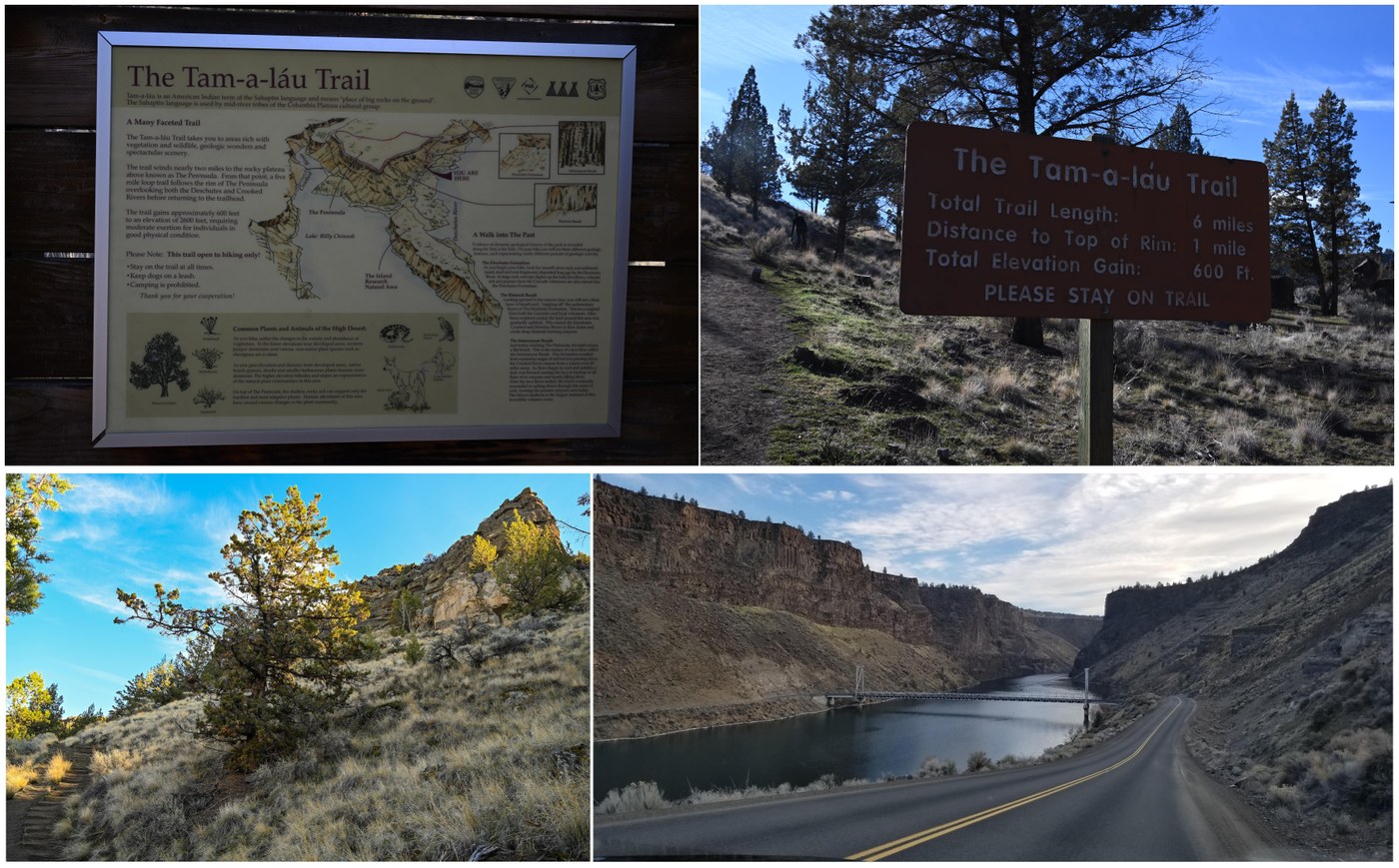
Once you cross into the park, the drive is significant, winding down a canyon wall, past the (closed-for-winter) marina, down to a narrow canyon at the end of the lake to cross a bridge, and up and around the opposite side of the canyon. There is signage for the Tam-a-lau trailhead, with the parking area on the right (lakeside) side of the road, even though the trail ascends the canyon on the left side of the road.
The trail consists of an up-and-back canyon wall ascent up to a high plateau ("The Plateau", ~3 miles return from the parking lot), and a 4-mile loop on the plateau with 360-degree views of the park. Another lollipop-loop!
“Tam-a-láu” means “big rocks on the ground” and that was an apt description for a trail that reminded me of the dry Sierra Nevada in Yosemite NP. Huge boulders rest on the side of the trail, surrounded by bunchgrass and sagebrush. As you begin the climb switchbacks, you can see another big rock - "The Island", a 208-acre landform that is designated as a National Natural Landmark and is off-limits to the public.
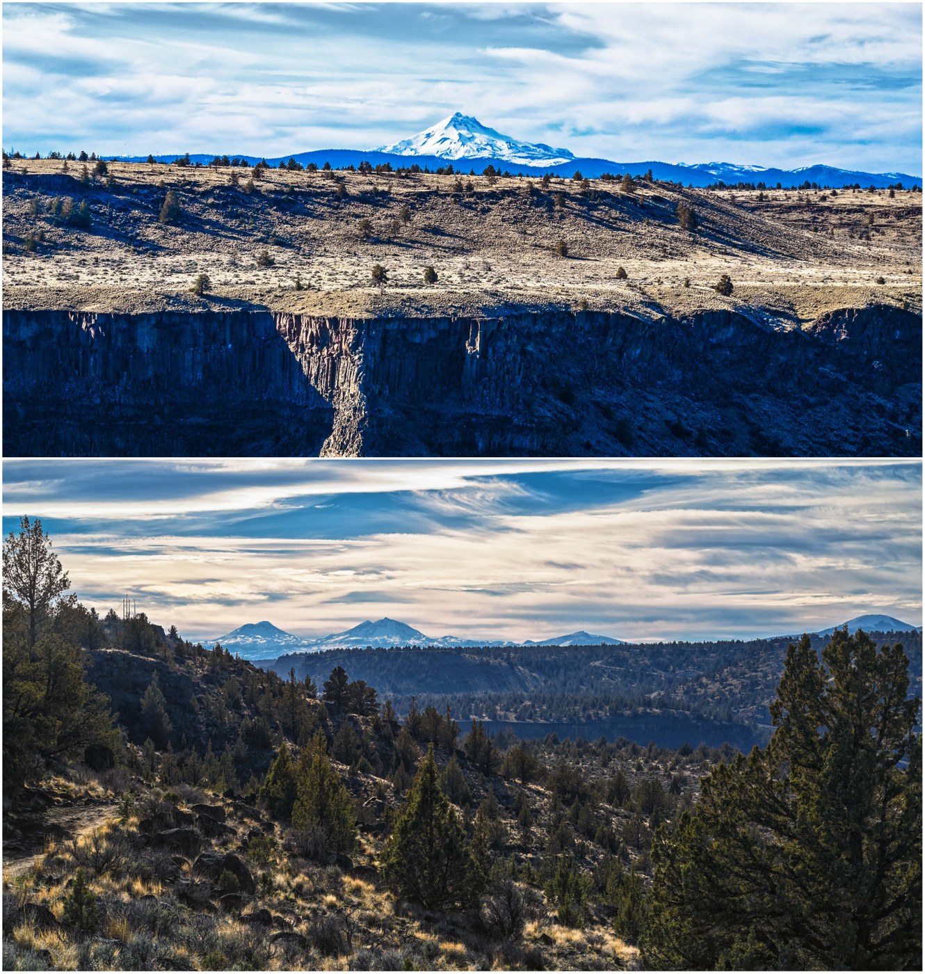
Beautiful canyon walls, rock formations, backlit golden grass, dappled sunlight near the canyon wall, juniper trees (some clearly ancient) and sagebrush, with river and opposite canyon views, as well as a line of snowy volcano summits framing it all, from Jefferson south to the Three Sisters. What is not to love? The Deschutes River arm of Lake Billy Chinook wraps around the northern point of The Island, where it meets up with the Metolius River and Crooked River arms by the Round Butte Dam.
Lots of wintering birds - seemed like an ideal spot to me!


Comments