Bottom Line:
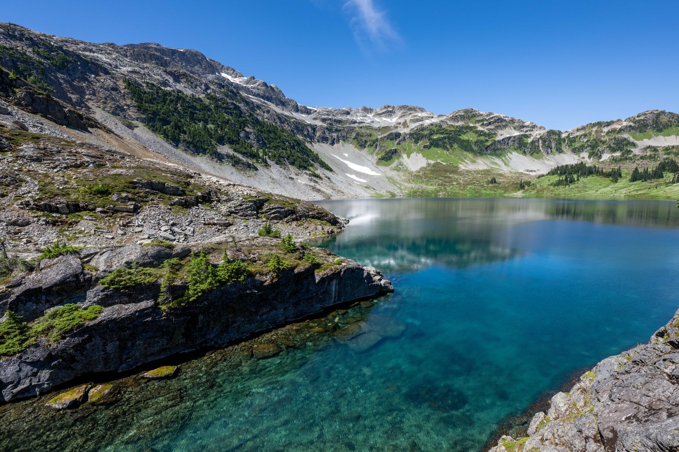
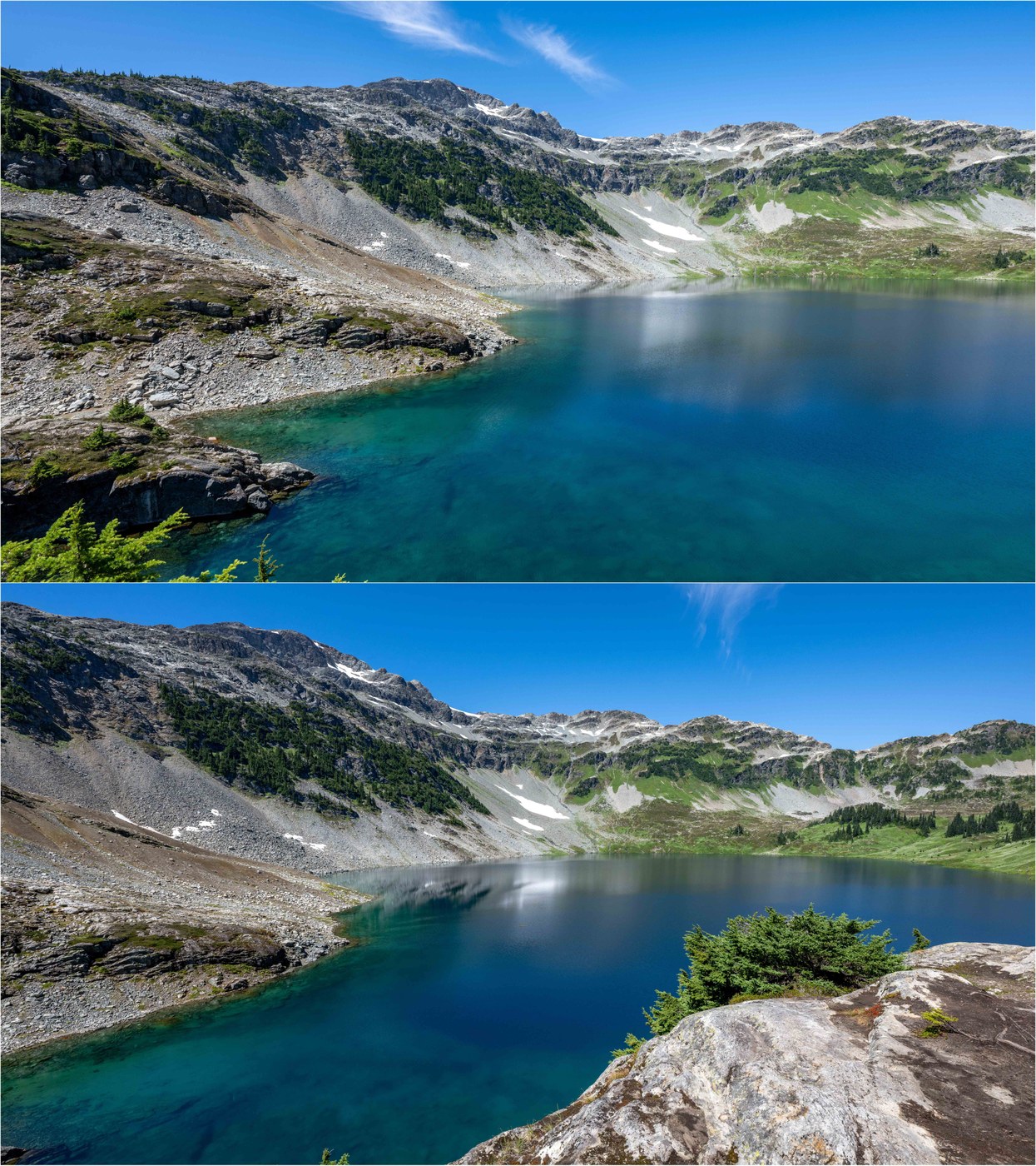
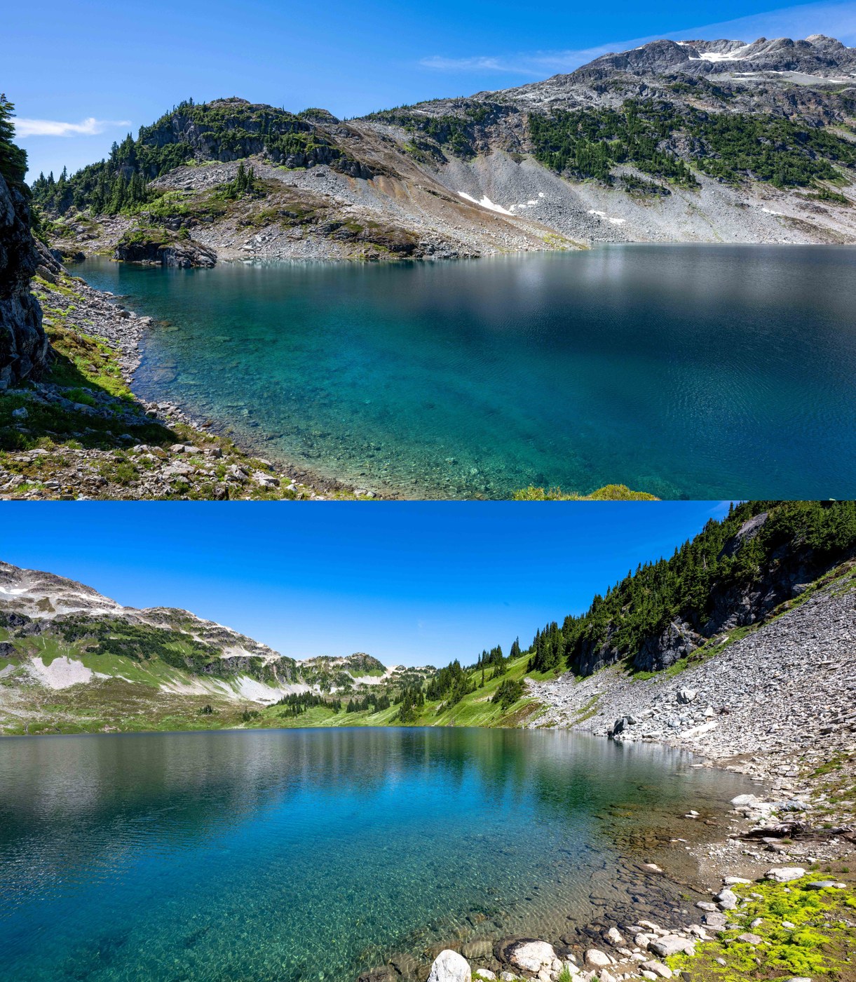
Repeat of my previous attempt to hike to Cirque Lake, BC that was unsuccessful due to snow conditions. No grizzly bears this time! This hike is between Squamish and Whistler - we made it to Squamish in ~90 minutes from the WA border with no traffic. Packraft across a glassy Callaghan Lake to a boot path up the right side of Cirque Creek to a stunning glacial cirque set below Mount Callaghan. The trail is rough, with some steep rooty sections with ropes, and a short, bouldering scramble near the top, but overall easier than expected (although much more difficult than the stats suggest). With recent rain, some muddy conditions. The lake basin is magical, with a breathtakingly clear lake, steep cliffs and waterfalls, flowering meadows ripe for exploration (there are additional lakes over the northeast rise) and views of glaciers on surrounding peaks (mainly southwest - see video).
Stats:
- Distance: ~5 miles (3 miles paddling, 2 miles hiking)
- Vertical: ~1200 ft
- Duration: ~4 hours (lots of time at the lake)
- Road/Parking: The road by Callaghan valley to Alexander Falls is paved. Beyond the falls, cross a single-lane bridge into Callaghan Provincial Park for a ~6-mile dirt road to the trailhead at Callaghan Lake (signed). The road is in good condition but has frequent drainage "ditches" running perpendicular to the road, some of which are deep (my Outback scraped twice - oops!) High clearance recommended. There is free parking for maybe 10 cars at the lake, and a small campground (free, ~8 spots). There is a warning sign entering the park about bears (black, grizzly) and the need to carry and know how to use bear spray.
- Weather: Sunny, with light wind in the afternoon; from 50Fs at the start to ~80F on the return. This lake is known for afternoon wind, so best to plan a morning trip to make sure you are off the lake by mid-afternoon.
- Flowers: Lots of flowers, although I would say nothing really dense until you get to the lake basin, where you could see the flowers in the meadows from a good 1/2-mile away. Among the varieties: fireweed, aster, arnica, heather, corn lilies and lupine.
- Animals: Pika throughout the boulder field. Besides grizzly bears, there can be moose in the Callaghan to be wary of. Hummingbirds at the lake was a surprise - second time seeing them in the high alpine this year!
- Water: Plenty of water on the trail; no real need to carry water.
- Paddle: The hiking trail is only accessible by water. The ~1-1/2 miles paddle up the west shore of a glassy Callaghan Lake seemed effortless. The west side of the lake is shallower - I could see the bottom through the crystal-clear water the entire time (see video). At the end of the lake, the "trailhead" is a small clearing on the shore, near a log that juts out in the lake (the only one), and between a primary output of Cirque Creek (L) and a secondary one (R). There is a small clearing through the bushes where folks stow their boats - it will be obvious that this is the right spot. The paddle back on the east shore was definitely more work with some light wind and deeper water. Mileage will vary depending on the directness of your route - hugging the shore will make the paddle ~2-3 miles. Folks were using canoes and some paddleboards. Callaghan was warm enough to swim, while Cirque just recently melted out so was very cold.
- Trail: I was alone at the lake for ~45 minutes before some other hikers arrived, but there were only about 4-5 parties. Do not let the stats fool you - the ~1 mile/1200-ft ascent is steep, with all the vertical coming in ~1/3rd of a mile. The trail begins by following beautiful Cirque Creek where one must negotiate a stream crossing. It can be a bit deep but was fine (with poles and waterproof boots with high ankles). You first reach a steep forested section with mud, roots and a rope to pull yourself up. Next comes a boulder field, but other reports made it sound like you had to negotiate it while looking for markers. Not at all - there is a clearly marked trail up the left side of the field, although it does require scrambling at time. At "the top", you still need to traverse a distance to the lake on some steep slopes with a slippery non-level trail. Some folks got lost with the numerous social trails and had a more difficult ascent and were worried about the descent. The trail is obvious the whole way - if it is suddenly not obvious, you have likely made a wrong turn. The bugs were pretty bad, even at the lake (once they found you). Those include mosquitos and deer flies (ouch!) The descent was definitely harder than the ascent due the steep rocky sections - poles are your friend!
- Takeaway: I should NOT have stowed my packraft and taken it all the way to Cirque Lake - it would have been an amazing paddle up to the cliffs and waterfalls on the west side of the lake!! Saving my legs for the weekend, but next time would also explore the meadows on the north end and hike up the hike to see the lakes on the other side. I will definitely be back - beautiful!! Even though relatively accessible, this is deep wilderness, all the way out to the ocean far to the west.
The attached 4K video probably does a better job than the pics at showing this magical place, although I was constantly photobombed by bugs! It will take time to upload and convert to high definition :)


Comments