Trip Report
Eagle Cliff (Cypress Island) — Tuesday, Aug. 9, 2011
 Puget Sound and Islands > San Juan Islands

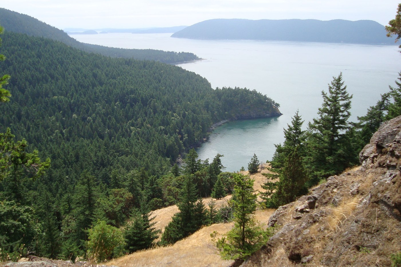
Our favorite walk on Cypress Island is the short 1.3 miles from Pelican Beach up to Eagle Cliff. We return here year after year for the magic of the moss lined trail and the stunning vista some 750 feet above Rosario Strait.
Cypress Island is located north of Anacortes and southwest of Bellingham. The island is reached by kayaking, sailing, motor boating, or by private water taxi (search “San Juan island water taxi” for options). Cypress Island offers many miles of trails, though on most routes we feel screened from water views by the dense second or third growth thicket of trees.
Our route started at Pelican Beach near the northeast tip of Cypress. Today was fun because five hand crafted beauties from the “San Francisco Pelican Viking Fleet III”, for which the beach is named, were happily lined up along the shore.
At the trail head is a clean composting toilet. Up the stairs a short way are wonderful DNR information signs. There is no drinking water that we are aware of on the island.
The first third of a mile is up through the shade of second growth by the ghosts of Seuss-like nurse stumps. The turnoff to Eagle Cliff is clearly marked. Note this part of the trail is “closed from February 1 until July 15 to protect threatened, endangered, and sensitive species and habitat.” The dome spider webs that float in the sun among the branches is one unique feature of this walk, at least for us.
The trail bounces up and around moss covered bedrock, salal, oregon grape, madronas and cedars until you reach the cliff, which drops some 70 stories down to Rosario Strait. From here you can look down on the birds soaring below.
The trail is in good shape. While most people likely go up in just flip flops, we recommend at least tennis shoes. Near the top is a fallen tree across the route that is too high to go over and too low to go under, so hikers are making a new path around it.
Back down at the trailhead, we were treated to the sight of the Hawaiian Chieftain and the Lady Washington anchoring off Pelican Beach.
“Before you go”
More photos from our trips up to Eagle Cliff
http://seattlewalks.blogspot.com/2011/08/eagle-cliff-cypress-island-photos-links.html
*
Excellent DNR trail system map for Cypress Island:
http://www.dnr.wa.gov/Publications/eng_rms_cypress6_05.pdf
Also by DNR:
Birds of Cypress Island (318KB PDF)
http://www.dnr.wa.gov/Publications/amp_na_cypressbirds.pdf
Wild Plants of Cypress Island (538KB PDF)
http://www.dnr.wa.gov/Publications/amp_na_cypressplants.pdf
*
http://en.wikipedia.org/wiki/Cypress_Island
*
Fun article on the Pelican Viking Fleet III:
http://www.duckworksmagazine.com/07/designs/pelican2/index.htm
*
Helpful article on how one person got to Cypress via a water taxi:
http://barrybrower.org/cypress.aspx


Comments