Trip Report
Emmons Moraine, Glacier Basin — Wednesday, Aug. 24, 2011
 Mount Rainier Area > NE - Sunrise/White River

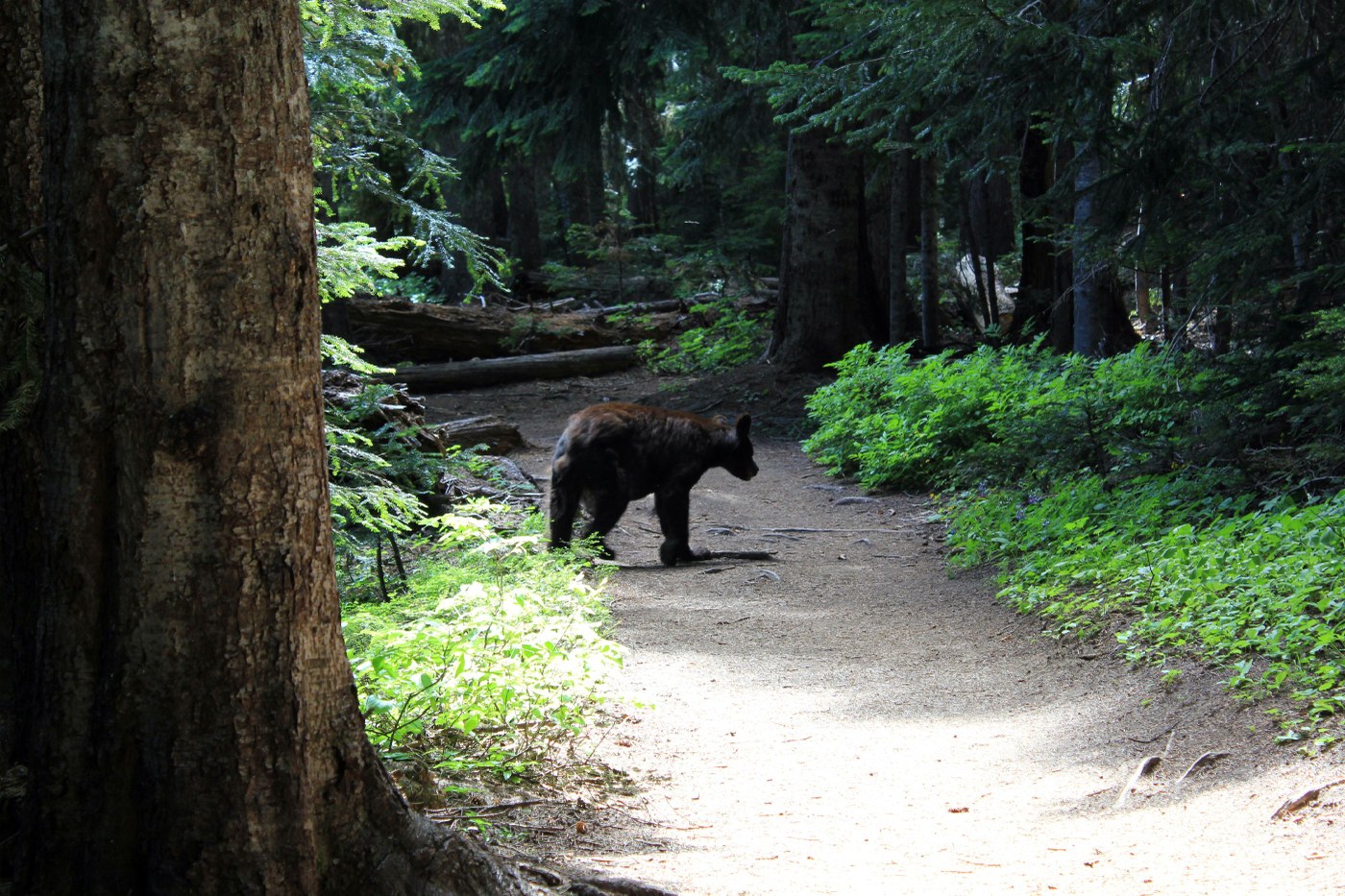
Mr. Bear “on the trail” was the highlight of the day and certainly ranks as one of my most memorable hikes. There has been plenty of discussion regarding bears on this trail but little did I think I would be greeted by Mr. Bear casually walking towards me on a slight curve in the trail as I was descending down the trail. As we both met eye-to-eye he leisurely veered off the path into the brush and trees to make a half circle past me and then join the trail again. He gave a quick look towards me as he stepped back onto the trail and continued on his way as if he did not have a care in the world. It was quite amazing and a relief that he decided to circumvent me while I was standing on the trail. Today it seemed life was good for Mr. Bear in his unhurried, easy-going way.
Now for more trail report details - the trailhead starts in the White River Campground on the west side of Loop D. Parking for hikers and climbers is in the middle of the campground area. Once parked, walk west and pass one of the restored cabins used in this area years ago. A trail sign marks the start of the trail.
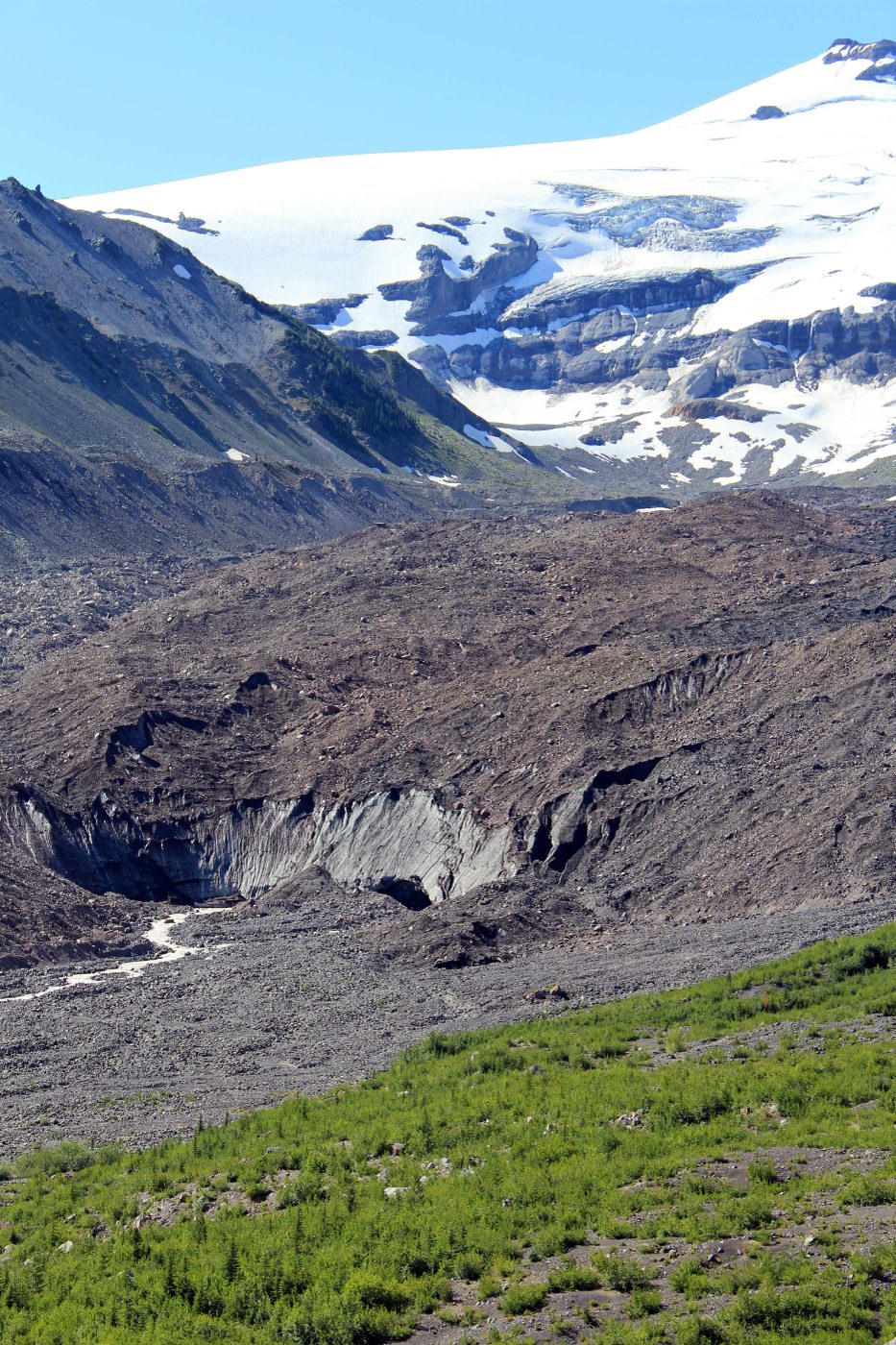
The Emmons Glacier is the largest glacier on Mt. Rainier and in the contiguous US. This was the enticement to check out the Emmons Moraine and Glacier Basin trails. Within a mile on the trail, a sign marks the Emmons Moraine trail to the left which descends down to the rushing waters on the Inter Fork – a nice log bridge is in place to provide the crossing. This short half mile, one way jaunt to the view of the Emmons Moraine which includes views of Mt. Rainier is well worth the side trip.
Ready to move on, return the same way back to the Glacier Basin trail. The trail is a nice, wide trail that moves in and out of the forest with many wildflowers in the meadows and at many of the creeks/small waterfall crossings. There is no snow on the trail. Animals seen on the trail besides Mr. Bear was a frog at one of the water crossings, a speedy little vole (I think), and a chipmunk.
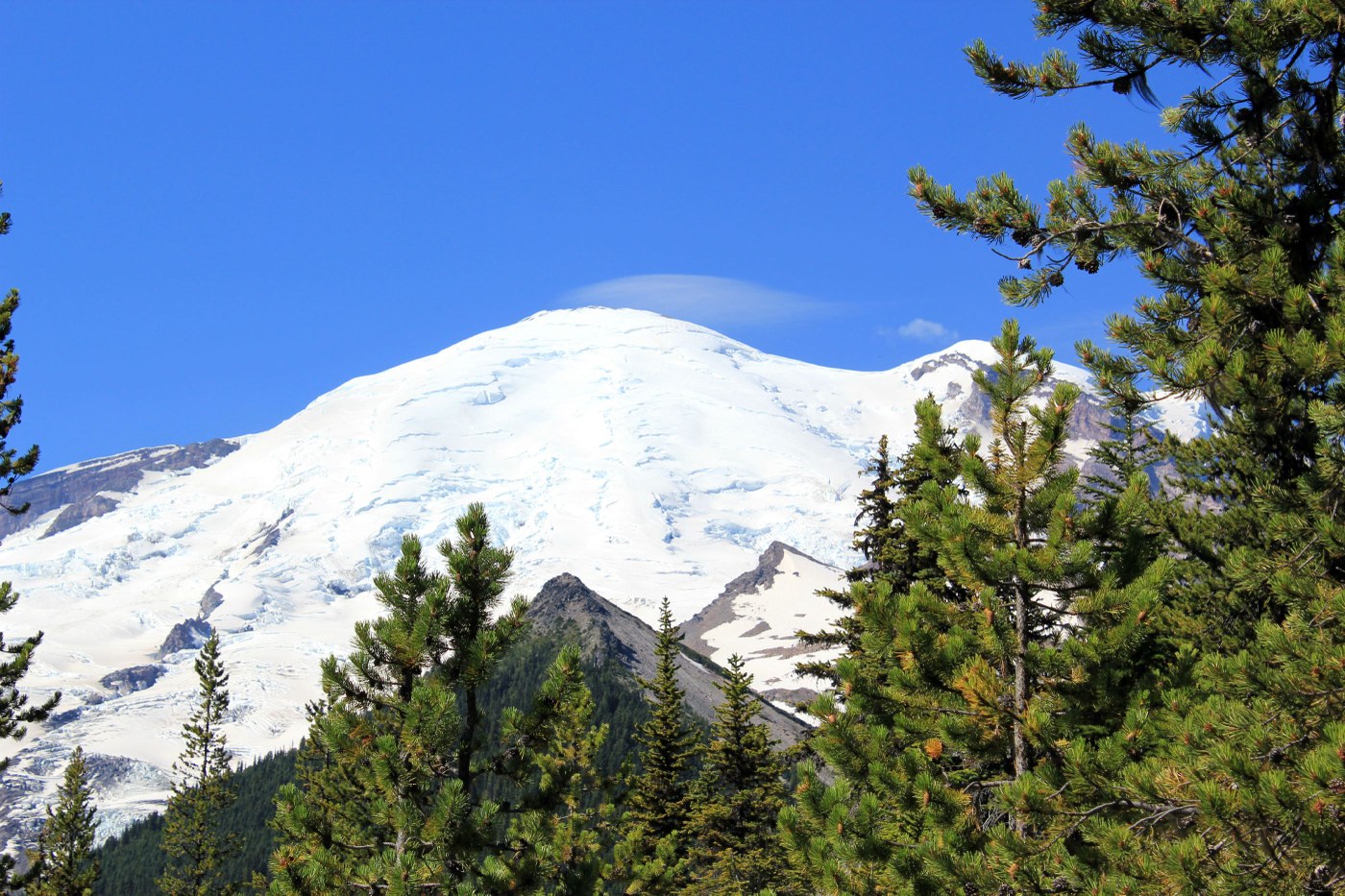
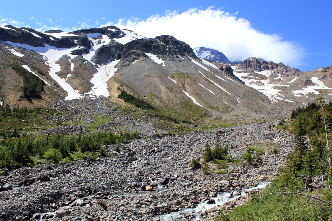
Some mining equipment is along the trail as explained on the interpretive sign located at the beginning of the trail. At 2.5 miles, there is the option to take the Burroughs Mountain trail. Otherwise, continue to Glacier Basin as the trail begins to climb more steadily for less than ¾ of a mile. There were many wildflowers and the meadows very green. The trail peaks at around 5,900 ft and then passes through Glacier Basin Camp. A ranger was setting up for the night and advised that bears had been frequenting the area. Signs were posted. Hike past the camp to enjoy the expansive views of Mt. Rainier, whose top was now somewhat covered, Mt. Ruth, The Wedge and the meadows. A sign is posted at this point advising the trail is no longer maintained. Those wishing to climb Mt. Rainier continue on to Camp Schurman. Don’t be surprised to meet climbers intent on climbing Mt. Rainier; today I met three guys returning from the mountain.


Comments
Posted by:
wendoger on Aug 14, 2012 06:00 PM