Trip Report
West Fork Foss River and Lakes, East Fork Foss - Necklace Valley — Friday, Jul. 18, 2014
 Central Cascades > Stevens Pass - West

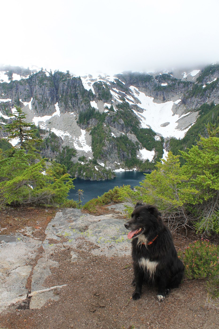
We attempted to hike the loop, starting at West Fork Foss and ending at East Fork Foss, going off trail from Big Heart Lake to Opal Lake. We allotted 2.5 days and brought my border collie mix. This was all a bit unrealistic and we only made it to Azurite Lake - out and back via West Fork Foss.
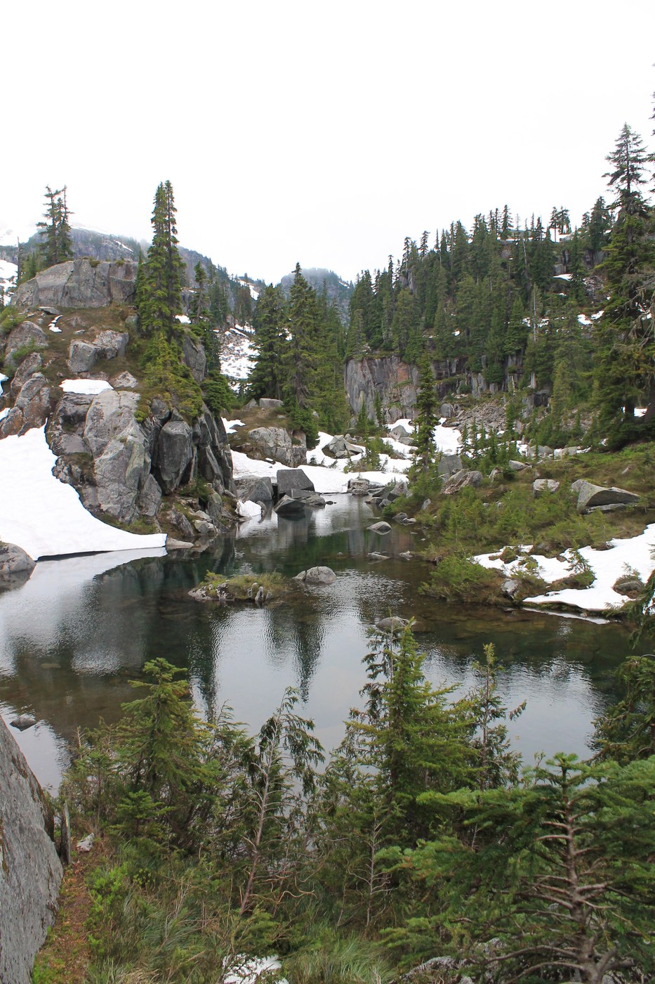
OFF TRAIL CONDITIONS: in the rain, the off-trail portion of this route gets very slippery and dangerous. Much of the off- trail route is steep, very brushy, and a bit cliffy in places. If there's snow (and there was past Big Heart Lake), traction and an ice ax would have been helpful, though weren't necessary. Most of us had poles. The snow right now is very sketchy/snow bridges, post holing etc!
CAMPING: as expected, there seem to be limited spaces to pitch a tent, especially more than 1 tent, in the backcountry portion of this loop, between Azure lake and Iron Cap Pass/Tank lakes.
GPS/ROUTE finding: route finding can be a challenge, we averaged 1 mile/hr at most.
DOGS: I would NOT recommend bringing a dog past where the trail ends. My border collie mix did not have any trouble, but I would not bring him again or recommend bringing a dog to anyone else. We had to hoist him up some rockfaces in a few spots.
BUGS: Lots of bugs until Big Heart Lake, after which they were minimal.
Loop Trail description:
The West Fork Foss Trail to Big Heart is snow free and well maintained. We arrived Friday afternoon and camped at Little Heart Lake - multiple campsites and a toilet are on the other side of the lake outlet.
Day 2: Past the outlet of Big Heart Lake, a trail exists, though is sometimes harder to follow. There was a nice campsite a little past the outlet overlooking the lake. We followed the ridgeline between Big Heart and Angeline - which was slow going - We averaged about 1 mile/hour. There were large snow patches, some steep. Also since the snow is melting, large areas were very sketchy - post holing with dangerous boulder fields or running water underneath. After the ridge, we descended to the outlet of Little Chetwood and crossed the river. This was a relatively easy descent, however on the way back we followed the lakeshore to Chetwood and ascended via a steep cliff/ridge on the north side of Chetwood Lake following some cairns - definitely do not recommend this route and these cairns should be taken down! I don't think it would even be possible to go down this way. Instead ascend/descend the northeast side of the ridge above of Little Chetwood.
Once across the outlet of Little Chetwood, the area gets very steep, brushy, and there is either no trail, or it is very easy to lose. Apparently this is the case for most of this area until Tank Lakes. Areas where you can pitch a tent are limited, and space for more than 1-2 tents is very very limited/not available. Our route had us passing Azure Lake and then following the lakeshore of Azurite lake, heading south/southeast to Iron Cap pass and then northeast to Tank lakes. However, we ended up on top of a ridge after Azure Lake, looking down at Azurite, instead of on the lakeshore of Azurite. It was pouring, 6pm and the trail was getting too slippery to continue. With our location and slow progress, we didn't think we could successfully hike out the rest of the loop on day 3. Some of us were low on food supplies for a potential 4th day and had work on Monday, I had sprained my ankle somewhere around Azure Lake, and another member in our group had some crazy blisters, so we backtracked, camped on a ridge above Azure lake and then hiked back out via West Fork Foss on day 3 (a long day).
This was a beautiful hike and we had a blast until it started pouring - we hope to return with better weather, later in the season (no snow), no dog, and a little more preparation in terms of waypoints on our GPS. If we attempt the loop again, we would plan for 4 days - but try to do it in 3 full days. We met two experienced hikers around Big Heart who had done the full loop in 3 days, but they said it was rough, long days, and they were pretty scraped up.


Comments
Foss Lakes Loop
for getting to Azurite, sounds like you missed the "key ledge" as stated in Fred Beckey's book of High Alpine Routes. The only true way to enjoy the loop hike, take 5-7 days, and a boat. Much more enjoyable to row across a lake rather than hike around it.
Posted by:
twoamuse on Aug 20, 2014 09:01 AM
zimmertr on West Fork Foss River and Lakes, East Fork Foss - Necklace Valley
Hi, any chance you or OP could share their intended (or actual) GPS tracks? It would be much obliged.
Posted by:
TJ Zimmerman on Jun 28, 2019 12:40 AM
gps tracks
our first loop trip in this area was 1997, and we didn't have a GPS. Just compass and map. We've since done several variations of this loop (in/out via Trout Lake), and have yet to use a gps. If you are experienced in routefinding and backcountry travel,you should have no problems finding the route. on a side note, take an inflatable boat to get around Otter Lake, or to explore all the lakes. Much more relaxing way to get around/explore a lake.
Posted by:
twoamuse on Jun 28, 2019 05:28 AM