This is one of the most beautiful places along the I-90 corridor. The access road has multiple potholes but no serous axle breakers. The first 2.8 miles of trail are relatively flat and in very good condition. After an easy creek crossing the trail gets moderately steep with rocks, roots and mud. This section gains 1300 ft in 1.2 miles. Rachel lake is at 4 miles. It is relatively bug free and just warm enough to swim in. Skirt around the east end of the lake on a moderately steep and somewhat rocky trail up to Rampart ridge. Rampart lakes are to the left. Today I went right to Lila Lakes and Alta Mountain. The trail to Alta is obvious but unmarked and takes off to the left about 1/2 way to the first Lila lake. That would be my return route of a mini Alta Mountain loop that I discovered.
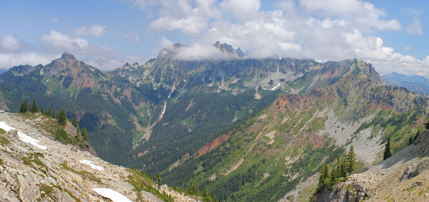
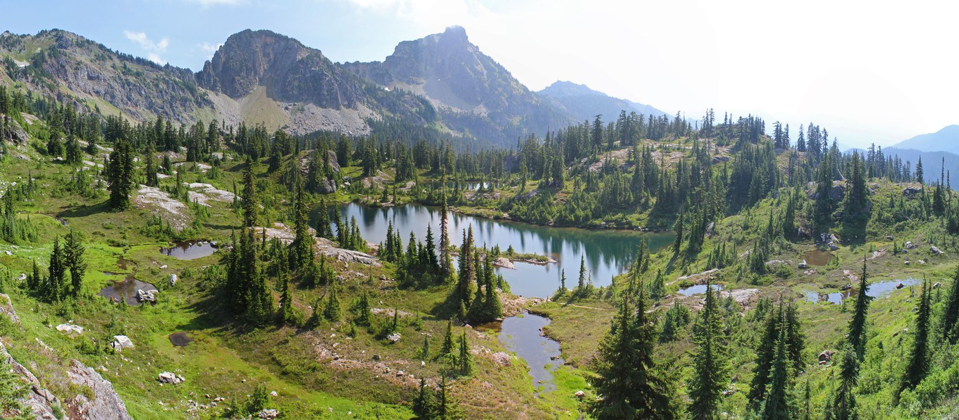
I discovered a beautiful trail to the upper Lila Lakes basin which is located just east of Alta mountain. The somewhat faint but easy to follow path starts on the north side of the first Lila Lake tarn that you encounter. It goes up a series of steps, each with its own beautiful small lakes and tarns. The terrain is stark and rocky. I suspect that snow lingers here until mid summer but it is currently snow free. Eventually you reach a pass with a perfect framed view of the Chikamin mountain range. If you want to do a non-technical scramble up to Alta mountain then take a short well worn path to the left at the pass. The trail poops out after a hundred yards. I initially tried a route just south of here but it was narrow and had fatal exposure above some granite cliffs so I bailed on that route. I instead took the much safer route just to the north of the cliffy route. It goes steeply up a safe rock fall area then steep heather and small trees. The ridge of Alta mountain is reached just south of the main peak. The peak was in a cloud so I was very content with the view from the ridge. To the west is Gold creek. You can see the Kendall Katwalk and Red Mountain. If you look down to the bottom of Gold creek you get a birds eye view of a large avalanche blowdown that occurred a few years ago and was powerful enough to cross the creek and mow down trees up hill on the opposite side of the creek.
I returned on the standard Alta mountain ridge way path. It is moderately steep but straight forward. On the way down you get nice views of Rachel and Rampart lakes in the distance. The meadows on the lower portion of the Alta mountain way trail are lush and have nice flowers.
A swim in Rachel lake is mandatory on a warm day. The water was cool and refreshing. The final flat 2.7 miles always seems to take forever after a long day of hiking.
11mi RT. 3500 ft elevation gain.
Bugs not bad at Rachel Lake.
Lots of mosquitos at Lila Lakes and Alta Mountain.


Comments
Thanks
Thanks for the write-up and great photos! You inspired me to visit, and I'm quite happy with my decision :)
Posted by:
MikeOnAHike on Sep 08, 2014 11:15 PM
Thanks x2
Another "thanks" for the nice write-up and the very nice photos!
Posted by:
mofo83 on Sep 09, 2014 02:59 PM