My goal today was to enjoy the views from Absolute Last Promontory on the trail up Green Mountain in the Middle Fork Snoqualmie Valley. This was my first time on this trail. Not very many people know about this trail yet. There are actually 3 different ways to get to the Green Mountain road trail. I chose the shortest and most scenic route along the Sitka Spruce trail.
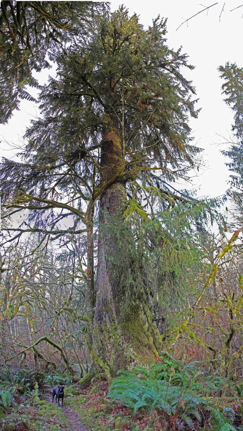
The unmarked trailhead is 5.3 mi from the beginning of the Middle Fork Rd. It is located just a few feet beyond the big cement bridge that crosses the Middle Fork River. The trail steeply drops 30 feet to wetlands just north of the Middle Fork River. Cross a rotting log bridge over a muddy tributary and enter into a beautiful old growth forest remnant consisting of Spruce, Hemlock and Large moss covered Big Leaf Maple. I measured the largest Spruce at a circumference of 26' 8" (8.5 ft diameter). Old growth ends at 0.3 mi and the trail starts climbing. After 0.5 mi it is all small 2nd or 3rd growth trees the rest of the trip. The trail takes a pleasant route along the top of a ridge. I did a little off trail scramble to see an old growth remnant in the valley just south of the trail that I saw on a satellite image. It was definitely not worth it. Too much brush and the trees were not that impressive.
At 1.5 mi the trail intersects with the CCC road/trail. Turn right and you will see the continuation of the trail on the left in just 30 feet. In about 0.2 mi you will intersect with the Green Mountain road/trail. Turn right. This road trail looks like it was very recently decommissioned. There are several large berms to divert water and discourage wheels. This section of the trail is rocky and in some places pretty eroded by water running on the road surface. This part is actually pretty ugly. At 2.6 mi a creek is crossed. I filled my water bottle here. This is the only available good water on the route. At 3.3 mi is a fork in the trail. Go right to get to the promontory. The left fork apparently give access to the south peak of Green Mountain (see attached map). At 3.4 miles there is a first view point but continue on to 3.5 mi and the better views at the Absolute Last Promontory. This talus slope gives a 180 degree view of the lower Middle Fork valley. Mailbox and Zorro peaks are straight across the valley. Continue on for another 0.1 miles to get a very nice view to the northeast with Garfield in the center of the view. To get a clean view you have to scramble downhill 30 feet to the top of a boulder field. The last 0.1 mi of trail were very overgrown. I cut back the bushes to make the route less difficult.
The road trail needs a little tlc. The biggest problem is water running on the road surface. The berms are very helpful but I think that a couple dozen more water bars are needed to prevent loss of tread. As always, I did a little trail work by removing rocks and branches and cleared some clogged waterbars.
Round trip 7.3 mi and 2200 ft elevation gain. There was no snow at all.


Comments