We were looking for a dog-friendly hike on the northeast side of Mount St. Helens when I saw this hike described in the new "Day Hiking Mount St. Helens" by Craig Romano & Aaron Theisen (Hike 47).
The drive from Vancouver to the trailhead is not far in miles, but the slow, winding, rough and slumping roads (although paved) mean it takes about 2.5 hours to get to the trailhead. If you are intending to do this day hike, leave early and plan on returning home late. We drove north from Vancouver to Woodland, east on SR 503 through Cougar and continued on Forest Road 90 along Swift Reservoir to Pine Creek. We made a restroom stop at the Pine Creek Information Center, then turned north of Forest Road 25 for 25 miles, then west on Forest Road 99 for 4.6 miles to the Bear Meadow Viewpoint (restrooms available).
We started the hike from the viewpoint parking lot (NWFP required) by crossing Road 99 and heading west on Boundary Trail #1. Almost immediately, we came to a view of Mount St. Helens far better than the one from Bear Meadow. The trail climbs up a draw in oldgrowth forest to an unmarked junction in .5 mile. We turned right onto Strawberry Mountain Trail #220.
The trail has been neglected and is in danger of being abandoned, which would be a shame since most trails in the blast zone are closed to dogs. I strongly recommend that WTA put this trail into its 2016 maintenance program. It's a wonderful hike, but the trail needs brushing, some tread repair in a few spots, and logging out. Of approximately 30 logs across the trail, only about 6 are big and challenging crosscut jobs; the remainder could be easily handled with a bucking saw.
The trail climbs steadily and steeply along a ridge above the headwaters of Wakepish Creek through beautiful oldgrowth forest. After about a mile, the grade lessens as the trail traverses the east side of Strawberry Mountain. Occasional windows through the trees provide glimpses of Mount Adams, the Goat Rocks and Mount Rainier.
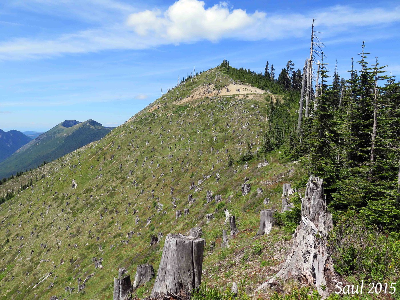
At 1.9 miles, the trail crests a knife-edge ridge. We were standing on the demarcation between the volcano blast zone and primeval forest, with our first views of the Green River valley to the west and first glimpse of Strawberry Mountain Lookout site ahead.
The stumps below were left from post-eruption salvage logging. The salvaged areas were not replanted, so the forest is returning naturally, but slow enough that the views still are outstanding. For the next .3 mile, the trail climbs along the ridgecrest, with views east and west, arriving at an unmarked junction in a small saddle. The right fork is the continuation of Strawberry Mountain Trail #220. The left fork goes to the former fire lookout site.
The trail climbs a steep, pumiced slope, passing some old propane tanks, to reach the summit and former Strawberry Mountain Lookout site, where a lookout tower stood from 1931-1967. We took a long lunch break here while we looked at the 360-degree view. A bald eagle flew overhead and we found ripe wild strawberries for which the mountain is named.
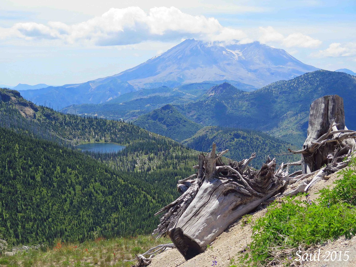
To the south, we could see Strawberry Lake and into the crater of Mount St. Helens where Crater Glacier is wrapped around the lava domes. (We always carry binoculars for a better view.) We also could see Loowit Falls where the melting glacier water comes out of the crater.
To the west, we looked at the Mount Margaret Backcountry across the valley. Grizzly Lake barely was visible and we could see the cirque basins of several other lakes. We looked directly down the glacially carved Green River valley, with Goat Mountain to the northwest. If Ascot Resources ever succeeds in developing a copper mine on Goat Mountain, this location will provide a ringside seat.
Turning north, we looked down Quartz Creek valley and could see the Quartz Creek Big Trees rising above the surrounding second-growth forest. Mount Rainier stood above the continuing northward spine of Strawberry Mountain, which is a long ridge. To the east, we looked across the peaks and valleys of the Dark Divide Roadless Area to the Goat Rocks and Mount Adams. We could see Mount Hood and Mount Jefferson in Oregon, and perhaps the faintest glimmer of the North Sister on the south horizon.
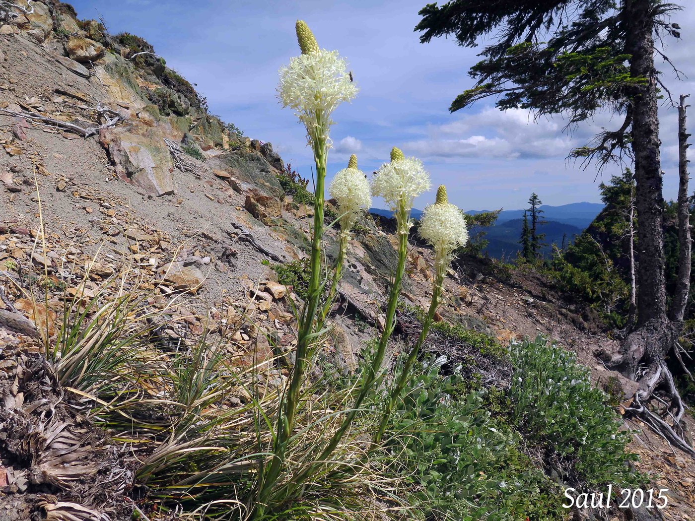
As we turned to hike back the way we came, we looked down into the valley below us where a small stream started on the west slope of Strawberry Mountain, and saw several cow elk with calves. Quite a few wildflower species were blooming along the trail, both on the open slope in the blast zone, and in the deep forest.
Needless to say, we did not encounter any other hikers on this trail.


Comments