Southeast Ridge
Road is rough but passable. A majority of the people in the parking lot had high clearance vehicles, but I was able to make it in a small 2006 sedan. Creek crossing is not too bad if you gun it. It does take forever in a low clearance vehicle because the potholes are big and consistent once you're on the dirt.
Trail is well marked until Cathedral Pass, rising through the forest in large, moderate switchbacks to Squaw Lake and further on to the flat below Cathedral Rock. From there you descend slightly and take a rough trail under the west side of Cathedral toward Peggy's Pond. The trail is difficult to follow in current conditions, with melting snow and thick brush between the ponds and the start of the climb. First you encounter a small pond, then a short hike through trees and along a creek, and then Peggy's Pond. Aim for the snow covered hill directly to the west of Peggy's. If you venture into the glacial cirque you have gone too far. The northern side of this hill is more moderate than the side facing Peggy's.
From here you climb steep snow slopes and rock paths to eventually gain the ridge (picture 1). An alpine start is useful for crampons on the firm snow, but you will probably put them on and take them off 5-6 times during the day. The climbers trail should be faintly visible in the snow and on the rock.
In general stay to the left of the ridge crest and avoid the snowfield below, climbing several sections of steep rock in order to pass Point 7662 (see picture 2). There is a choice here between a rock slab with a bad runout on the right, or a steep snow slope (right up the middle). I went up the snow since it was still firm at 8:00 AM, and at least you can self arrest if you fall.
You should see the East Peak (marked simply as 'Daniels' on topo) and the faint climbers trail that traverses the snow slope on it's southwest side. This is a fairly steep slope with a 1000 + feet of exposure, so an ice axe is very useful here. Getting across early in the morning with crampons wasn't that bad, but if you fall you will fall a long way (picture 3 - looking back the way I came).
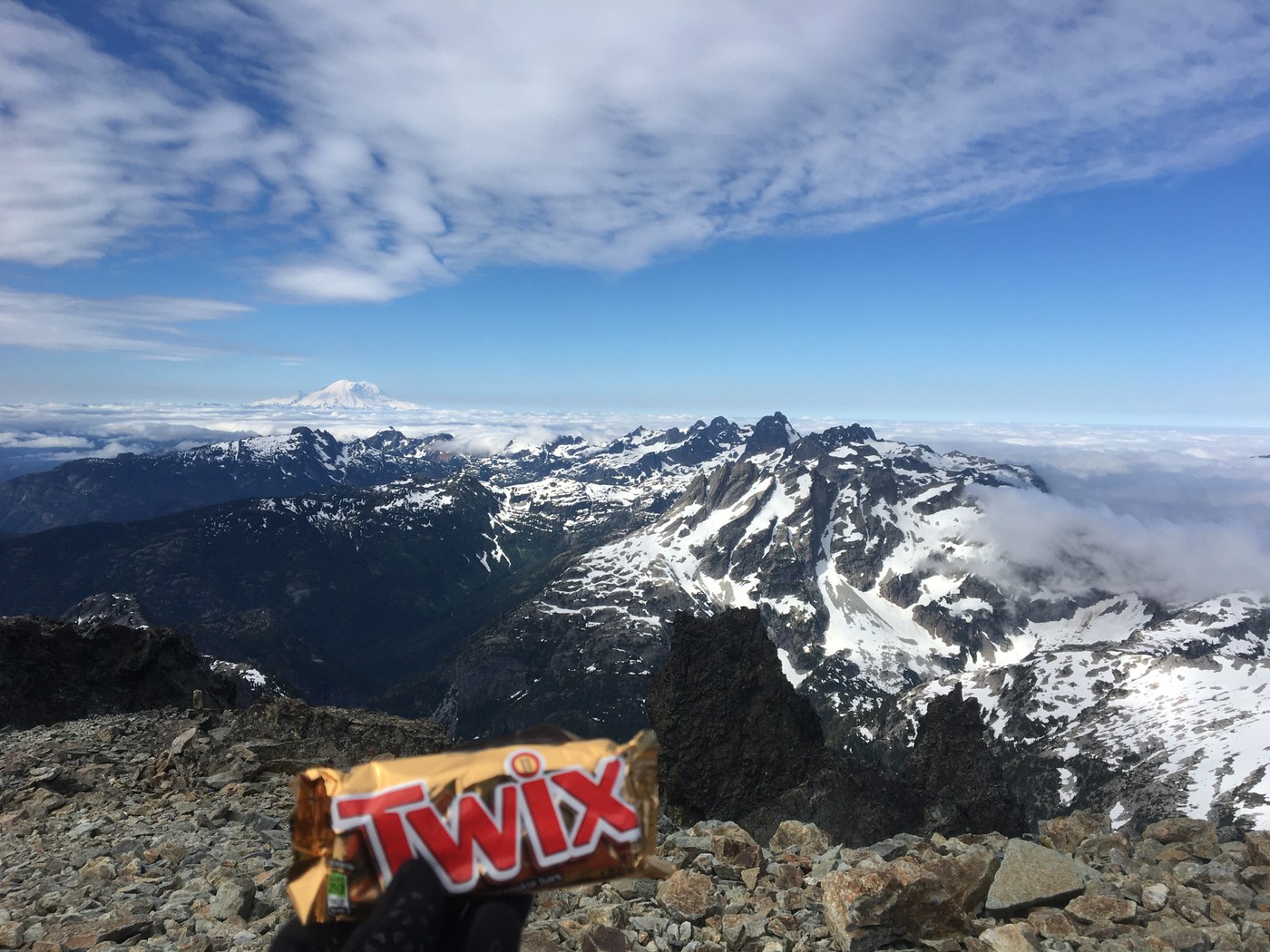
The terrain between East and West summit is fairly straightforward - traverse across the snow to reach the saddle (excellent views here) and climb to the rocky terrain just beneath the summit. The true summit is the highest of the rock spires (class 3).
Notes: Mosquitos on the way down were terrible, bring bug spray. I camped in a tiny flat about 200 ft above Peggy's Pond, at the base of the snow climb. A small meltwater tarn is the last place to filter water before the climb. From this point to the summit is about 3.5 hours - if you are the first person across the traverse then you will be kicking out steps in the snow and this takes a while.


Comments