Trails for everyone, forever

Home Go Hiking Hiking Guide Arlington Airport Trail
link

Arlington Airport Trail

Puget Sound and Islands > Bellingham Area
48.1665, -122.1509 Map & Directions
Length
6.0 miles of trails
Elevation Gain
0 feet
Highest Point
115 feet
The view from the Arlington Airport Trail. Photo by wafflesnfalafel. Full-size image
  • Mountain views
  • Dogs allowed on leash
  • Good for kids

Parking Pass/Entry Fee

None

A suburban walk around the Arlington Airport with forest, mountain and airport views and interpretative signage. Continue reading

Rating
3.50 out of 5

(2 votes) Log in to rate

Hiking Arlington Airport Trail

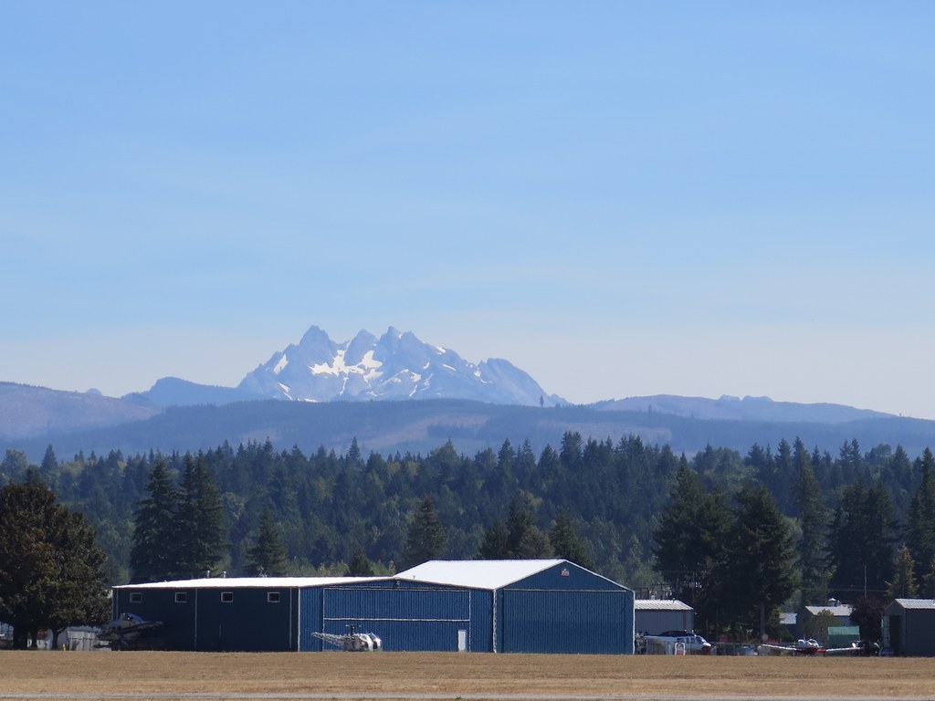
The Arlington Airport Trail is a combination of gravel and paved dedicated pedestrian trails running the perimeter of Arlington airport with a several additional routes in the forest and field areas on the southwest corner. Dogs are allowed on leash and there are scoop kiosks available along the trail. 

Most major trail junctions here are well marked with signage, so don't miss the historical interpretive signage explaining Arlington airport's history and significant role in training World War Two Pacific theater carrier pilots.  

The western side is more wooded while the eastern side is more industrial.  Do the whole loop or just the part that most interests you.

Arlington Flyin information

No trail passes are needed at any parking location.

Hike Description Written by
Erik Morgenstern, WTA Correspondent

Arlington Airport Trail

Map & Directions

Trailhead
Co-ordinates: 48.1665, -122.1509 Open in Google Maps

Before You Go

See weather forecast

Parking Pass/Entry Fee

None

WTA Pro Tip: Save a copy of our directions before you leave! App-based driving directions aren't always accurate and data connections may be unreliable as you drive to the trailhead.

Getting There

To access the main airport entrance, take exit 206 from I-5 and head east for a little more than a mile. Turn north on 59th Street. The main airport entrance on the left in a half mile. Bill Quake Memorial Park is on the right a quarter mile further. Bill Quake Memorial Park and Evans Park have restrooms in season, found along 59th Ave NE at 188th.

Other access points include:
A small lot off Cemetery Road just east of 51st Dr NE on the very north side of the airport. This lot has no facilities.

A small lot off Bjorn Road just east of Airport Blvd. This lot has no facilities.

Along the west side of the airport on Airport Boulevard, there are several smaller paved turnouts with space for 3-4 cars.

No trail passes are needed at any parking location.

More Hike Details

Trailhead

Puget Sound and Islands > Bellingham Area

City of Arlington

Guidebooks & Maps

Hiking Snohomish County - Ken Wilcox

You can improve or add to this guidebook entry

Arlington Airport Trail

15 Trip Reports

Hiked here recently?

Submit a trip report!
 
Trip Reports