
In spring, due to the popularity of this trail, a permit is required for each person hiking the trails on Augspurger or Dog Mountain on weekends. Note that parking is limited at the trailhead. The spring hiking permits are required in addition to a parking pass. Having a hiking permit does not ensure a parking spot.
The Augspurger Mountain Trail offers a great loop option to the popular Dog Mountain Trail. The two trails share the same trailhead, but the Augspurger trail heads off to the west, while the Dog Mountain trail heads east.
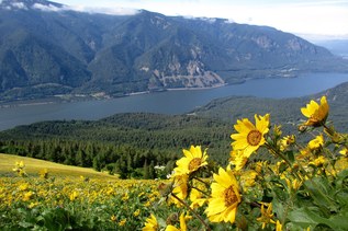
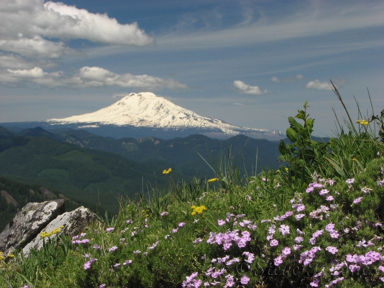
The way is more gentle, and a 1.5-mile connector trail links the two together. Along the way, enjoy bouncy balsamroot blooms in May and fantastic views of the Columbia River Gorge, Mount Hood and more all year round.

 Trailhead