
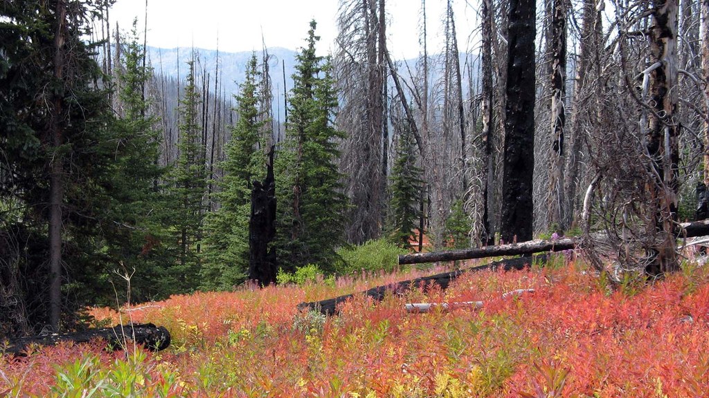

From the trailhead (elevation 5750 feet), the trail begins on the edge of a silver forest, with lots of flowers and bees in the early summer. As the trail does a gradual climbing traverse, young pines start dotting the landscape. By the time the first creek crossing is reached a half-mile in (elevation 5940 feet), the pines are dense and encroach on the trail. The silver forest is gradually falling, requiring lots of maintenance work, evidenced by the large number of cut logs.
As the trail continues up, it crosses creeks a couple more times and skirts a large marshy meadow. The low vegetation covers holes and small downed logs, making uneven footing. This difficulty is offset by the pockets of mature forest and small meadows with a riot of color in summer and fall.
At 1.5 miles (elevation 6380 feet), the trail steepens as it climbs away from the creek and toward the old cabin site. A somewhat dilapidated signboard marks the site of the cabin, at 1.8 miles (elevation 6640 feet). The old miner's cabin and other wood structures are long gone, but in a few places find the rusted metal remnants of the mining activity.
The mines are about 200 feet higher on the hillside. Access is essentially cross-country over downed logs, through brush, and over or around rocky outcrops. As of 2018, the trail above the cabin site is marked with orange diamonds, small cairns, double blazes (chainsawed), and cut logs. The general direction is 0.2 mile north, then 0.6 mile north-northwest. These general directions do not describe all the minor wandering of the trail through this area.
The trail climbs out of the burn zone into an area with minimal fire impact and pockets of trees. In the forest area, the trail is easily followed, whereas in the meadow and grassy areas, routefinding is difficult; the cairns can be hidden by the tall grass. While climbing up this, the views improve across the valley and up to Tiffany Mountain.
At 2.6 miles, (elevation 7350 feet) take two short switchbacks and then the junction with the North Summit Trail. From this point, there are at least four options. The easiest is to hike back down to the trailhead.
WTA Pro-Tip: A loop with a two-mile road walk can be completed by turning north to Whistler Pass and out the Freezeout Ridge Trail, with or without going up and over Tiffany Mountain. The trail south can be explored toward the Clark Ridge Trail, although south of the junction the North Summit Trail can be difficult to follow. Lastly, Clark Peak can be reached via a cross-country climb through the steep meadows.
 Trailhead


