
The West Boundary Trail is one of the remaining fragments of the historic Boundary Trail that allowed rangers to patrol the perimeter of Mount Rainier National Park. Now an out-and-back, the trail is moderately popular despite its brutally steep grade. The lush rainforest, delightful cascades, and potential to add a summit to the day give this hike reason to investigate.
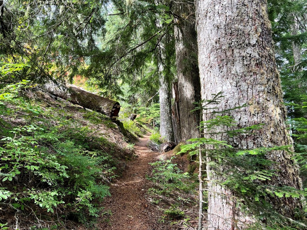
Begin at the Carbon River Rain Forest Nature Trail, where two trails diverge. Take the right fork and cross a clear creek beneath cedar, hemlock, and Sitka spruce of impressive size. The old puncheon boardwalks have been damaged by wind-thrown trees and can be tricky when wet. Soon the West Boundary Trail sign appears.
Leave the Rainforest Loop at the broken bridge and turn right. The trail zig zags relentlessly uphill, passing between the national park and the national forest. The park is marked by densely spaced, moss-laden trees of different ages. The national forest is a second-growth museum of old, large stumps between evenly spaced, equally mossy trees.
The trail is wide and in generally good condition, the only aspect of note being the steep pitch. The tread is soft with forest duff and occasionally uses stones or roots for steps. At 1.3 miles, the trail comes to an unnamed creek with a waterfall both above and below the trail. Cross carefully, as the creek bed is slick and tilted downslope. This makes a good turnaround point for those not wanting to try the crossing.
The trail now resumes its merciless climb toward Alki Crest. The way is noticeably rockier and narrower, with more roots and minor uneven footing to watch out for. The forest begins to open up a little, the large hemlocks now giving way to a monopoly of Pacific silver fir, which perfumes the air with its holiday aroma.
At 2.6 miles, the trail comes to the bottom end of and old landslide filled with boulders and slide alder. As such, the way avoids the mess and stays on the verge of the forest to the right of the clearing. Fortunately, the trail remains in the shade as it climbs even more steeply here to get around the slide.
After yet another short but grueling climb the trail finally eases into its last switchback. Now, at 3.0 miles, the ridge proper is mounted at a junction with the Florence Peak Trail. The old Boundary Trail appears to continue over the ridge but it soon fades into history as it descends toward Tolmie Creek. If time allows, turn left toward Florence Peak and add a scenic 1.1-mile spur trail to your day.

 Trailhead