

Mixed old-growth ponderosa pine and Douglas fir grassland provide a home for gray wolf, wolverine, lynx and a variety of birds. The lovely forest also provides an excellent place for hikers to spend a day wandering. The Clackamas loop from the Sweat Creek Trailhead is part of the Pacific Northwest National Scenic Trail (PNT), which traverses down the north side to Cougar Creek and connects to the Cougar Creek (#100) road. Getting to Clackamas Mountain itself is a side-trip from the PNT.
A network of trails loops out of the Sweat Creek picnic area. A 10-mile loop using Trails 302 and 301 is the most popular, but there are a variety of traveling options. Be sure to understand this mildly confusing group of trails, numbers and names, as getting down the wrong drainage is possible.
The trail system begins approximately 50 yards beyond the outhouse, past a wooden gate. The loop is easiest to follow if hiked counterclockwise. Once you get through the gate, turn right.
This trail stays low for the first quarter mile, then starts climbing towards the ridge. Within the first mile, there are great views of Fir Mountain, which lies just across Highway 20. There are also giant trees and a few standing snags, along with evidence of wildfires in the area. There are several minor blowdowns on the trail, but only one major blowdown, located along Sweat Creek in the last mile of the trail.
After the ridge is gained, amble a mile or two to the signed Hunter Spring. The cattle trails make a mess here, but by heading north (straight across the spring and angling uphill), you will find the intersection of 312 to the right (towards Maple Mountain) and 302 trending left. 302 will head uphill a little and then lose 400 feet to Spring Pass.
Heading uphill again, you will come to the junction of 302 (PNT heading north) and 301, Sweat Creek Trail heading south. 301 will take you uphill to Clackamas Mountain. The views aren't good at the summit, but as you descend, the ridgeline opens up. Expansive views to the west and south will entertain you. As you descend this open ridgeline, pay attention to your compass. Numerous fallen trees and meandering cows have obscured this old trail, and it is easy to head off the wrong way.
At around 3,900 feet, watch for the trail to trend leftward into Sweat Creek, still well below you. The old original trail, which many online mapping sources still show, goes straight down this increasingly narrow and steep ridgeline. Reaching Sweat Creek, you will be graced by a cool, verdant creek (your dog will be thankful for the plentiful water!). Walk downstream for a few minutes and you will be back to your car.
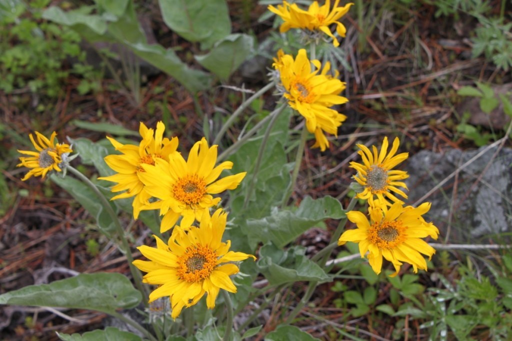
Spring is the best time to visit this area — there is a summer grazing allotment here, but the cattle are not in the area yet. The spring flowers are also one of the best features of this hike.

 Trailhead


