

Visitors can enjoy several loop trails. The shortest loop option is the Lake Loop Trail at 1.3 miles that crosses a foot bridge through a wetland. For a slightly longer outing, extend your hike to 2 miles by following the Wetland Forest Loop Trail, winding through the forest and past beaver dams.
Whether you come for birdwatching, wildflowers or a quiet stroll, Darlin Creek Preserve is a reminder of the power of local land conservation close to home.
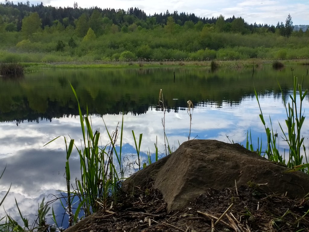
Along your hike, watch for wood ducks, kingfishers, frogs and warblers. Beaver dams shape much of the landscape, and rough-skinned newts often appear along the trail. The preserve’s network of creeks — Darlin, Dempsey and Pants — is vital salmon habitat, supporting steelhead, coho, cutthroat and Chinook. In spring, native wildlife flowers like western trillium, skunk cabbage, salmonberry and bleeding heart brighten the understory. The preserve also contains mroe than 100 acres of wetland, Lake Lucinda and over 200 acres of mixed forest, perfect for birdwatching or a quiet scroll.
Wetland Forest Loop Trail (2 miles roundtrip, clockwise)
The hike begins on an old logging road, which leads into the preserve. A few hundred feet in, there are two options: straight along the same trail or toward Lake Lucinda. Continue straight.
At 0.3 mile, continue straight past the trail junction with the Lake Loop trail. In 0.2 mile, cross a bridge over Darlin Creek. This bridge replaces an old culvert, reopening fish passage. A short spur trail to the right leads to a bench with views of a beaver pond and dam.
In 0.8 mile, after climbing and descending gently around the east side of the wetlands, cross a small creek near another beaver dam. There is a bench here. From here, the trail narrows into a more open part of the forest and goes slightly uphill before leveling out on an old railroad grade.
In another 0.2 mile, the trail comes to another trail junction. Continue straight through the forest to Lake Lucinda. There is another bench along this stretch as well. In another 0.2 mile, follow the trail to the right and descend a gentle path to Lake Lucinda. Follow the trail around the lake. Taking a left at the last trail junction will bring you back to the parking lot.
Lake Loop trail (1.3 miles roundtrip, clockwise)
At the junction a few hundred feet from the trailhead, head straight (not to the right toward Lake Lucinda).
In 0.3 mile, take the Lake Loop Trail to the right and descend to a foot bridge that crosses the swampy valley of the preserve. In another 0.3 mile, take the trail to the right and continue along the flat section of the trail through the forest. There is a bench along this stretch.
In 0.4 mile, follow the trail to the right and descend a gentle path to Lake Lucinda. Follow the trail around the lake. Taking a left at the last trail junction will take you back to the parking lot.

 Trailhead


