Trails for everyone, forever

Home Go Hiking Hiking Guide Deering Wildflower Acres
link

Deering Wildflower Acres

Puget Sound and Islands
48.0385, -122.1254 Map & Directions
Length
2.0 miles of trails
Deering Wildflower Acres. Photo by BabyH. Full-size image

A little piece of wilderness tucked away in the middle of civilization, originally established in 1968 as a survey site for Western Washington University. Now open to the public and maintained by the City of Marysville. Continue reading

  • Wildflowers/Meadows
  • Wildlife
  • Dogs not allowed
  • Old growth
  • Good for kids
  • Lakes
  • Fall foliage

Parking Pass/Entry Fee

None
Rating
4.00 out of 5

(6 votes) Log in to rate

Hiking Deering Wildflower Acres

Deering Wildflower Acres, named after Tam and Ivah Deering, was originally established 1968 as a survey site for biologists from Western Washington University. Here, they studied to determine, among other things, the effects of municipal development on the nearby natural environment. To help accomplish these goals, classes from the university and local schools would come to the Wildflower Acres to perform research on the local ecosystem. To ensure scientific studies were successful, the park was closed to the public. In 1996, Western Washington University deeded the park and its 30 acres to the City of Marysville. It is now open to the public until dusk.

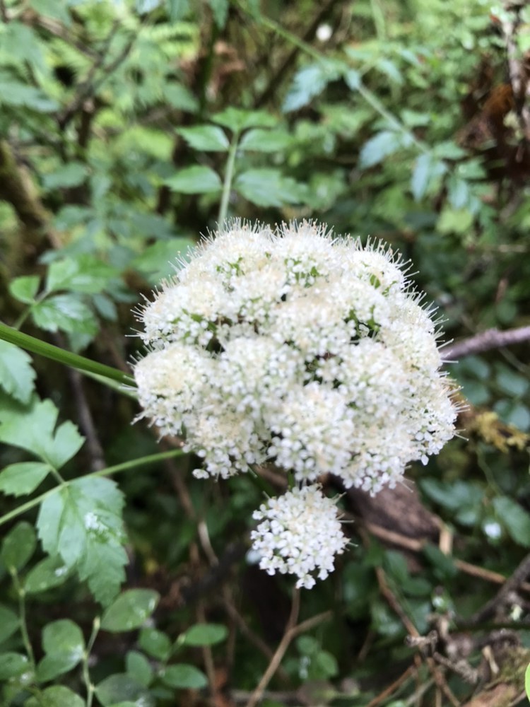
The park name was taken from the variety of wildflowers which the Deering's grew throughout the park. These included delicate trilliums, queen's cup, dog tooth violets, wild ginger, and yellow lupine. Markers have been placed and identify the trees growing throughout the park, including red alder, western redcedar, western hemlock, black cottonwood, and Douglas fir. The trails are also lined with red elderberry, devil's club, salmonberry, red huckleberry, and vine maple. 

The network of trails total up to two miles, with a few benches and viewing areas scattered throughout. The trails are well marked, and there is a custom made sign at every junction to prevent travelers from getting lost. In order to protect and maintain the delicate ecosystem, no food or dogs are allowed in park boundaries.

Deering Wildflower Acres

Map & Directions

Trailhead
Co-ordinates: 48.0385, -122.1254 Open in Google Maps

Before You Go

See weather forecast

Parking Pass/Entry Fee

None

WTA Pro Tip: Save a copy of our directions before you leave! App-based driving directions aren't always accurate and data connections may be unreliable as you drive to the trailhead.

Getting There

From Seattle, take I5 north to exit 199: SR 528 east towards Marysville. Turn right onto 4th Street. In two miles, turn right onto 67th Ave NE. Travel south for approximately two miles as the road curves and turns into Line Road, and then turn left onto 79th Ave NE. Drive .2 miles to the very last driveway on your left and park in the small lot in front of the caretakers building. Parking lot is small and can only accommodate approximately 6 cars. A portable restroom is available in the parking area, as well as trash cans and picnic tables.

More Hike Details

Trailhead

Puget Sound and Islands

Marysville Parks, Culture, and Recreation Department

You can improve or add to this guidebook entry

Deering Wildflower Acres

11 Trip Reports

Hiked here recently?

Submit a trip report!
 
Trip Reports