Garland Peak

-
 Length
- 10.4 miles, roundtrip
-
 Elevation Gain
- 3,550 feet
-
 Highest Point
- 7,400 feet
6.26.25: This hike is closed until further notice due to the Pomas Fire.
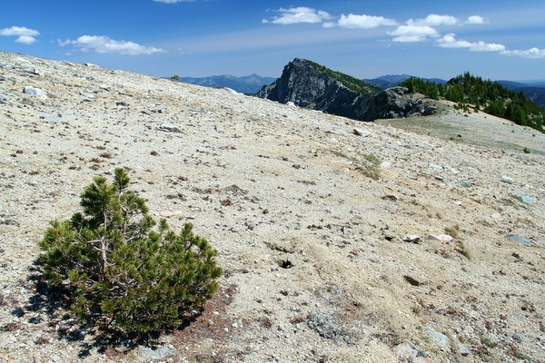

Hiking Garland Peak
Garland Peak
Map & Directions
 Trailhead
Before You Go
6.26.25: This hike is closed until further notice due to the Pomas Fire.
WTA Pro Tip: Save a copy of our directions before you leave! App-based driving directions aren't always accurate and data connections may be unreliable as you drive to the trailhead.