

Once you leave the large field in the Monte Cristo main townsite, cross a bridge and look for the sign for Dumas Street. This is an old street sign, from when the town site was populated. From the first switchback, look behind you; three cabins march off downhill. These properties are still privately owned, so look, but don't touch.
Besides, heading up Dumas Street is your destination, and there are interpretive signs to guide you along the way. The first three-quarters of a mile is fairly smooth ground mostly in the shade of the forest, though it does get a little steep. Don't forget to take a short downhill detour to see a large open area, the concentrator, which was five stories tall and processed the ore coming down from the mines above. More about Dumas Street and the Monte Cristo townsite can be found in brochure.
Back on the main trail, the final quarter of the first mile opens up and begins to get rough until you reach the first set of waterfalls to the left of the trail.
This is a great place to stop for lunch and do some exploring. The waterfalls are beautiful and with some moderate rock climbing you can get to some amazing viewpoints. However, in the interest of safety, those without rock climbing experience should take in the views from the trail.
From here the trail gets difficult, becoming rock scrambles for about one-half mile. About one-quarter of a mile later lies a glacier off to the left of the trail with an ice cave. Admire from afar, as there is no established trail to the glacier, and while the ice cave may be tempting on hot days, never enter it — ice caves are quite dangerous. Turn your attention to the right of the cave and take a look at a beautiful waterfall just to the right of the cave.
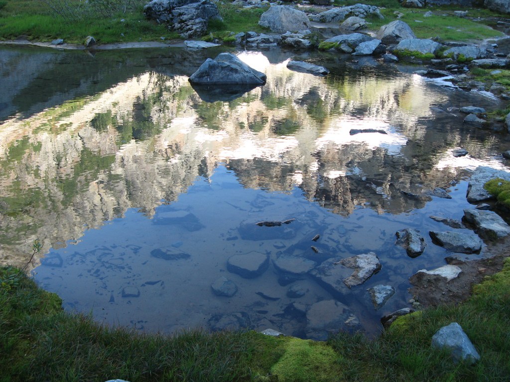
As you continue on the main trail, the steep, rough rock scrambles turn into a smooth, steep incline until you arrive at the basin where the way levels out slightly. There are some old gold and silver-lead mines that have been blasted shut and some campsites scattered around the basin. There is a lot of exploring to do in the basin and it is a beautiful area.
WTA Pro Tip: Leftover materials from the mine were cleaned up during summer 2016. That doesn't mean the water here is drinkable, though. It's a good idea to bring the water you'll need, and if you need to refill, bring filters or treat it before drinking. Note that most backpacking/hiking filters remove only biological hazards, such as bacteria and parasites. These filters do not remove heavy metals or chemical contaminants that remain from historic mining activities.

 Trailhead


