Trails for everyone, forever

Home Go Hiking Hiking Guide Jarrell Cove State Park - Harstine Island

Alert: On Oct. 1 the federal government began a partial shutdown that will impact National Parks, National Wildlife Refuges and U.S. Forest Service lands in Washington. Here's the latest information we have for hikers and campers


Jarrell Cove State Park - Harstine Island

Olympic Peninsula > Hood Canal
47.2829, -122.8851 Map & Directions
Length
1.5 miles, roundtrip
Elevation Gain
200 feet
Highest Point
175 feet
Calculated Difficulty About Calculated Difficulty
Easy
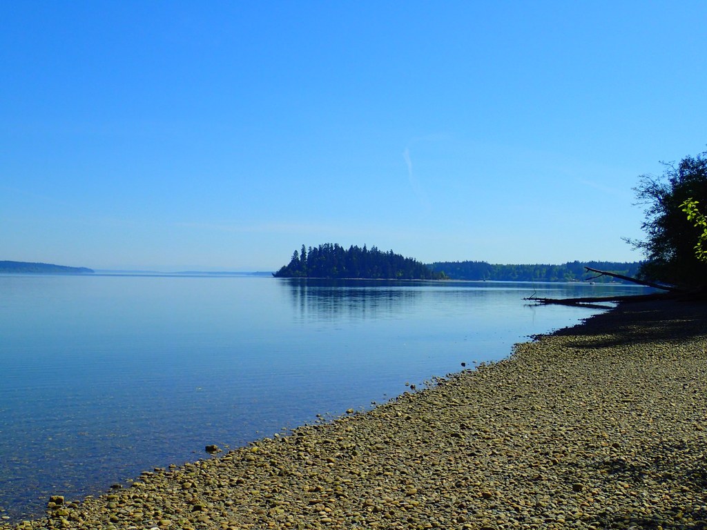
Photo by sasha627cz. Full-size image
  • Coast
  • Dogs allowed on leash
  • Good for kids
  • Old growth
  • Rivers

Parking Pass/Entry Fee

Discover Pass
Saved to My Backpack

Accessible only by bridge or by boat, Jarrell Cove State Park administers several small recreation areas, including Harstine Island, McMicken Island, Stretch Point, Eagle Island and Hope Island. Harstine Island is a day-use property with beach access via a half-mile trail; the other areas area all only accessible by boat. Continue reading

Rating
3.50 out of 5

(6 votes) Log in to rate

Hiking Jarrell Cove State Park - Harstine Island

Accessible only by bridge or by boat, Jarrell Cove State Park administers several small recreation areas, including Harstine Island, McMicken Island, Stretch Point, Eagle Island and Hope Island. Harstine Island is a day-use property with beach access via a half-mile trail; the other areas area all only accessible by boat. 

The park on Harstine Island is a water-lovers paradise, where you can swim and dive, then dry off and head back to your campsite. There is also an amphitheatre and a sports field, making this location a great option for a weekend with family.

Jarrell Cove State Park - Harstine Island

Map & Directions

Trailhead
Co-ordinates: 47.2829, -122.8851 Open in Google Maps

Before You Go

See weather forecast

Parking Pass/Entry Fee

Discover Pass

WTA Pro Tip: Save a copy of our directions before you leave! App-based driving directions aren't always accurate and data connections may be unreliable as you drive to the trailhead.

Getting There

From Shelton, drive State Route 3 east for 11 miles. Turn right on Pickering Road, following sign for "Harstine Island and Jarrell Cove SP". Bear left, cross Harstine Island Bridge, and come to a T junction. Go left on North Harstine Island drive and in 3 miles come to a four way junction. Turn right onto East Harstine Island Road North and in 1 mile turn left on Yates Road. Following this dirt road for 1 mile to the park entrance on the the right. The trailhead is .25 mile farther.

More Hike Details

Trailhead

Olympic Peninsula > Hood Canal

Washington State Parks

Guidebooks & Maps

Day Hiking: Olympic Peninsula (Romano - Mountaineers Books)

USGS Longbranch

You can improve or add to this guidebook entry!

Jarrell Cove State Park - Harstine Island

16 Trip Reports

Hiked here recently?

Submit a trip report!
 
Trip Reports