

This hike begins in the Idaho Panhandle National Forest, but eventually crosses back into Washington to provide an east-side alternate route into the Salmo Priest Wilderness.
The Hughes Fork trailhead begins on an old roadbed, but within the first mile the trail enters a lush old-growth forest with massive cedars towering overhead. The trailhead and approximately the first 1.5 miles are shared with the Jackson Creek trail, so to continue up Hughes Fork be sure to bear right at the marked intersection. Note that the Jackson Creek Trail is frequently used by PNT thru-hikers, and is also the exit trail for the best backpack loop in the area.
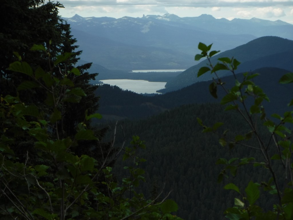
The first section of the hike is mellow as it contours along the west flank of Hughes Meadows, offering glimpses of the historic Hughes Meadows Cabin across the wetland. You can reach the cabin via car from near the trailhead; it is not possible to cross the wetland on foot.
This section can be a bit buggy in the early season, but it's also a great opportunity for wildlife watching. Deer and even moose sightings are common, and it's also possible to spot elusive grizzly bears on this trail! Hughes Meadows underwent a restoration project in the summer of 2018, work that is mostly visible from the historic cabin site although it should also result in improved habitat near the trail. This area was also burned over in the 2017 Hughes Fork Fire.
As the trail gradually ascends toward the Shedroof Divide there are several small stream crossings, at least two of which generally require a short and easy wade. The only major crossing is at Hughes Fork itself, at roughly the 7.2 mile mark. It's a great turn-around point for a day hike, and also a good camping area for a multi-day backpack. This is an incredibly clean campsite without so much as a campfire ring, so please be a good steward and keep it pristine.
After the Hughes Fork crossing the trail begins to ascend to the Shedroof Divide in earnest, climbing nearly 2000 feet over the next 3.3 miles as it crosses into Washington and enters the Salmo Priest Wilderness. Be sure to top off water bottles at the crossing, as this trail section is dry for several miles.
The total length of the Hughes Fork trail is 10 miles to where it joins the Shedroof Divide Trail near the Shedroof Cut-off intersection. This gives backpackers many options for longer treks in the area. The best of these is to continue south on the Shedroof Divide Trail approximately 6.4 miles to the Jackson Creek intersection, then take Jackson Creek to return to the starting trailhead for a long loop of approximately 26.8 miles.
 Trailhead


