

The Indian Dan Canyon Unit is part of a larger Wildlife Management area in the Columbia River Basin, featuring the shrub steppe landscape. Hiking along the old ranch road from the trailhead winds easily up the narrowing draw in a steep hillside. Along the way are classic skeletal remains of early 20th century farming equipment.
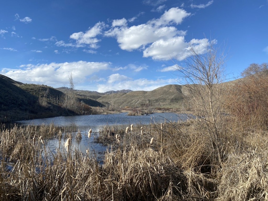
As you ascend the draw you will pass three increasingly smaller lakes. Though natural, their size is enhanced with earthen dams. Today they are vital to wildlife in the area. Numerous bird species, including raptors, grouse, California quail, and much waterfowl may be viewed here. Despite the very dry climate water plays an important role in this community. The lakes and their adjacent riparian zones are critical to most animal species in the area. Evidence of white tail deer, coyotes, and others abound if you look about. At one and one half miles the highest lake is reached, a perfect place for rest and reflection. Other than the local fauna you will likely have this place to yourself. Be sure to note the curious geologic features on your way out. The right (southern) side of the canyon has numerous plateaus. They are so uniformly flat that they appear to be man made. As many as eight of these flat steps ascend the steep hillside. Water flows from the ice-age and Missoula Floods events left these "bathtub rings". Equally impressive are the scattered basalt "haystacks" which appear to be outcrops of lava flows. In reality these are glacial erratics broken off much larger, older lava flows and deposited here by the Okanogan lobe of the last ice-age thirteen thousand years ago!
Early spring can be a good time to visit here as flowers flourish and the trees bud out. Views of the Columbia River and the Waterville Plateau are dramatic. When you've satiated your curiosity here there are 6 more shrub steppe units to visit!
WTA Pro Tip: This wildlife area borders several private properties. Please be aware of the recreation area boundaries if you plan on visiting the area and respect private land owners.
 Trailhead


