
The Klickitat Trail has been in use for possibly 2000 years. One of a number of trails connecting villages east and west of the Cascades, the Klickitat Trail ran between the east side settlements of Yakama and Klickitat people and the west side Taitnapam (Upper Cowlitz) settlements along the Cowlitz River. Because it crosses the Cascades at the headwaters of the Klickitat River, it became known as the Klickitat Trail.
The trail travels in mostly open territory. With the addition of several other existing trails, the entire west side route can be traced.
From the Cowlitz River Valley bottom at 950 feet elevation, the Pompey Peak Trail climbs to the ridgetop near Pompey Peak, joining the Klickitat Trail after about five miles.
For nearly 15 miles, the trail stays on the ridgeline, always close to a mile high in elevation! This offers a wide variety of landscapes: deep forest, sub-alpine meadows, lakes and tarns, rocky peaks and cliffs, an abundance of wildflowers, and expansive views including Mount Rainier, Mount Adams, Mount St. Helens, and the Goat Rocks Wilderness.
Near the eastern terminus of the Klickitat Trail, a section of trail descends to a low pass and Hugo Lake, then on to Chambers Lake. From there, the Snowgrass Trail and the Pacific Crest Trail ascend to Cispus Pass at 6473 feet, and the crossing of the Cascades into the Klickitat River valley, where you may spot a faint trail contouring the headwaters.
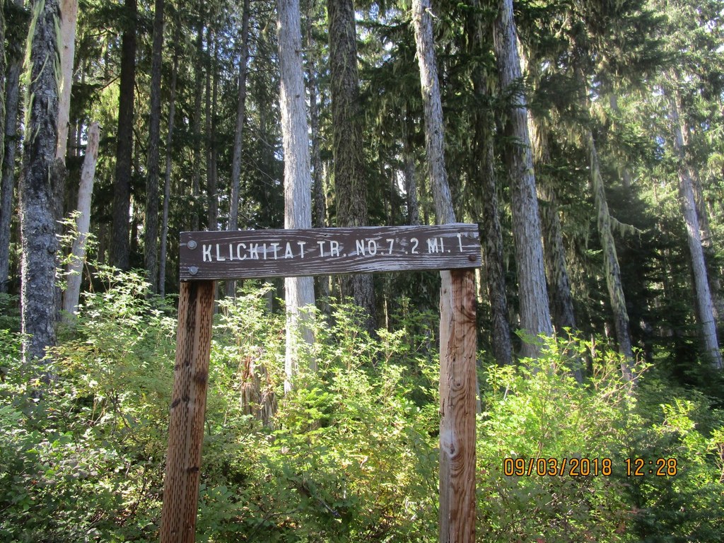
After years of no maintenance, the 17 mile Klickitat Trail is benefiting from a joint effort by Washington Trails Association, Back Country Horsemen of Washington, and other volunteer groups. Locations that have been difficult to access for years are beginning to be opened up thanks to regular trail maintenance from these groups.
Klickitat Trail

-
 Length
- 17.1 miles, roundtrip
-
 Elevation Gain
- 1,000 feet
-
 Highest Point
- 5,500 feet
A former Native American route into the high country of the South Cascades, the Klickitat Trail traverses a ridgetop between Kilborn Creek to Elk Peak. Views of Mount Adams and the south Cascades are breathtaking on clear days. From the ridgeline, hikers can spot Castle Butte, Jackpot Lake, St. Michaels Lake, and St. John Lake.
Continue reading
Hiking Klickitat Trail

WTA worked here in 2021, 2018, 2017, 2016 and 2015!
Map & Directions
 Trailhead
Before You Go
Parking Pass/Entry Fee
NoneWTA Pro Tip: Save a copy of our directions before you leave! App-based driving directions aren't always accurate and data connections may be unreliable as you drive to the trailhead.
Getting There
From I-5 take exit 68 for Hwy 12 east to Randle. (For volunteers coming from Seattle and the north, it is easier to head through Puyallup, find WA-161 to go through Eatonville, then follow WA-7 to Morton. From Morton follow Hwy 12 to Randle.
From Randle head east and in 12.5 miles look for Forest Road 20 (Smith Crk Rd) on your right. Follow 20 as it heads generally south. In about 4 miles stay left. You'll cross Smith Crk in another 0.5 miles. In another 1.2 miles stay right, then cross Smith Crk again. Stay on FS 20 for 6.6 more miles as it climbs to the headwaters of Smith Crk and to Jackpot Lake (the lake may not be visible through the trees, it is more like a large pond).
The road has a few spots that have been damaged by last winter's storms, but is passable. Plan on at least 1 hr. 15 min. to get from Randle to the Jackpot Lake TH.


